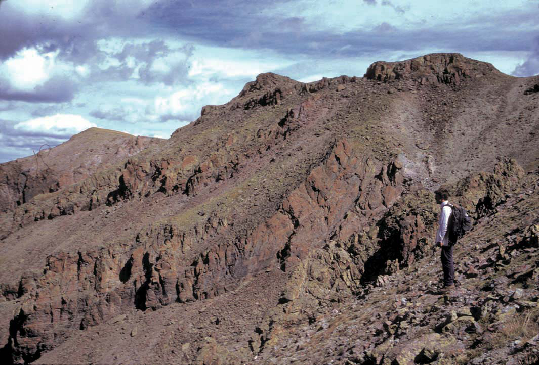
Stone Cellar Cabin
Campground
Campground · 1.5 mi from the trail
Caution at last check
Agency alerts are in effect for this area; weather is good · USFS, OpenWeather · checked 21 h ago
Closure in the area
There's a closure order in Rio Grande National Forest. It doesn't name Lake Fork, so check the source for the area it covers.
Closures and dangerous conditions on roads, bridges, and trails from flooding
Agency closure covering Rio Grande National Forest · USFS · Rio Grande National Forest
As of · Source: USFS · Rio Grande National Forest. Agencies don't list every closure — check before you go.
Lake Fork is a hard hike in the Saguache Ranger District of Colorado's Rio Grande National Forest, managed by the Forest Service. The route is an out-and-back that climbs from about 9,650 feet to 11,464 feet, a total gain of 1,796 feet over 11.2 miles. The trail is open year-round and is rated hard. It is a natural-surface route, and both horses and bikes are allowed. The Stone Cellar Guard Station and Stone Cellar Campground sit about 1.5 to 1.7 miles away, and the Saguache Creek and Deep Creek hikes are within about 2.6 miles.
Stone Cellar Cabin
Campground
Two Rivers BBQ
Restaurant
Creede Underground Mining Museum
Museum
Places © OpenStreetMap contributors
More in South ForkNot on Roamze yet. Their page has how to reach them.
Source: Roamze catalog (indexable pages within 10 miles, PostGIS distance)
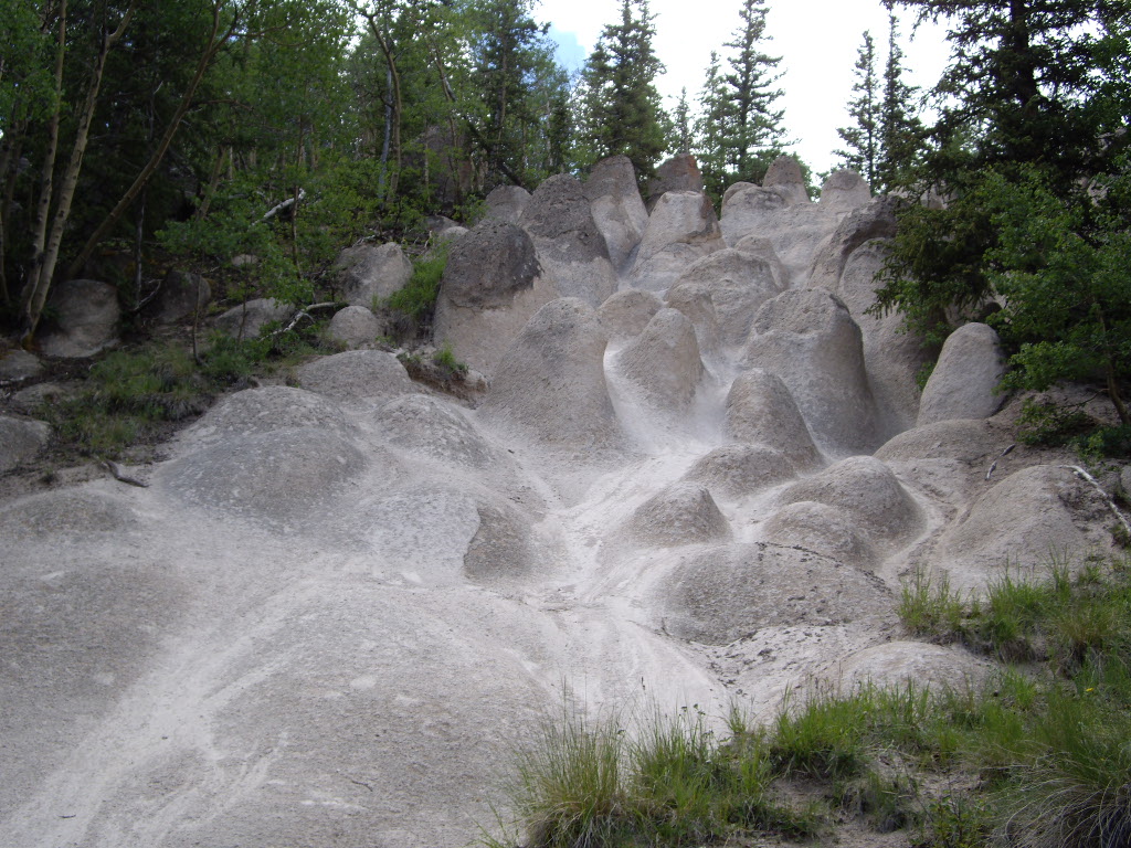 Wheeler LoopHiking · ~16 min drivePhoto: C. K. Hartman, CC BY 2.0 (via Flickr)
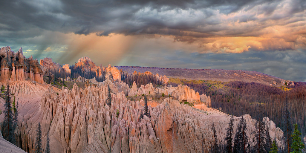 Wason Park Cut-OffHiking · ~18 min drivePhoto: snowpeak, CC BY 2.0 (via Flickr)