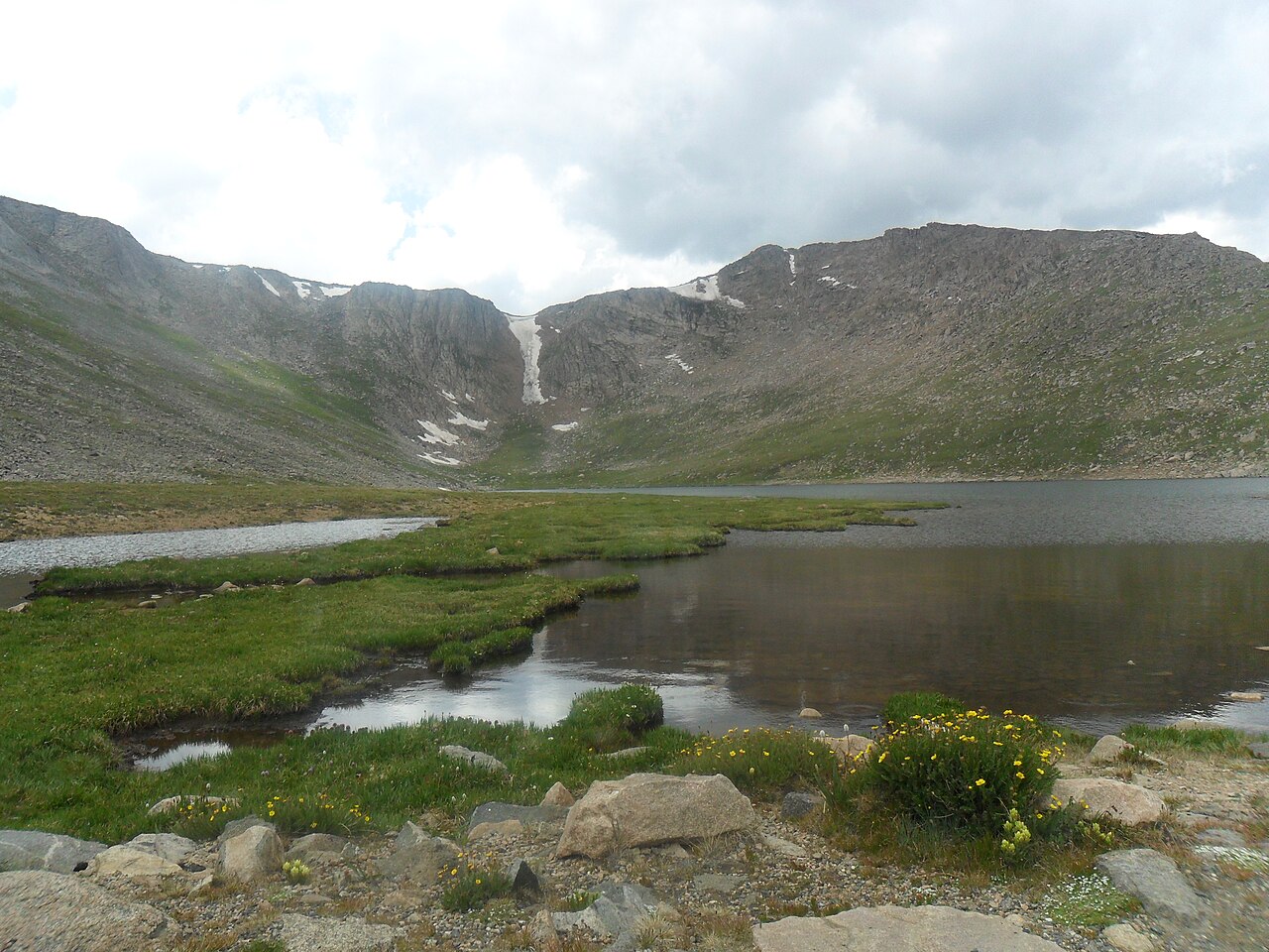
Guanella Pass Scenic Byway
Campground
Campground · 2.4 mi from the trail
 Photo: versute, CC BY-SA 3.0 (via Wikimedia Commons)
Alert in the area
The Forest Service lists 8 alerts for Pike and San Isabel National Forests.
FSR 286, Radical Hill, is closed due to washouts and unsafe conditions
Agency alert covering Pike and San Isabel National Forests · USFS · Pike and San Isabel National Forests
Interlaken Hotel Tree Hazards
Agency alert covering Pike and San Isabel National Forests · USFS · Pike and San Isabel National Forests
Sharpe Fire Update
Agency alert covering Pike and San Isabel National Forests · USFS · Pike and San Isabel National Forests
Turquoise Lake Road (County Road 4) Closure
Agency alert covering Pike and San Isabel National Forests · USFS · Pike and San Isabel National Forests
Downed and weakened trees on South Platte Ranger District
Agency alert covering South Platte Ranger District · USFS · South Platte Ranger District
As of · Source: USFS · Pike and San Isabel National Forests. Agencies don't list every closure — check before you go.
Sawtooth Ridge Traverse is a 1.4-mile hike with an 800-foot elevation gain, rated easy, in Colorado's Mount Evans Wilderness. It lies within the South Platte Ranger District of the Pike and San Isabel National Forests, managed by the Forest Service. The route climbs to a high point of about 12,800 feet. The hike is short and the climb is moderate, so it fits easily into a day spent exploring the surrounding area. Its location inside designated wilderness makes it a compact outing in a protected landscape, and its low distance and gain mean it works well as a standalone walk or as a link in a longer trip through the region. The Aprons, a climbing area, sits about 1.2 miles away, and Mt. Evans - mixed, couloirs is about 1.4 miles off. Mt. Bierstadt and Mount Blue Sky Ridge are both within 2 miles. For an overnight stay, Guanella Pass Campground is about 3.3 miles away.
Guanella Pass Scenic Byway
Campground
 If it rainsUser:Magicpiano, CC BY-SA 4.0 · Wikimedia Commons
Historic house-museum in Georgetown, Colorado, United States
Places © OpenStreetMap contributors · Photos: User:Magicpiano, CC BY-SA 4.0 (commons)
More in Idaho SpringsDaily highs and lows, wind and the chance of precipitation at the summit and route start for the next 7 days, from the Open-Meteo model.
 The ApronsRock climbingPhoto: brewbooks, CC BY-SA 2.0 (via Flickr)1.2 mi
 Mt. Evans - mixed, couloirsRock climbingPhoto: regexman, CC BY 2.0 (via Flickr)1.4 mi
 Mount Blue Sky RidgeHikingPhoto: gregor_y, CC BY-SA 2.0 (via Flickr)1.7 mi
 Geneva CreekCanoeingPhoto: Plazak, CC BY-SA 3.0 (via Wikimedia Commons)5.3 mi
Source: Roamze catalog (indexable pages within 10 miles, PostGIS distance)
Mount Blue Sky RidgeHiking · ~3 min drivePhoto: gregor_y, CC BY-SA 2.0 (via Flickr)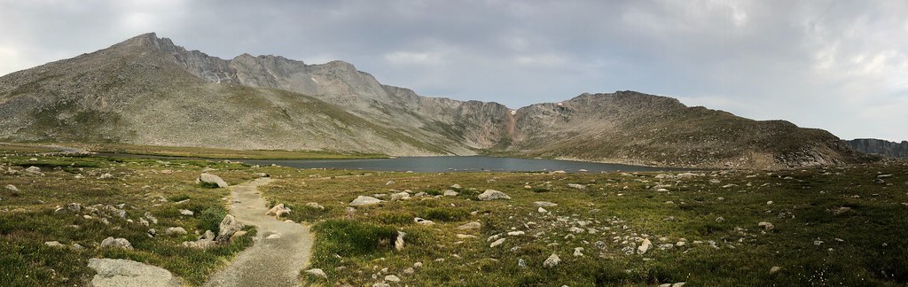 Mount Blue SkyHiking · ~3 min drivePhoto: regexman, CC BY 2.0 (via Flickr)
 Chicago Lakes TrailHiking · ~11 min drivePhoto: The original uploader was MattWright at English Wikipedia., CC BY 2.0 (via Wikimedia Commons)
 Epaulet MountainHiking · ~9 min drivePhoto: Tony Webster, CC BY 2.0 (via Flickr)
 Silver Dollar LakeHiking · ~6 min drivePhoto: kalestews, CC BY 2.0 (via Flickr)Gray Wolf MountainHiking · ~3 min drivePhoto: regexman, CC BY 2.0 (via Flickr)Terminal Moraine Interp LoopHiking · ~9 min drivePhoto: Tony Webster, CC BY 2.0 (via Flickr)
 South Chicago CreekHiking · ~10 min drivePhoto: jtsmmm, CC BY 3.0 (via Wikimedia Commons)
 Chicago LakesHiking · ~8 min drivePhoto: cleong, CC BY-SA 2.0 (via Flickr)
 Lincoln LakeHiking · ~8 min drivePhoto: squeaks2569, CC BY-SA 2.0 (via Flickr)
Season: Summer, early fall.
Snow and ice conditions persist well into summer; early season requires ice axe and crampons
About 1.4 mi.
About 800 ft of climbing round trip.
It is rated easy.
About 2.5 hours round trip.
Summer, early fall.
3: Sawtooth Ridge Traverse, Mount Bierstadt and Mt. Bierstadt.
Map and trail data © OpenStreetMap contributors