Echo Lake Campground
Campground
Campground · 3.0 mi from the trail
 Photo: squeaks2569, CC BY-SA 2.0 (via Flickr)
Blocked at last check
A road serving this area is closed; agency alerts are in effect for this area; weather is good · USFS, State DOT 511, OpenWeather · checked 17 h ago
Road closed
CO 5/Mount Blue Sky Road: road closure is listed as closed by CDOT 511.
CO 5/Mount Blue Sky Road: road closure
Closed · ~1.4 km from Lincoln Lake · CDOT 511
Fire Restrictions
Agency alert covering Arapaho and Roosevelt National Forests · USFS · Arapaho and Roosevelt National Forests
Slater Lake Area Closure
Agency alert covering Clear Creek Ranger District · Order 02-10-07-26-03 · USFS · Clear Creek Ranger District
Area Closure Surrounding the Devils Nose Target Range
Agency alert covering Clear Creek Ranger District · Order 02-10-07-26-01 · USFS · Clear Creek Ranger District
As of · Source: CDOT 511. Agencies don't list every closure — check before you go.
Local guides with trips near here. Ask them what they're running while this is closed.
Lincoln Lake is an easy hike of about 1.2 miles in the Mount Evans Wilderness, part of the Clear Creek Ranger District of the Arapaho and Roosevelt National Forests in Colorado. The Forest Service manages the land, and the trail is a short out-and-back with a one-way climb of about 230 feet, from roughly 11,427 feet to 11,681 feet. The trail is natural-surfaced and allows horses, and bikes are not permitted. That makes it a good choice for riders on horseback or for anyone who wants to keep the route simple. Summit Flats is about half a mile away, and the Beaver Meadows mountain biking area and the Lincoln Lake Slabs climbing area are each about a mile off. For an overnight stay, Echo Lake Campground sits about 3 miles away.
Echo Lake Campground
Campground
 If it rainsUser:Magicpiano, CC BY-SA 4.0 · Wikimedia Commons
Historic house-museum in Georgetown, Colorado, United States
Places © OpenStreetMap contributors · Photos: User:Magicpiano, CC BY-SA 4.0 (commons)
More in Idaho Springs Beaver MeadowsMountain bikingPhoto: Jb Lardizabal, CC BY 3.0 (via Wikimedia Commons)1.1 mi
 Echo Lake CampgroundCampingPhoto: squeaks2569 — CC BY-SA 2.0 (via Flickr)3 mi
 Clear CreekCanoeingPhoto: Ken Gallager at en.wikipedia, Public domain (via Wikimedia Commons)7.4 mi
Source: Roamze catalog (indexable pages within 10 miles, PostGIS distance)
 Chicago LakesHiking · ~4 min drivePhoto: cleong, CC BY-SA 2.0 (via Flickr)
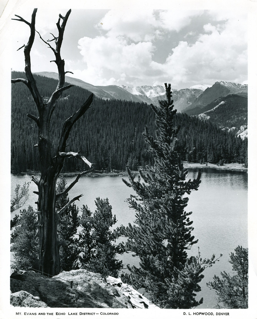 Resthouse Meadows TrailHiking · ~5 min drivePhoto: waterarchives, CC BY-SA 2.0 (via Flickr)
 Chicago Lakes TrailHiking · ~5 min drivePhoto: The original uploader was MattWright at English Wikipedia., CC BY 2.0 (via Wikimedia Commons)
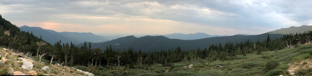 Resthouse MeadowsHiking · ~5 min drivePhoto: regexman, CC BY 2.0 (via Flickr)
 Mount Blue Sky RidgeHiking · ~6 min drivePhoto: gregor_y, CC BY-SA 2.0 (via Flickr)
 Sawtooth Ridge TraverseHiking · ~8 min drivePhoto: versute, CC BY-SA 3.0 (via Wikimedia Commons)
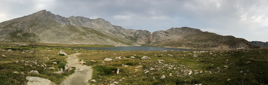 Gray Wolf MountainHiking · ~5 min drivePhoto: regexman, CC BY 2.0 (via Flickr)
 South Chicago CreekHiking · ~7 min drivePhoto: jtsmmm, CC BY 3.0 (via Wikimedia Commons)
 Chief MountainHiking · ~10 min drivePhoto: designsbykari, CC BY 2.0 (via Flickr)
Also worth it near here

