Guanella Pass Scenic Byway
Campground
Campground · 2.9 mi from the trail
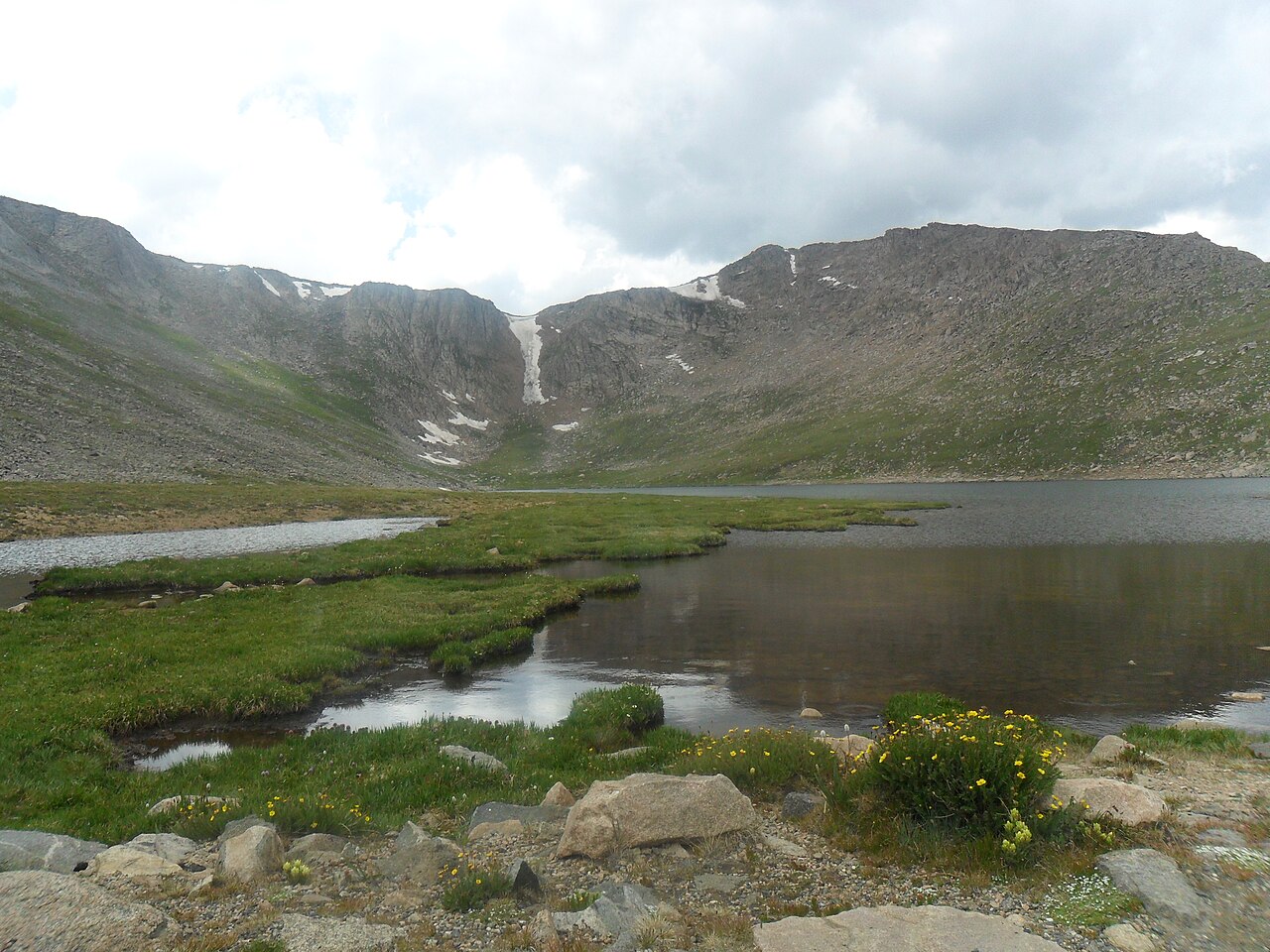 Photo: Hogs555, CC BY-SA 3.0 (via Wikimedia Commons)
Road closed
CO 5/Mount Blue Sky Road: road closure is listed as closed by CDOT 511.
CO 5/Mount Blue Sky Road: road closure
Closed · ~1.4 km from Mount Spalding · CDOT 511
FSR 286, Radical Hill, is closed due to washouts and unsafe conditions
Agency alert covering Pike and San Isabel National Forests · USFS · Pike and San Isabel National Forests
Interlaken Hotel Tree Hazards
Agency alert covering Pike and San Isabel National Forests · USFS · Pike and San Isabel National Forests
Sharpe Fire Update
Agency alert covering Pike and San Isabel National Forests · USFS · Pike and San Isabel National Forests
Turquoise Lake Road (County Road 4) Closure
Agency alert covering Pike and San Isabel National Forests · USFS · Pike and San Isabel National Forests
As of · Source: CDOT 511. Agencies don't list every closure — check before you go.
Mount Spalding is a summit of about 13,850 feet in Clear Creek County, Colorado, inside the Mount Evans Wilderness. The peak lies within the South Platte Ranger District of the Pike and San Isabel National Forests, which the Forest Service manages. The nearest town is Silver Plume, about 7.6 miles away. The Black Wall climbing area and the Mount Blue Sky Ridge hike both sit within about a mile of the summit. Guanella Pass Campground is about 3.3 miles away, and Clear Lake Campground is about 4.5 miles away.
Guanella Pass Scenic Byway
Campground
 If it rainsUser:Magicpiano, CC BY-SA 4.0 · Wikimedia Commons
Historic house-museum in Georgetown, Colorado, United States
Places © OpenStreetMap contributors · Photos: User:Magicpiano, CC BY-SA 4.0 (commons)
More in Idaho SpringsDaily highs and lows, wind and the chance of precipitation at the summit for the next 7 days, from the Open-Meteo model.
Elevation from USGS 3D Elevation Program terrain data (about 10 m resolution).
We don't know of a mapped trail or route to the summit of Mount Spalding. Plan the approach with local maps, a guidebook or a local guide, and check conditions before you go.
13,850 ft (4,221 m).
We don't know of a mapped trail or route to the summit. Plan the approach with local maps, a guidebook or a local guide.


 Mount Blue Sky RidgeHikingPhoto: gregor_y, CC BY-SA 2.0 (via Flickr)0.6 mi
 The ApronsRock climbingPhoto: brewbooks, CC BY-SA 2.0 (via Flickr)0.7 mi
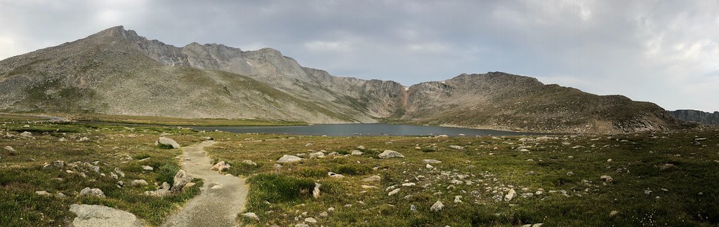 Mount Blue SkyHikingPhoto: regexman, CC BY 2.0 (via Flickr)0.8 mi
 Geneva CreekCanoeingPhoto: Plazak, CC BY-SA 3.0 (via Wikimedia Commons)6.7 mi
Source: Roamze catalog (indexable pages within 10 miles, PostGIS distance)
Mount Blue SkySummit · ~2 min drivePhoto: Lookinhere, CC BY-SA 3.0 (via Wikimedia Commons)Mount BierstadtSummit · ~2 min drivePhoto: Adam Ginsburg, CC BY-SA 2.5 (via Wikimedia Commons) Rosalie PeakSummit · ~7 min drivePhoto: McKelvyMG, CC0 (via Wikimedia Commons)
 Square Top MountainSummit · ~10 min drivePhoto: Kylie Stewart, CC BY 2.0 (via Wikimedia Commons)
 Argentine PeakSummit · ~11 min drivePhoto: Jeff Holland from Denver, CC BY-SA 2.0 (via Wikimedia Commons)
 Mount EdwardsSummit · ~13 min drivePhoto: Xnatedawgx, CC BY-SA 3.0 (via Wikimedia Commons)
 Ruby MountainSummit · ~15 min drivePhoto: Robert Tadlock, CC BY 2.0 (via Wikimedia Commons)
 Grays PeakSummit · ~15 min drivePhoto: Adam Ginsburg, CC BY-SA 2.5 (via Wikimedia Commons)
 Cooper MountainSummit · ~16 min drivePhoto: Robert Tadlock from Westminster, CC BY 2.5 (via Wikimedia Commons)
 Grizzly PeakSummit · ~18 min drivePhoto: Ben Mason from Denver, CC BY 2.0 (via Wikimedia Commons)
