

Lostfork Basecamp
Hiking business nearby (~10 mi away) — hasn't claimed their Roamze page yet
Free — you'll pick up right here.
Watch this trail
Sign up to watch it — saving subscribes you to gate, closure and report changes.
Colorado
4.3 mi
Distance
1,096 ft
Gain
We won't guess. Here is exactly what we do and don't know.
What we do know
Inside Arapaho and Roosevelt National Forests
3 managing-area boundaries mapped — agency alerts for them feed this page automatically.
Boundary data
Access via CO 5: Mount Blue Sky
Road status feeds from the state DOT 511 network.
State DOT 511 · 41 d ago
Nobody's filed a report here yet — be the first.
Why you'll love it
Mount Blue Sky Ridge
AI-suggested draft · review before you go
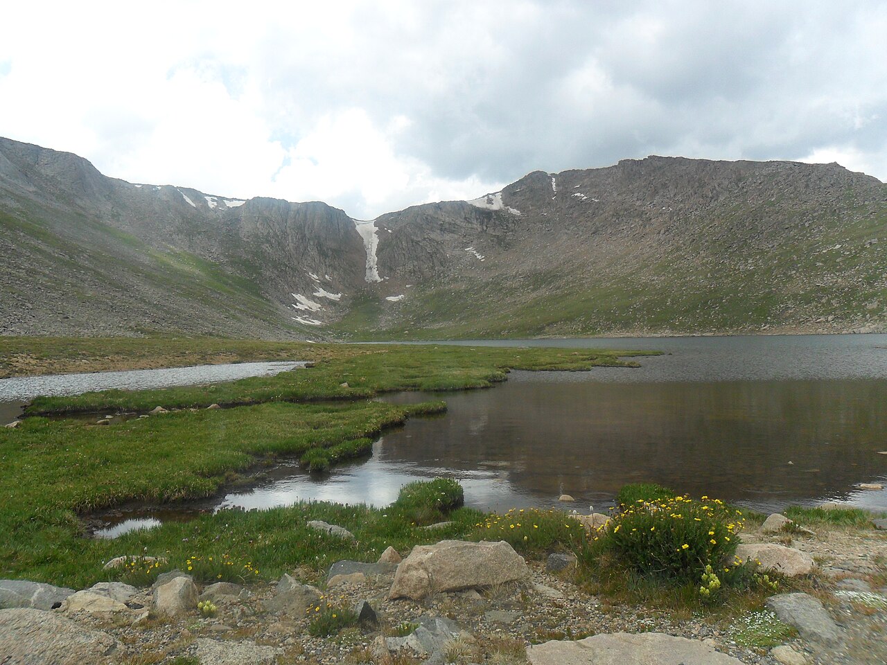
Mount Blue Sky Ridge is a 4.34-mile out-and-back hike in Colorado managed by Arapaho and Roosevelt National Forests. The trail gains 1,096 feet of elevation and reaches a maximum elevation of 14,170 feet.
 Photo: versute, CC BY-SA 3.0 (via Wikimedia Commons)
Sawtooth Ridge Traverse
~3 min drive
1.40-mile trail in Colorado with 800 ft gain and 12,800 ft max elevation.
 Photo: The original uploader was MattWright at English Wikipedia., CC BY 2.0 (via Wikimedia Commons)
Chicago Lakes Trail
~8 min drive
1.22-mile out-and-back trail in Colorado with 294 ft elevation gain and loss.
 Photo: jtsmmm, CC BY 3.0 (via Wikimedia Commons)
Devils Canyon Spur Trail
~11 min drive
3.1-mile out-and-back trail in Colorado with 1,437 ft gain and 10,567 ft max elevation.
Gray Wolf Mountain
~1 min drive
Route to the summit of Gray Wolf Mountain (13,609 ft) from Summit Lake (Mt. Blue Sky/Evans Road).
Epaulet Mountain
~12 min drive
Route to the summit of Epaulet Mountain (13,537 ft) from Burning Bear / Abyss Lake Trailhead.
Lincoln Lake
~6 min drive
1.19-mile out-and-back trail to Lincoln Lake in Colorado, 232 ft gain.
 Photo: jtsmmm, CC BY 3.0 (via Wikimedia Commons)
DEVILS CANYON SPUR
~12 min drive
1.82-mile out-and-back trail in Colorado with 1,170 ft elevation gain.
Mount Blue Sky
~1 min drive
Standard route to Mount Blue Sky (14,264 ft) from Summit Lake.
Rosalie Peak
~13 min drive
Route to the summit of Rosalie Peak (13,576 ft) from Deer Creek Trailhead.
Guanella Pass Overlook
~6 min drive
0.22-mile out-and-back trail at Guanella Pass Overlook, Colorado
Also worth it near here
Local operatorsoffering guided trips. You book directly with them — Roamze doesn’t take a cut.
Lostfork Basecamp
Hiking business nearby (~10 mi away) — hasn't claimed their Roamze page yet
Camp Always Choose Adventures
Hiking business nearby (~15 mi away) — hasn't claimed their Roamze page yet
Wildcat Mountaineering
Hiking business nearby (~47 mi away) — hasn't claimed their Roamze page yet
