Echo Lake Campground
Campground
Campground · 1.7 mi from the trail
 Photo: cleong, CC BY-SA 2.0 (via Flickr)
Road closed
CO 5/Mount Blue Sky Road: road closure is listed as closed by CDOT 511.
CO 5/Mount Blue Sky Road: road closure
Closed · ~1.0 km from Chicago Lakes · CDOT 511
Fire Restrictions
Agency alert covering Arapaho and Roosevelt National Forests · USFS · Arapaho and Roosevelt National Forests
Slater Lake Area Closure
Agency alert covering Clear Creek Ranger District · Order 02-10-07-26-03 · USFS · Clear Creek Ranger District
Area Closure Surrounding the Devils Nose Target Range
Agency alert covering Clear Creek Ranger District · Order 02-10-07-26-01 · USFS · Clear Creek Ranger District
As of · Source: CDOT 511. Agencies don't list every closure — check before you go.
Chicago Lakes is an 8-mile out-and-back hike in the Clear Creek Ranger District of the Arapaho and Roosevelt National Forests in Colorado, with a total elevation gain of 3,086 feet. The route rises from a low point of about 10,314 feet to a high of roughly 12,870 feet. The Forest Service manages the land, and the trail has a natural surface. The climb is hard, and the trail is open from June 1 to September 30, with the Captain Mountain Trailhead as the parking point. Horses are allowed on the trail. Several climbing areas sit right next to the route. The Bierstadt Area and French Kiss Area are both about 0.4 miles away, and the Alpine Garden Loop, a mountain biking route, is 0.8 miles off. Echo Lake Campground, about 1.7 miles away, offers a place to stay.
Echo Lake Campground
Campground
 If it rainsUser:Magicpiano, CC BY-SA 4.0 · Wikimedia Commons
Historic house-museum in Georgetown, Colorado, United States
Places © OpenStreetMap contributors · Photos: User:Magicpiano, CC BY-SA 4.0 (commons)
More in Idaho Springs Photo: The original uploader was MattWright at English Wikipedia., CC BY 2.0 (via Wikimedia Commons)
Chicago Lakes Trail
~3 min drive
1.22-mile out-and-back trail in Colorado with 294 ft elevation gain and loss.
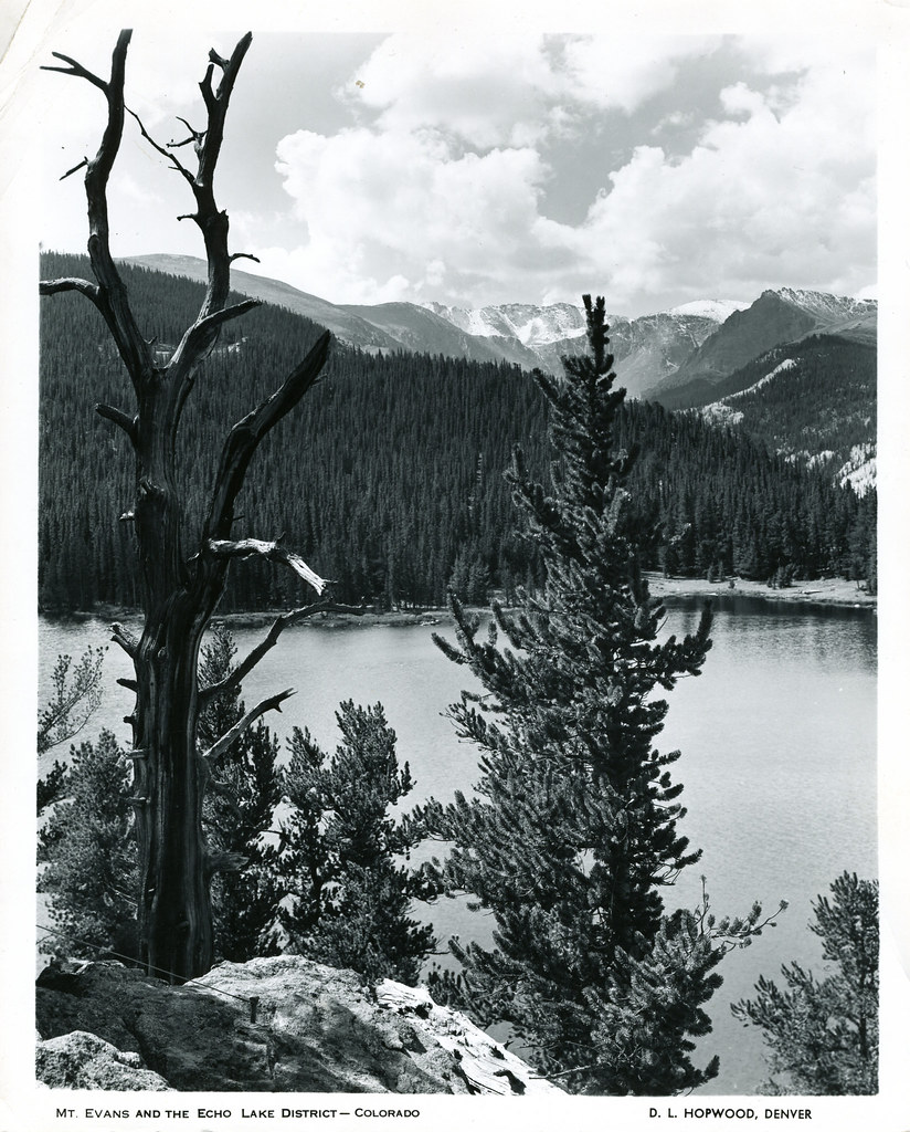 Photo: waterarchives, CC BY-SA 2.0 (via Flickr)
Resthouse Meadows Trail
~3 min drive
1.18-mile out-and-back trail in Colorado with 440 ft elevation gain.
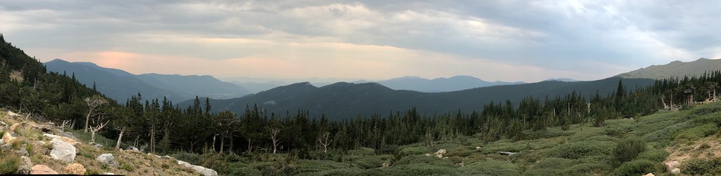 Photo: regexman, CC BY 2.0 (via Flickr)
Resthouse Meadows
~3 min drive
11.76-mile out-and-back trail in Colorado reaching 11,429 ft.
 Photo: squeaks2569, CC BY-SA 2.0 (via Flickr)
Lincoln Lake
~4 min drive
1.19-mile out-and-back trail to Lincoln Lake in Colorado, 232 ft gain.
 Photo: gregor_y, CC BY-SA 2.0 (via Flickr)
Mount Blue Sky Ridge
~5 min drive
4.34-mile out-and-back hike on Mount Blue Sky Ridge in Colorado, 1,096 ft gain, 14,170 ft max elevation.
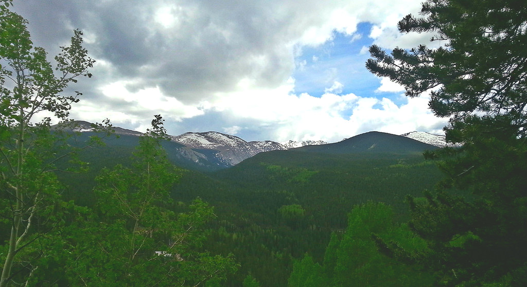 Photo: WasifMalik, CC BY 2.0 (via Flickr)
Captain Mountain
~4 min drive
16.48-mile out-and-back trail in Colorado reaching 10,622 ft.
 Photo: versute, CC BY-SA 3.0 (via Wikimedia Commons)
Sawtooth Ridge Traverse
~8 min drive
1.40-mile trail in Colorado with 800 ft gain and 12,800 ft max elevation.
 Photo: jtsmmm, CC BY 3.0 (via Wikimedia Commons)
Devils Canyon Spur Trail
~6 min drive
3.1-mile out-and-back trail in Colorado with 1,437 ft gain and 10,567 ft max elevation.
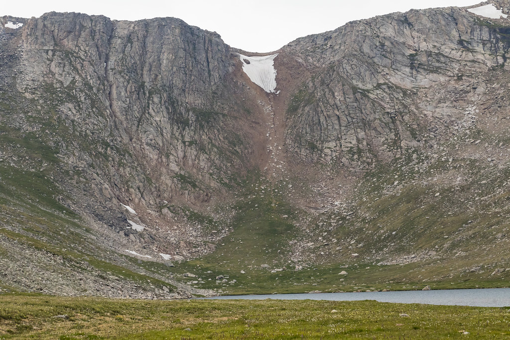 Photo: John Game, CC BY 2.0 (via Flickr)
Rogers Peak
~5 min drive
Route to the summit of Rogers Peak (13,323 ft) from Summit Lake Lot.
 Photo: KimonBerlin, CC BY-SA 2.0 (via Flickr)
Anna Trail
~9 min drive
1.4-mile out-and-back trail in Colorado with 323 ft elevation gain.

