Rustler Gulch
- 3.4 mi
- loop
- 1,884 ft
- climb
- 11,268 ft
- high point
- Loop
- route
Is Rustler Gulch open right now?
Closure in the area
There's a closure order in Grand Mesa, Uncompahgre and Gunnison National Forests. It doesn't name Rustler Gulch, so check the source for the area it covers (2 listed).
Gold Mountain Wildfire Roads and Trails Closure Order v 4.0
Agency closure covering Grand Mesa, Uncompahgre and Gunnison National Forests · USFS · Grand Mesa, Uncompahgre and Gunnison National Forests
Ophir Pass Road Closure
Agency closure covering Grand Mesa, Uncompahgre and Gunnison National Forests · USFS · Grand Mesa, Uncompahgre and Gunnison National Forests
Potter Basin Road Closure Order
Agency alert covering Grand Mesa, Uncompahgre and Gunnison National Forests · USFS · Grand Mesa, Uncompahgre and Gunnison National Forests
Beaver Park Road Closure Order
Agency alert covering Grand Mesa, Uncompahgre and Gunnison National Forests · USFS · Grand Mesa, Uncompahgre and Gunnison National Forests
TERMINATION OF ORDER - FIRE RESTRICTIONS
Agency alert covering Grand Mesa, Uncompahgre and Gunnison National Forests · USFS · Grand Mesa, Uncompahgre and Gunnison National Forests
As of · Source: USFS · Grand Mesa, Uncompahgre and Gunnison National Forests. Agencies don't list every closure — check before you go.
Rustler Gulch is a 3.4-mile loop hike in Colorado's Maroon Bells-Snowmass Wilderness, within the Gunnison Ranger District of the Grand Mesa, Uncompahgre and Gunnison National Forests. The trail rises from a low point of 9,685 feet to a high of 11,268 feet, with a total elevation gain of 1,884 feet. It is a hard route, and the Forest Service manages the land. The trail is natural-surfaced and allows horses, but not bikes. The Rustler Gulch Trailhead is the parking point, and the open season runs from about June 15 to October 15. Plan for about two hours on the trail. Precarious Peak lies about 0.6 miles away, and the Gothic Camping Area is about a mile off. The Crested Butte climbing area is roughly 1.4 miles away, and the East River offers canoeing about 6.5 miles from the trail.
Go with a guide
- Mineral Belt Trail Guided WalkNexPM AI · $25 per person · 42 mi away
- Maroon Bells Guide and Outfitters13 mi away
 Precarious PeakHikingPhoto: Jeffrey Pang from Berkeley, CA, USA, CC BY 2.0 (via Wikimedia Commons)0.6 mi
- trail 401Mountain biking0.7 mi
- Gothic Camping AreaCamping1 mi
 Campsites GC 4-8CampingPhoto: James St. John, CC BY 2.0 (via Wikimedia Commons)1 mi
- Crested ButteRock climbing1.4 mi
- East RiverCanoeing6.5 mi
 Slate RiverCanoeingPhoto: Jeffrey Beall, CC BY 3.0 (via Wikimedia Commons)7.5 mi
- Skyland BouldersRock climbing8.2 mi
Source: Roamze catalog (indexable pages within 10 miles, PostGIS distance)
- Precarious PeakHiking · ~1 min drivePhoto: Jeffrey Pang from Berkeley, CA, USA, CC BY 2.0 (via Wikimedia Commons)
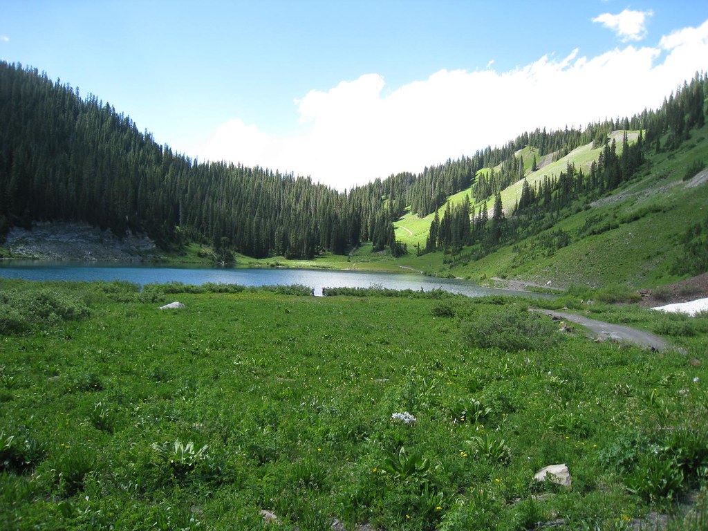 Schofield TrailHiking · ~4 min drivePhoto: GSEC, CC BY 2.0 (via Flickr)
- Gothic Mountain TrailHiking · ~4 min drivePhoto: Jeffrey Pang from Berkeley, CA, USA, CC BY 2.0 (via Wikimedia Commons)
 Judd FallsHiking · ~4 min drivePhoto: Charlie DeTar, CC BY-SA 3.0 (via Wikimedia Commons)
 Hagerman PeakHiking · ~12 min drivePhoto: The Greater Southwestern Exploration Company from Long Beach, California, United States, CC BY 2.0 (via Wikimedia Commons)
 Yule PassHiking · ~6 min drivePhoto: GSEC, CC BY 2.0 (via Flickr)
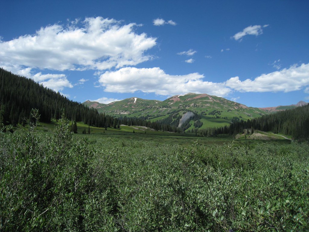 Trail RidersHiking · ~4 min drivePhoto: GSEC, CC BY 2.0 (via Flickr)
 Snodgrass Spur 2AHiking · ~10 min drivePhoto: Kyle Watson Photography, CC BY-SA 2.0 (via Flickr)
- Treasury MountainHiking · ~7 min drivePhoto: The Greater Southwestern Exploration Company from Long Beach, California, United States, CC BY 2.0 (via Wikimedia Commons)
 Teddy's TrailHiking · ~10 min drivePhoto: Alissa Walker, CC BY-SA 2.0 (via Wikimedia Commons)
Also worth it near here
- Campsites GC 4-8Camping · ~2 min drivePhoto: James St. John, CC BY 2.0 (via Wikimedia Commons)
- Crested ButteRock climbing · ~2 min drive
- Washington Gulch TrailCross-country skiing · ~3 min drivePhoto: Jeffrey Pang from Berkeley, CA, USA, CC BY 2.0 (via Wikimedia Commons)
 Gothic MountainSummit · ~5 min drivePhoto: Jeffrey Beall from Denver, Colorado, USA, CC BY-SA 2.0 (via Wikimedia Commons)
