Routt Divide
- 15.7 mi
- round trip
- 752 ft
- climb
- 10,049 ft
- high point
- Out and back
- route
Caution at last check
Agency alerts are in effect for this area; weather is good · USFS, OpenWeather · checked 21 h ago
Is Routt Divide open right now?
Alert in the area
The Forest Service lists 3 alerts for Medicine Bow-Routt National Forest.
Access Impact: Big Creek Lakes Dam Project
Agency alert covering Medicine Bow-Routt National Forest · USFS · Medicine Bow-Routt National Forest
Trail & Access Impact: Stillwater Reservoir Project
Agency alert covering Medicine Bow-Routt National Forest · USFS · Medicine Bow-Routt National Forest
Snowy Range - 2026 Active Vegetation Operations
Agency alert covering Medicine Bow-Routt National Forest · USFS · Medicine Bow-Routt National Forest
As of · Source: USFS · Medicine Bow-Routt National Forest. Agencies don't list every closure — check before you go.
Routt Divide is a hard, out-and-back hike of about 15.7 miles in the Yampa Ranger District of the Medicine Bow-Routt National Forest in Colorado. It rises from a low point of about 9,167 feet to a high point of about 10,049 feet, a climb of about 752 feet one way. The Forest Service manages the land, and the trail is natural-surfaced, open to both horses and bikes, and not accessible. The trail begins at the Routt Divide Trailhead, also known as Buffalo Park Trailhead, and is open year-round. Other Rose Dome and Muddy Creek are climbing areas about 2.7 to 2.8 miles away, and Rabbit Ears Pass Camp is a campground about 4.2 miles off. The West Summit Loop #1A hike lies about 4.7 miles from the trail.
Local outfitters
- Rancho Del Rio30 mi away
- Flat Tops Wilderness Guides45 mi away
Not on Roamze yet. Their page has how to reach them.
- Other Rose DomeRock climbing2.7 mi
- Muddy CreekRock climbing2.8 mi
- Wild camping spotCamping3.3 mi
- Harrison CreekCanoeing3.4 mi
- Rabbit Ears Pass CampCamping4.2 mi
- Sarvis CreekCanoeing4.5 mi
- West Summit Loop #1AHiking4.7 mi
 Lost LakeHikingPhoto: threeagoutdoors, CC BY 4.0 (via Wikimedia Commons)8.4 mi
Source: Roamze catalog (indexable pages within 10 miles, PostGIS distance)
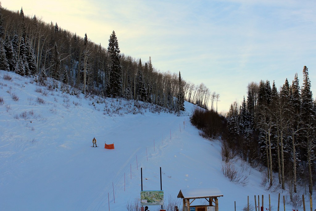 Pete's Wicked TrailHiking · ~15 min drivePhoto: blt04, CC BY 2.0 (via Flickr)
 Mountain ViewHiking · ~16 min drivePhoto: Greg Younger from Parker, Colorado, USA, USA, CC BY-SA 2.0 (via Wikimedia Commons)
 Vista Nature TrailHiking · ~17 min drivePhoto: John Holm from Leadville, CO, USA, CC BY 2.0 (via Wikimedia Commons)
- SunshineHiking · ~15 min drivePhoto: blt04, CC BY 2.0 (via Flickr)
- Sarvis CreekHiking · ~13 min drive
 Spur RunHiking · ~17 min drivePhoto: blt04, CC BY 2.0 (via Flickr)
 Storm Peak ChallengeHiking · ~17 min drivePhoto: Flyinace2000, CC BY-SA 2.0 (via Flickr)
- Silver CreekHiking · ~15 min drive
- Tenderfoot TrailHiking · ~18 min drivePhoto: John Holm from Leadville, CO, USA, CC BY 2.0 (via Wikimedia Commons)
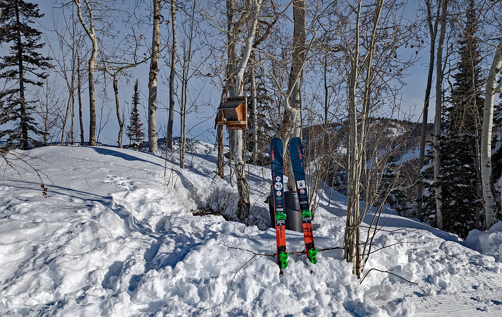 ThunderheadHiking · ~18 min drivePhoto: oc14me, CC BY 2.0 (via Flickr)

