Tall Texan RV Park
Campground
Campground · 2.3 mi from the trail
Ridge Trail is a short, easy hike on Bureau of Land Management land in the Gunnison Field Office of Colorado. The trail is about half a mile from the starting point, and the whole route is roughly a mile out and back, so it works well as a quick stop or a warm-up before exploring nearby. The trail rises to a high point of 8,663 feet, with a total climb of about 230 feet on the way out and the same on the way back. The steepest section comes early, about a quarter of a mile in, with a grade of about 12%. The low point of the route sits at 8,504 feet. For comfortable weather, late spring and early fall are the best bets. Typical averages from a nearby weather station in Gunnison show May highs around 66°F and September highs around 70°F. July and August run warmer, with highs near 80°F, while winter months are cold. The station's elevation is several hundred feet lower than the trail, so temperatures on the ridge run cooler. Northwoods Trail is about 0.4 miles away, and Ridge (East) Trail is about 0.7 miles away. Climbers can reach Corridor, The, about 1.8 miles off, and Tall Texan RV Park is about 2.3 miles away for an overnight stay.
Tall Texan RV Park
Campground
Waunita Pass
Viewpoint
Places © OpenStreetMap contributors, Places © Overture Maps Foundation
More in PitkinNot on Roamze yet. Their page has how to reach them.
Source: Roamze catalog (indexable pages within 10 miles, PostGIS distance)
 South Rim TrailHiking · ~4 min drivePhoto: Ken Lund from Reno, Nevada, USA, CC BY-SA 2.0 (via Wikimedia Commons)
 RidgelineHiking · ~5 min drivePhoto: Ken Lund from Reno, Nevada, USA, CC BY-SA 2.0 (via Wikimedia Commons)Van Tuyl TrailHiking · ~6 min drivePhoto: Ken Lund from Reno, Nevada, USA, CC BY-SA 2.0 (via Wikimedia Commons)
 The RidgeHiking · ~11 min drivePhoto: Matt Lavin, CC BY-SA 2.0 (via Flickr)
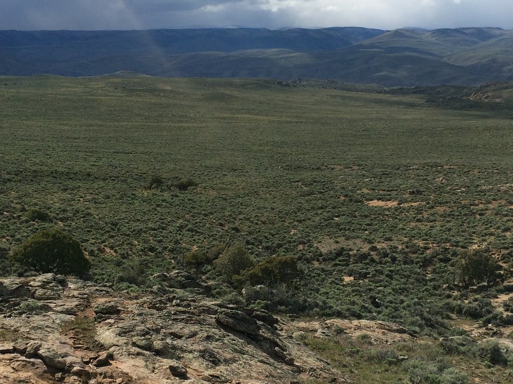 Rocky RidgeHiking · ~13 min drivePhoto: Matt Lavin, CC BY-SA 2.0 (via Flickr)
Best months: June–September. Best months have typical highs of 55–85 °F, lows of 30 °F or warmer (32 °F where the station doesn't record snow), at most one snowy day and no more than 12 wet days.
Jan
26° / -6°
7 wet
Feb
30° / 1°
6 wet
Mar
44° / 14°
5 wet
Apr
56° / 23°
5 wet
May
66° / 30°
6 wet
Jun
76° / 36°
6 wet
Jul
80° / 44°
10 wet
Aug
77° / 43°
11 wet
Sep
70° / 34°
9 wet
Oct
60° / 22°
6 wet
Nov
44° / 11°
5 wet
Dec
28° / -3°
7 wet
Typical high / low (°F) and days with rain or snow, 1991–2020. Measured at Gunnison 3sw, CO, 6.2 mi away at 7,622 ft. The station sits about 1,000 ft lower than this place, so expect it a little cooler here. This station doesn't record snowfall. Source: NOAA NCEI U.S. Climate Normals 1991–2020.
Map and trail data © OpenStreetMap contributors
