Red Mountain
- 6.1 mi
- round trip
- 2,850 ft
- climb
- 13,901 ft
- high point
- Out and back
- route
Red Mountain is a hard hike in Colorado, rising to 13,901 feet. The route starts at the trailhead and covers 6.1 miles round trip with about 2,850 feet of climbing. The mapped trail ends 0.7 miles short of the summit, and the final stretch is off-trail with no mapped path, so route-finding is needed to reach the top. The nearest town is La Valley, about 7.7 miles away. Culebra Peak sits just 0.1 mile from the trail, making it an easy addition to the day. Purgatoire Campground and Stonewall RV & Camping are both about 9.8 miles away and offer places to stay.
Conditions and forecast on Red Mountain
Daily highs and lows, wind and the chance of precipitation at the summit and route start for the next 7 days, from the Open-Meteo model.
- Culebra PeakHiking0.1 mi
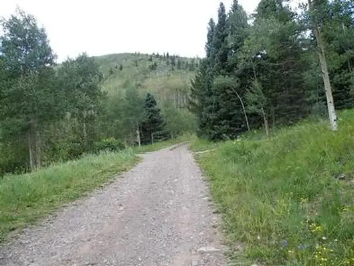 Purgatoire CampgroundCampingPhoto: Recreation.gov (RIDB) / public domain9.8 mi
- Stonewall RV & CampingCamping9.8 mi
Source: Roamze catalog (indexable pages within 10 miles, PostGIS distance)
 West Spanish PeakHiking · ~31 min drivePhoto: User:wallerdog, CC BY-SA 3.0 (via Wikimedia Commons)
- West PeakHiking · ~31 min drivePhoto: User:wallerdog, CC BY-SA 3.0 (via Wikimedia Commons)
 Vista Point Handicapped TrailHiking · ~31 min drivePhoto: kalestews, CC BY 2.0 (via Flickr)
- Levi KrierHiking · ~32 min drivePhoto: User:wallerdog, CC BY-SA 3.0 (via Wikimedia Commons)
 Acoma TrailHiking · ~42 min drivePhoto: dph1110, CC BY 2.0 (via Flickr)
- North ForkHiking · ~17 min drive
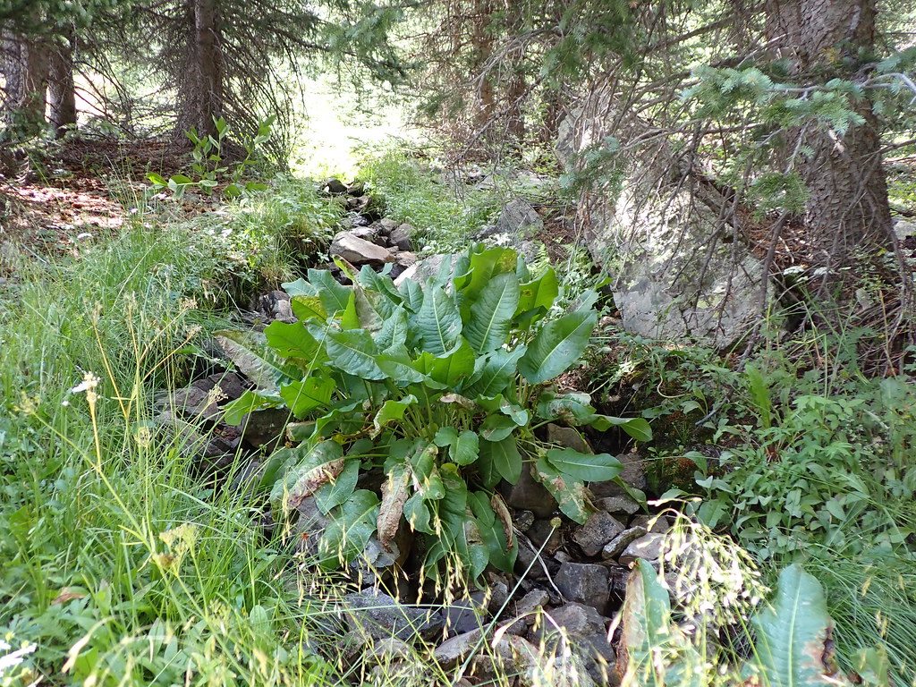 LAKE FORKHiking · ~47 min drivePhoto: Matt Lavin, CC BY-SA 2.0 (via Flickr)
- Indian Creek TrailHiking · ~38 min drive
 Bull CreekHiking · ~47 min drivePhoto: Matt Lavin, CC BY-SA 2.0 (via Flickr)
- Dodgeton Creek TrailHiking · ~28 min drive

Route details
- Distance
- 6.1 mi round trip
- Climbing
- About 2,850 ft
- Summit
- 13,908 ft
- Difficulty
- Hard
Permits and fees
Private land: Cielo Vista Ranch. Paid reservation required ($150/person as of 2025; Fridays-Sundays, January-July only; signed waiver per climber). Book at cielo-vista-ranch.info. Sources: https://www.cielo-vista-ranch.info/activities/climbing-hiking/ , https://www.14ers.com/route.php?route=cule1
Questions about this route
How long is the Red Mountain on Red Mountain?
About 6.1 mi round trip.
How much elevation gain is on the Red Mountain?
About 2,850 ft of climbing round trip.
How hard is the Red Mountain?
It is rated hard.
Do you need a permit for the Red Mountain?
Private land: Cielo Vista Ranch. Paid reservation required ($150/person as of 2025; Fridays-Sundays, January-July only; signed waiver per climber). Book at cielo-vista-ranch.info. Sources: https://www.cielo-vista-ranch.info/activities/climbing-hiking/ , https://www.14ers.com/route.php?route=cule1
© openrouteservice.org by HeiGIT | Map data © OpenStreetMap contributors
