Indian Creek Trail
- 6.3 mi
- round trip
- 4,747 ft
- climb
- 11,206 ft
- high point
- Out and back
- route
Is Indian Creek Trail open right now?
Closure in the area
There's a closure order in San Carlos Ranger District. It doesn't name Indian Creek Trail, so check the source for the area it covers.
East Bear Gulch NFST 1333 seasonal closure
Agency closure covering San Carlos Ranger District · Order 02-12-03-26-14 · USFS · San Carlos Ranger District
Reduced Aspen Acres Fire closure order
Agency alert covering San Carlos Ranger District · Order 02-12-03-26-43 · USFS · San Carlos Ranger District
FSR 286, Radical Hill, is closed due to washouts and unsafe conditions
Agency alert covering Pike and San Isabel National Forests · USFS · Pike and San Isabel National Forests
Interlaken Hotel Tree Hazards
Agency alert covering Pike and San Isabel National Forests · USFS · Pike and San Isabel National Forests
Sharpe Fire Update
Agency alert covering Pike and San Isabel National Forests · USFS · Pike and San Isabel National Forests
As of · Source: USFS · San Carlos Ranger District. Agencies don't list every closure — check before you go.
Indian Creek Trail is a 6.3-mile moderate hike in the San Carlos Ranger District of the Pike and San Isabel National Forests in Colorado, managed by the Forest Service. The trail is an out-and-back that starts at about 8,780 feet and climbs to a high point of 11,206 feet, with a total elevation gain of 4,747 feet over the round trip. The climb is front-loaded, with the steepest stretch at about 1.4 miles in, where the grade reaches 45 percent. The most comfortable time to go is summer, when typical averages from a nearby weather station run in the low to mid 80s °F. Winter brings typical averages near zero. Nearby, the Mountain Bike Trail near South Fork West Indian Creek is about 4 miles away, and the Bonnett Creek and Dodgeton Creek Trail hikes are both within about 5 miles. For an overnight stay, La Veta Pines RV Park is about 8 miles off.
Conditions and forecast on Raspberry Mountain
Daily highs and lows, wind and the chance of precipitation at the summit and route start for the next 7 days, from the Open-Meteo model.
- Mountain Bike Trail near South Fork West Indian CreekMountain biking3.9 mi
- BONNETT CREEKHiking4.4 mi
- Dodgeton Creek TrailHiking5.4 mi
- Trinchera PeakHiking5.8 mi
- La Veta Pines RV ParkCamping7.7 mi
 Circle The Wagons RV ParkCampingPhoto: Jeffrey Beall, CC BY 4.0 (via Wikimedia Commons)8 mi
- Sammies Motel/RVCampingPhoto: Jeffrey Beall, CC BY 4.0 (via Wikimedia Commons)8.1 mi
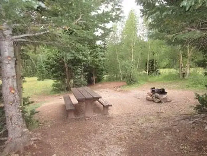 Bear Lake Campground (co)CampingPhoto: Recreation.gov (RIDB) / public domain8.7 mi
Source: Roamze catalog (indexable pages within 10 miles, PostGIS distance)
 Levi KrierHiking · ~16 min drivePhoto: User:wallerdog, CC BY-SA 3.0 (via Wikimedia Commons)
 Vista Point Handicapped TrailHiking · ~16 min drivePhoto: kalestews, CC BY 2.0 (via Flickr)
- West PeakHiking · ~16 min drivePhoto: User:wallerdog, CC BY-SA 3.0 (via Wikimedia Commons)
- West Spanish PeakHiking · ~16 min drivePhoto: User:wallerdog, CC BY-SA 3.0 (via Wikimedia Commons)
 California PeakHiking · ~45 min drivePhoto: Eric Johnson, CC BY-SA 3.0 (via Wikimedia Commons)
 Equestrian TrailHiking · ~32 min drivePhoto: Jeffrey Beall, CC BY 2.0 (via Flickr)
 Cuerno Verde TrailHiking · ~34 min drivePhoto: Jeffrey Beall, CC BY 2.0 (via Flickr)
 S. ZapataHiking · ~43 min drivePhoto: Fredlyfish4, CC BY-SA 4.0 (via Wikimedia Commons)
- Twin PeaksHiking · ~45 min drivePhoto: Eric Johnson, CC BY-SA 3.0 (via Wikimedia Commons)
- Cuerno Verde TrailHiking · ~33 min drivePhoto: Jeffrey Beall, CC BY 2.0 (via Flickr)
Route details
- Distance
- 6.3 mi round trip
- Climbing
- About 4,747 ft
- Summit
- 11,245 ft
- Difficulty
- Expert
- Time
- About 3.5 hours
Questions about this route
How long is the Indian Creek Trail on Raspberry Mountain?
About 6.3 mi round trip.
How much elevation gain is on the Indian Creek Trail?
About 4,747 ft of climbing round trip.
How hard is the Indian Creek Trail?
It is rated expert.
How long does the Indian Creek Trail take?
About 3.5 hours round trip.
Map and trail data © OpenStreetMap contributors
