Acoma Trail
 Photo: dph1110, CC BY 2.0 (via Flickr)
- 6.1 mi
- round trip
- 303 ft
- climb
- 7,620 ft
- high point
- Out and back
- route
- May–Sep
- best months
Acoma Trail is a 6.07-mile hike in Colorado, about 3 miles from the town of Mesita. It is a hard-rated route, and the out-and-back trip covers about 12 miles with a total elevation gain and loss of 303 feet each way. The climb is mostly flat, with the steepest stretch at about 5 miles, where the grade reaches 2 percent. The route starts at roughly 7,593 feet and reaches a high point of about 7,620 feet. Summer and early fall are the most comfortable times to go. Typical averages from a nearby weather station in San Luis show July highs around 82°F and September highs near 74°F, with July and August the wettest months. The Uncompagre Trail lies just 0.7 miles away. The Cochetopa Trail and Shavano Trail are each about 4.6 miles off, and the Durango Trail is about 5.5 miles away.
Local outfitters
- Taos Mountain Outfitters46 mi away
Not on Roamze yet. Their page has how to reach them.
- Uncompagre TrailHiking0.7 mi
- Cochetopa TrailHiking4.6 mi
- Shavano TrailHiking4.6 mi
- Durango TrailHiking5.5 mi
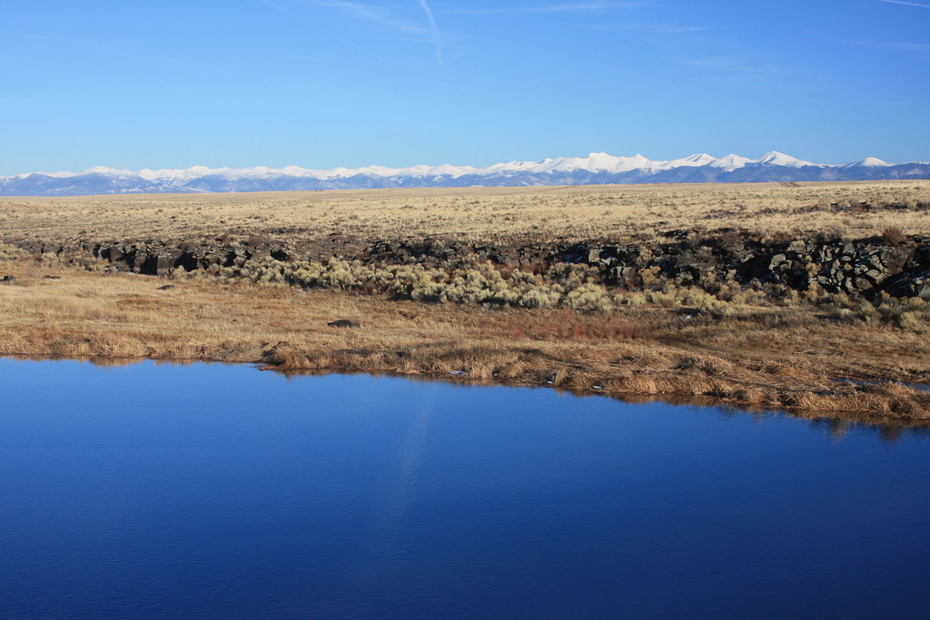 Owanha TrailHikingPhoto: dph1110, CC BY 2.0 (via Flickr)5.6 mi
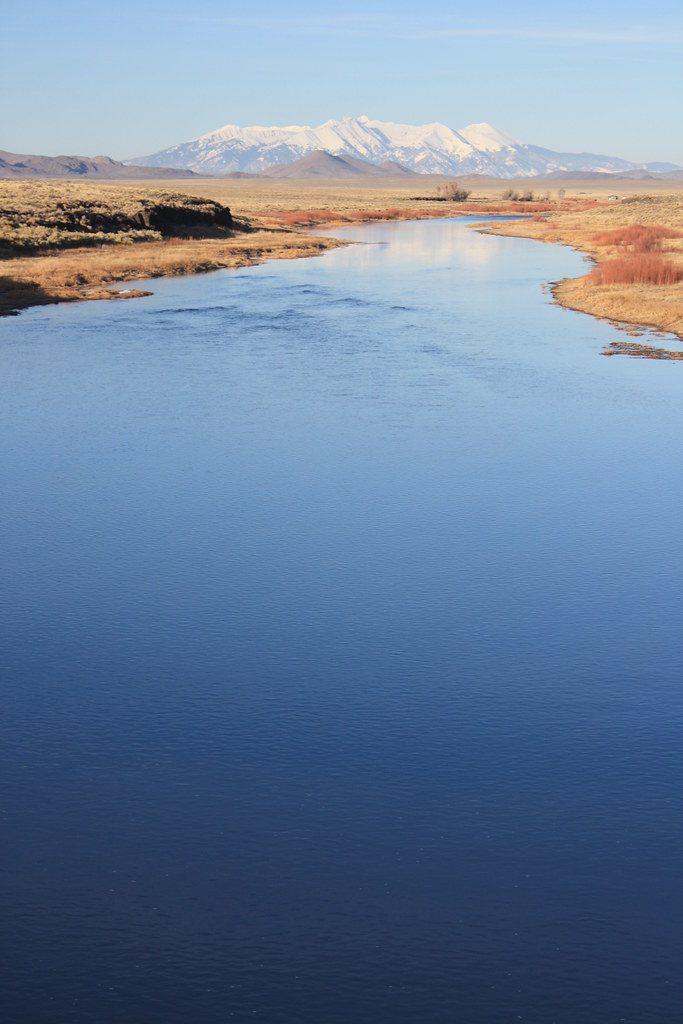 Kaiparowits TrailHikingPhoto: dph1110, CC BY 2.0 (via Flickr)5.6 mi
- Tavaputs TrailHikingPhoto: dph1110, CC BY 2.0 (via Flickr)5.6 mi
- Towganoxie TrailHikingPhoto: dph1110, CC BY 2.0 (via Flickr)5.6 mi
Source: Roamze catalog (indexable pages within 10 miles, PostGIS distance)
- Owanha TrailHiking · ~10 min drivePhoto: dph1110, CC BY 2.0 (via Flickr)
 Bull CreekHiking · ~38 min drivePhoto: Matt Lavin, CC BY-SA 2.0 (via Flickr)
- Uncompagre TrailHiking · ~1 min drive
- Kaiparowits TrailHiking · ~10 min drivePhoto: dph1110, CC BY 2.0 (via Flickr)
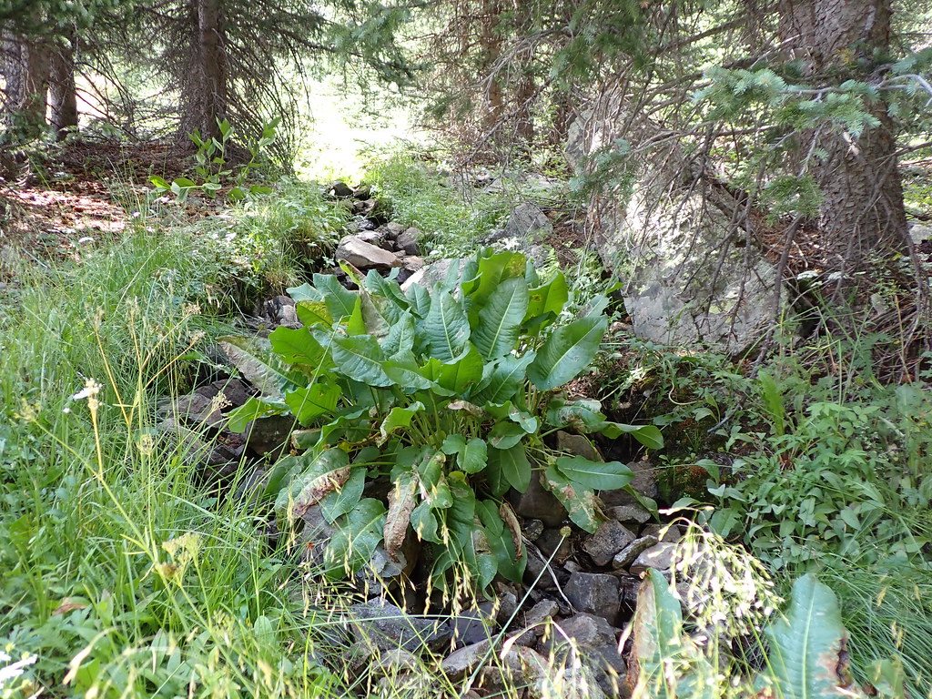 MidnightHiking · ~40 min drivePhoto: Matt Lavin, CC BY-SA 2.0 (via Flickr)
- Rito Del MedioHiking · ~36 min drive
- Tavaputs TrailHiking · ~10 min drivePhoto: dph1110, CC BY 2.0 (via Flickr)
- Cavalry TrailHiking · ~14 min drive
- Latir Peak TrailHiking · ~37 min drive
- Towganoxie TrailHiking · ~10 min drivePhoto: dph1110, CC BY 2.0 (via Flickr)
Best time to visit Acoma Trail
Best months: May–September. Best months have typical highs of 55–85 °F, lows of 30 °F or warmer (32 °F where the station doesn't record snow), at most one snowy day and no more than 12 wet days.
Jan
37° / 6°
2 wet
Feb
41° / 12°
3 wet
Mar
52° / 23°
3 wet
Apr
58° / 27°
3 wet
May
68° / 35°
3 wet
Jun
79° / 41°
4 wet
Jul
82° / 48°
7 wet
Aug
79° / 47°
8 wet
Sep
74° / 39°
5 wet
Oct
63° / 28°
3 wet
Nov
49° / 18°
3 wet
Dec
39° / 9°
3 wet
Typical high / low (°F) and days with rain or snow, 1991–2020. Measured at San Luis 1 S, CO, 14.9 mi away at 7,943 ft. This station doesn't record snowfall. Source: NOAA NCEI U.S. Climate Normals 1991–2020.

Map and trail data © OpenStreetMap contributors
