Loading…

Free — you'll pick up right here.
Watch this trail
Sign up to watch it — saving subscribes you to gate, closure and report changes.
Colorado
7.8 mi
Distance
1,426 ft
Gain
We won't guess. Here is exactly what we do and don't know.
What we do know
Inside Pike and San Isabel National Forests
2 managing-area boundaries mapped — agency alerts for them feed this page automatically.
Boundary data
What's missing
No access route mapped
We don't yet know which road reaches this trailhead, so we can't tell you if it's gated.
Nobody's filed a report here yet — be the first.
Why you'll love it
North Fork
AI-suggested draft · review before you go
North Fork is a 4.5-mile loop trail located in Colorado near the town of Colorado, within the White River National Forest under the management of the Eagle-Holy Cross Ranger District. The trail offers a moderate loop option for hikers seeking a half-day outing in the Rocky Mountain region. As part of the White River National Forest system, the trail provides access to the diverse ecosystems managed by the U.S. Forest Service. The loop configuration allows hikers to complete a full circuit without retracing their steps, making it an efficient route for those wanting variety in their hiking experience. This trail is suitable for hikers looking for an accessible option in the Eagle-Holy Cross Ranger District area. The maintained trail provides opportunities to explore the national forest landscape typical of central Colorado's high country. For current trail conditions, seasonal closures, or specific management information, contact the Eagle-Holy Cross Ranger District directly. Always check with the managing agency before your visit to ensure the trail is open and suitable for your hiking ability.

Cordova Pass Road
~8 min drive
10 mi · Hard

Schafer
~13 min drive
8.9 mi · Moderate
Mosca Pass
~1h 8m drive
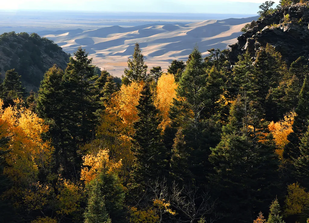
<p>Just above the dunefield are forests of aspen, pine, fir, and spruce. The easiest hiking access to forest in the national park is in Mosca Pass, on the Montville Nature Trail and Mosca Pass Trail. On these trails, you are walking in the footsteps of Pleistocene mammoth hunt…
Medano Creek
~1h 9m drive
<p>Medano Creek is a popular seasonal stream enjoyed by all ages. On this page you'll learn what to expect month-by-month in an average year, and how the rare phenomon 'surge flow' works. You can also link to <a href="https://www.nps.gov/grsa/planyourvisit/medano-creek.htm">cu…
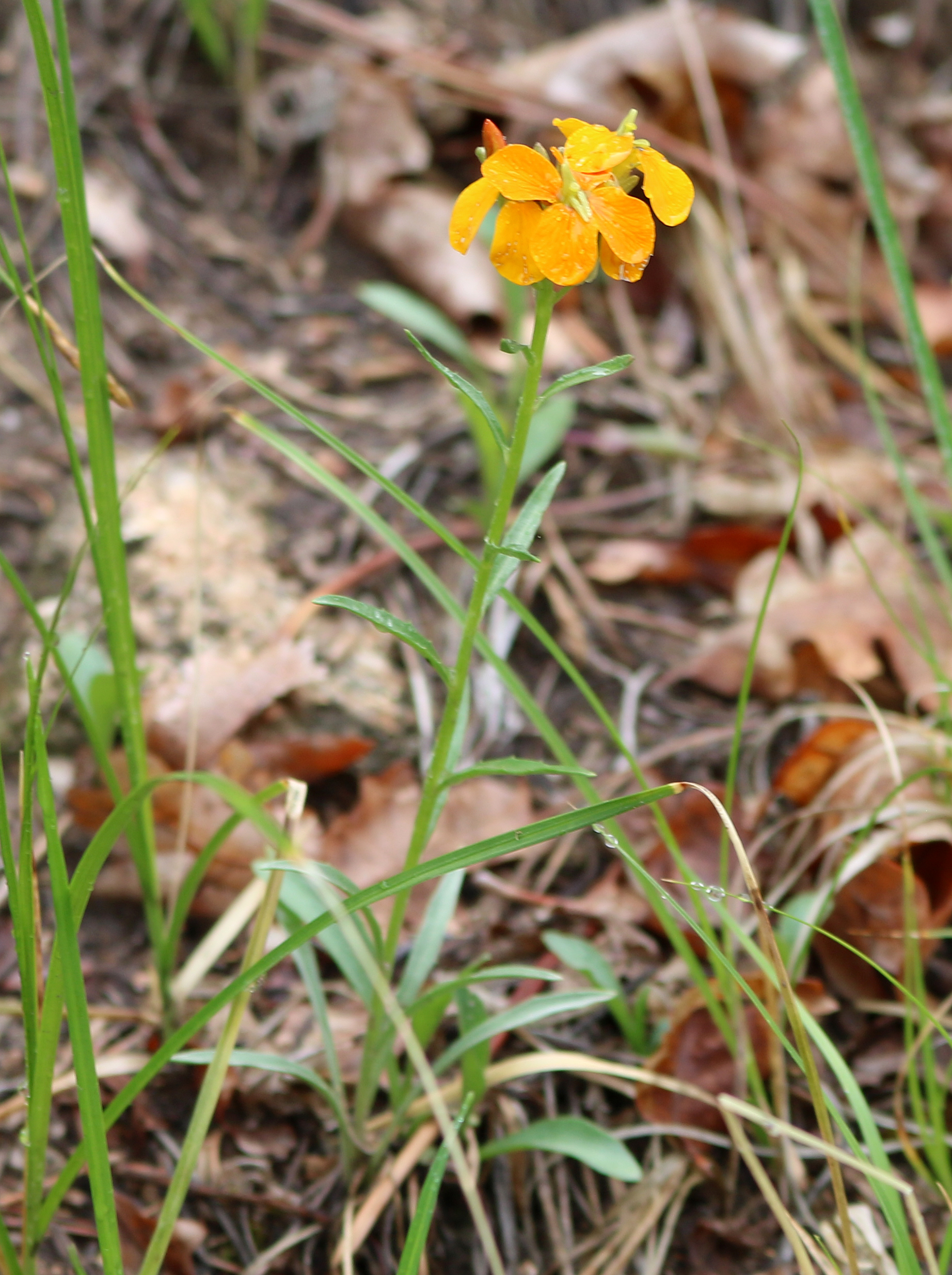
Dikes
~12 min drive
6.6 mi · Hard

West Peak
~14 min drive
5.4 mi · Moderate
Midnight
~1h 3m drive
Easy 2.4-mile trail with minimal elevation gain near Midnight, NM.
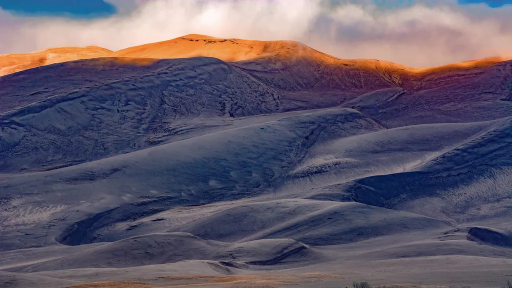
High Dune on First Ridge
~1h 10m drive
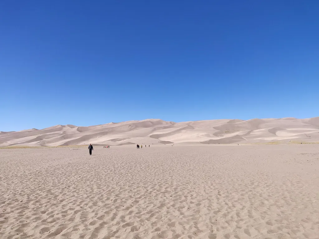
The high dune on the first ridge is neither the highest in elevation nor the tallest in the dunefield, but it looks that way from the main parking lot. This is the most common destination in the dunefield, providing a great view of the entire dunefield. It is about 692 feet (2…

Apishapa
~15 min drive
6.6 mi · Hard

Levi Krier
~14 min drive
9.3 mi · Moderate