Loading trail…

Free — you'll pick up right here.
Save this plan
Sign up to save your own editable copy — you'll pick up right here.
Colorado
9.3 mi
Distance
2,310 ft
Gain
No conditions check on file for this trail yet — always verify current conditions before you go.
Why you'll love it
Levi Krier
AI-suggested draft · review before you go
Levi Krier is a 4.6-mile loop trail located in Colorado near Gunnison, managed by the San Juan National Forest's Gunnison Ranger District. This moderately-sized loop offers a popular option for hikers seeking a round-trip experience without backtracking on the same route. The trail is situated within the San Juan National Forest, a vast public lands area in southwestern Colorado known for alpine scenery and diverse terrain. As a loop configuration, hikers can enjoy varied perspectives of the landscape throughout their journey and return to the trailhead via a different path. The 4.6-mile distance makes this an accessible option for a half-day hiking adventure. The loop format, combined with its mileage, typically appeals to day hikers and those looking for a moderate outing. The San Juan National Forest's Gunnison Ranger District maintains this trail as part of their recreation management responsibilities. This trail provides access to public lands in the San Juan Mountains region, offering hikers an opportunity to explore the natural features of this popular Colorado destination.

West Peak
~0 min drive
5.4 mi · Moderate

Apishapa
~3 min drive
6.6 mi · Hard
Mosca Pass
~1h 4m drive
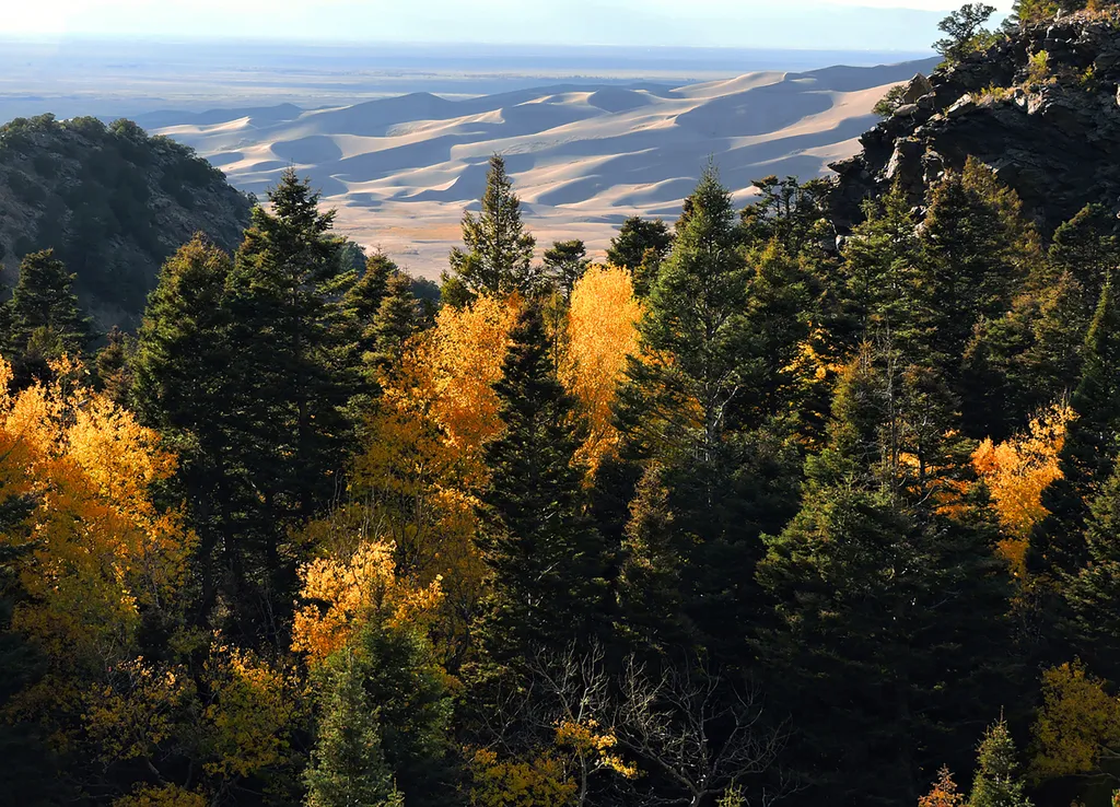
<p>Just above the dunefield are forests of aspen, pine, fir, and spruce. The easiest hiking access to forest in the national park is in Mosca Pass, on the Montville Nature Trail and Mosca Pass Trail. On these trails, you are walking in the footsteps of Pleistocene mammoth hunt…
Medano Creek
~1h 5m drive
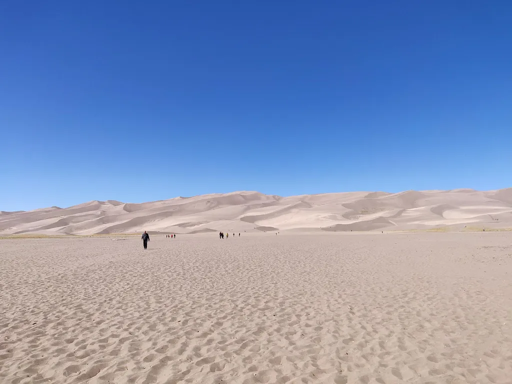
<p>Medano Creek is a popular seasonal stream enjoyed by all ages. On this page you'll learn what to expect month-by-month in an average year, and how the rare phenomon 'surge flow' works. You can also link to <a href="https://www.nps.gov/grsa/planyourvisit/medano-creek.htm">cu…

Schafer
~2 min drive
8.9 mi · Moderate

Wahatoya
~5 min drive
19 mi · Hard

Lake Shore Ada
~1h 14m drive
0.6 mi · Easy
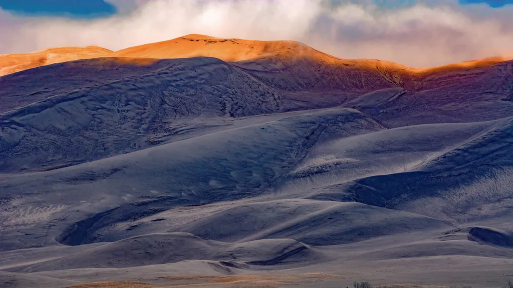
High Dune on First Ridge
~1h 7m drive
The high dune on the first ridge is neither the highest in elevation nor the tallest in the dunefield, but it looks that way from the main parking lot. This is the most common destination in the dunefield, providing a great view of the entire dunefield. It is about 692 feet (2…

Zapata
~54 min drive
3.7 mi · Moderate

Cordova Pass Road
~6 min drive
10 mi · Hard