Cabresto Lake
Campground
Campground · 4.1 mi from the trail
 Photo: Matt Lavin, CC BY-SA 2.0 (via Flickr)
Alert in the area
The Forest Service lists 3 alerts for Carson National Forest.
High-Elevation Snow Conditions
Agency alert covering Carson National Forest · USFS · Carson National Forest
Current Prescribed Fire Activity and Plans
Agency alert covering Carson National Forest · USFS · Carson National Forest
Current Fire Restrictions and Related Prohibitions
Agency alert covering Carson National Forest · USFS · Carson National Forest
As of · Source: USFS · Carson National Forest. Agencies don't list every closure — check before you go.
Bull Creek is a hard hike in the Latir Peak Wilderness, part of the Carson National Forest's Questa Ranger District in northern New Mexico. The trail is an out-and-back route of about 12 miles, with a total elevation gain of 2,500 feet, taking you from a low point of about 10,173 feet to a high of about 12,624 feet. The Forest Service manages the land, and the trail is open from March 15 to November 15. The trail is natural-surface and allows horses, but bikes are not permitted. That makes it a route for riders on foot or horseback rather than on wheels. Heart Lake and Midnight are both within a mile of the trail, and Cabresto Lake is about 4 miles away. For an overnight base, Junebug Campground sits roughly 6 miles off.
Cabresto Lake
Campground
Little Red School House
Museum
Places © OpenStreetMap contributors
More in Arroyo SecoNot on Roamze yet. Their page has how to reach them.
Daily highs and lows, wind and the chance of precipitation at the summit and route start for the next 7 days, from the Open-Meteo model.
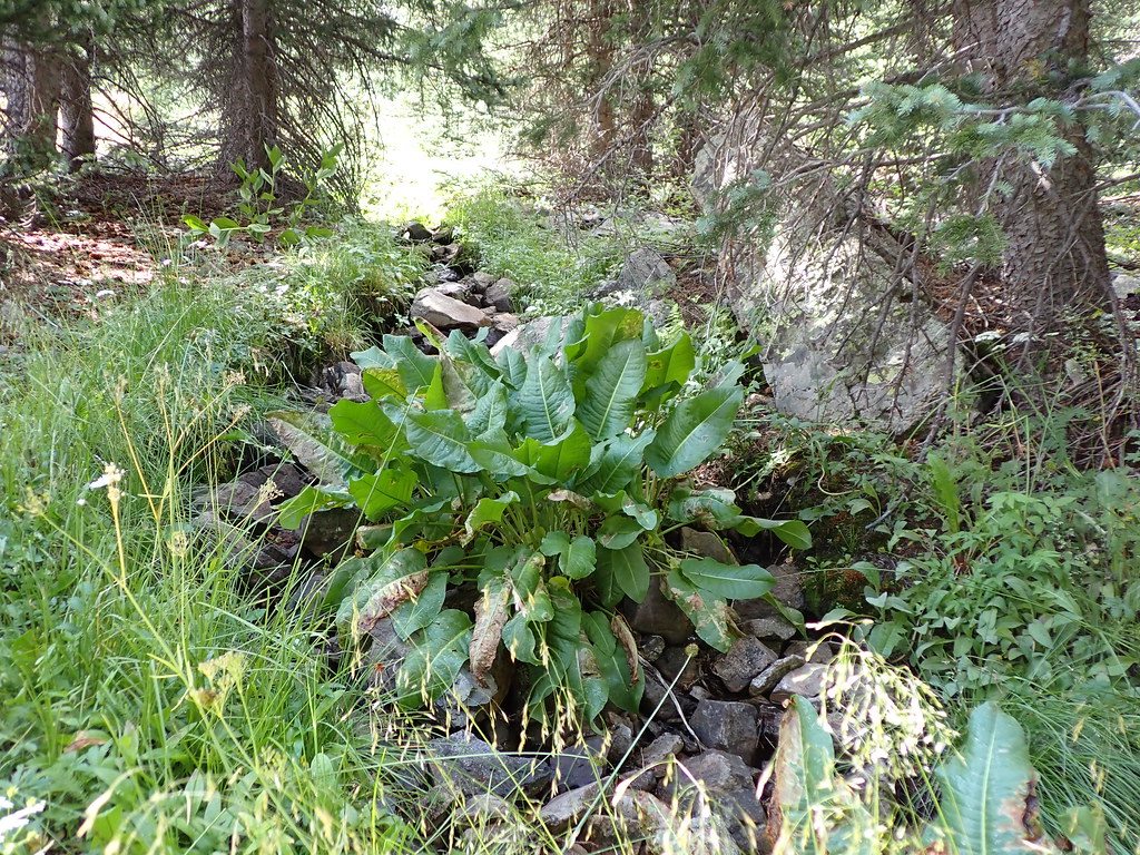 Heart LakeHikingPhoto: Matt Lavin, CC BY-SA 2.0 (via Flickr)0.4 miMidnightHikingPhoto: Matt Lavin, CC BY-SA 2.0 (via Flickr)0.8 mi
 Red RiverCanoeingPhoto: Billy Hathorn at en.wikipedia, CC BY-SA 3.0 (via Wikimedia Commons)8.2 mi
Source: Roamze catalog (indexable pages within 10 miles, PostGIS distance)
Lake ForkHiking · Next doorPhoto: Matt Lavin, CC BY-SA 2.0 (via Flickr)MidnightHiking · ~1 min drivePhoto: Matt Lavin, CC BY-SA 2.0 (via Flickr)Heart LakeHiking · Next doorPhoto: Matt Lavin, CC BY-SA 2.0 (via Flickr)About 11.9 mi round trip.
About 2,500 ft of climbing round trip.
It is rated hard.
2: Latir Peak Trail and Bull Creek.
