Public Lands Access Trail
- 0.9 mi
- round trip
- 872 ft
- climb
- 7,624 ft
- high point
- Out and back
- route
- May–Sep
- best months
Public Lands Access Trail is a moderate out-and-back hike in Stagecoach State Park in Colorado, managed by State Fish and Wildlife. The trail is 1.7 miles long, with a total elevation gain of 872 feet, and it starts at about 7,212 feet, rising to a high point of 7,624 feet. The climb is front-loaded, with the steepest stretch at about 0.37 miles in, where the grade reaches 25 percent. Summer is the most comfortable time to go. Typical averages from a nearby weather station in Yampa, at a similar elevation, show July highs around 79°F with lows near 46°F, while winter highs stay around freezing. The trail makes an easy pairing with other outings in the park. The Great Divide Mountain Bike Route passes just 0.2 miles away, and the Tailwater Anglers Trail is about half a mile off. Pinnacle Loop Trail and Pinnacle Campground are both within about a mile and a half.
Local outfitters
- Rancho Del Rio29 mi away
- Flat Tops Wilderness Guides37 mi away
Not on Roamze yet. Their page has how to reach them.
- great divide mountain bike routeMountain biking0.2 mi
- Tailwater Anglers TrailHiking0.5 mi
 Pinnacle Loop TrailHikingPhoto: Peter Alfred Hess, CC BY 2.0 (via Flickr)1.2 mi
 Pinnacle CampgroundCampingPhoto: Jeffrey Beall, CC BY 4.0 (via Wikimedia Commons)1.3 mi
- Harding Spur CampgroundCamping1.4 mi
- McKindley Group CampgroundCampingPhoto: Jeffrey Beall, CC BY 4.0 (via Wikimedia Commons)1.4 mi
- Yampa RiverCanoeing5 mi
- Oak CreekCanoeing6.4 mi
Source: Roamze catalog (indexable pages within 10 miles, PostGIS distance)
- Pinnacle Loop TrailHiking · ~2 min drivePhoto: Peter Alfred Hess, CC BY 2.0 (via Flickr)
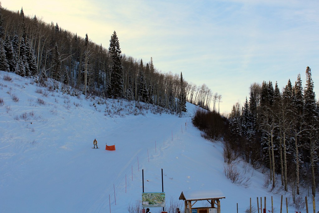 SunshineHiking · ~19 min drivePhoto: blt04, CC BY 2.0 (via Flickr)
- Sarvis CreekHiking · ~3 min drive
- Overlook TrailHiking · ~3 min drivePhoto: Peter Alfred Hess, CC BY 2.0 (via Flickr)
- Pete's Wicked TrailHiking · ~19 min drivePhoto: blt04, CC BY 2.0 (via Flickr)
- Silver CreekHiking · ~11 min drive
 Lakeside TrailHiking · ~4 min drivePhoto: Tony Webster, CC BY 2.0 (via Flickr)
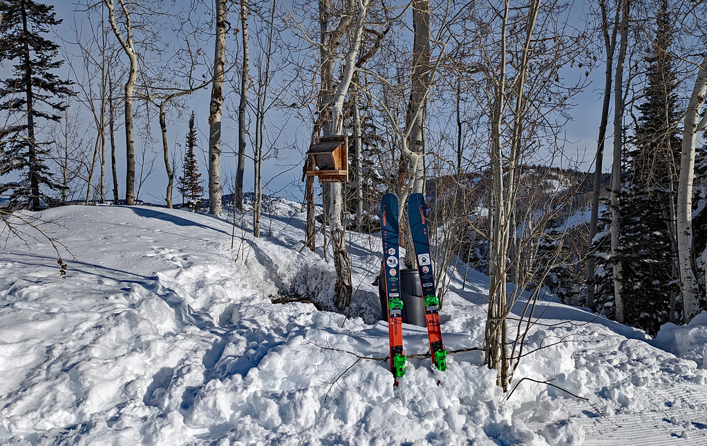 ThunderheadHiking · ~21 min drivePhoto: oc14me, CC BY 2.0 (via Flickr)
- Routt DivideHiking · ~16 min drive
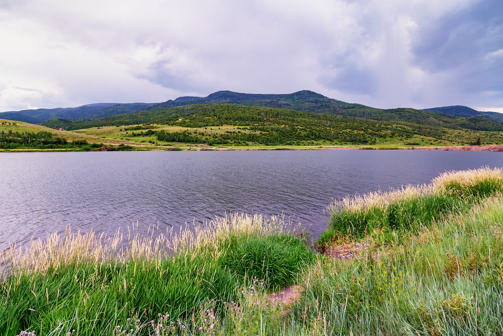 Elk Run TrailHiking · ~4 min drivePhoto: Tony Webster, CC BY 2.0 (via Flickr)
Best time to visit Public Lands Access Trail
Best months: May–September. Best months have typical highs of 55–85 °F, lows of 30 °F or warmer (32 °F where the station doesn't record snow), at most one snowy day and no more than 12 wet days.
Jan
32° / 7°
12 wet
Feb
34° / 9°
11 wet
Mar
43° / 17°
10 wet
Apr
52° / 24°
11 wet
May
62° / 33°
10 wet
Jun
74° / 40°
8 wet
Jul
79° / 46°
10 wet
Aug
77° / 45°
11 wet
Sep
70° / 37°
9 wet
Oct
57° / 27°
8 wet
Nov
42° / 17°
9 wet
Dec
32° / 8°
11 wet
Typical high / low (°F) and days with rain or snow, 1991–2020. Measured at Yampa, CO, 9.7 mi away at 7,857 ft. This station doesn't record snowfall. Source: NOAA NCEI U.S. Climate Normals 1991–2020.
Map and trail data © OpenStreetMap contributors
