Old Cave Basin Trail
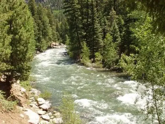
 Photo: squeaks2569, CC BY-SA 2.0 (via Flickr)
- 0.3 mi
- round trip
- 218 ft
- climb
- 11,390 ft
- high point
- Out and back
- route
Is Old Cave Basin Trail open right now?
Closure in the area
There's a closure order in Columbine Ranger District. It doesn't name Old Cave Basin Trail, so check the source for the area it covers (5 listed).
Pagosa Ranger District Road Closure
Agency closure covering Columbine Ranger District · Order 02-13-08-26-17 · USFS · Columbine Ranger District
COLUMBINE RANGER DISTRICT Road Closure
Agency closure covering Columbine Ranger District · Order 02-13-08-26-18 · USFS · Columbine Ranger District
Travel is not advised to the San Juan NF
Agency closure covering San Juan National Forest · USFS · San Juan National Forest
Closures and dangerous conditions on roads, bridges, and trails from flooding
Agency closure covering San Juan National Forest · USFS · San Juan National Forest
Multiple roads and trails damaged by flooding on SJNF
Agency closure covering San Juan National Forest · USFS · San Juan National Forest
As of · Source: USFS · Columbine Ranger District. Agencies don't list every closure — check before you go.
Old Cave Basin Trail is a short, steep out-and-back hike in the Columbine Ranger District of Colorado's San Juan National Forest, managed by the Forest Service. The trail is about 0.34 miles long, with a total climb of 218 feet, and it is rated hard. The route starts at 11,172 feet and reaches 11,390 feet, with the steepest stretch at about 0.16 miles in. The climb is front-loaded, so the hardest part comes early. The trail is short enough to fit into a day of exploring the surrounding area, which has several other trails, climbing spots and campgrounds within a few miles. Nearby, Runlett Park Trail is about 1.2 miles away and Bear Creek Loop Trail about 1.5 miles. Climbers can head to High Times Wall, roughly 1.8 miles off. Vallecito Campground, about 3.1 miles away, offers a place to stay.
Local outfitters
- Crazy Horse Outfitters17 mi away
- Alpen Rose RV Park22 mi away
Not on Roamze yet. Their page has how to reach them.
- Runlett Park TrailHiking1.2 mi
- Bear Creek Loop TrailHiking1.5 mi
- High Times WallRock climbing1.8 mi
- Vertical WallRock climbing1.8 mi
 Vallecito CampgroundCampingPhoto: Recreation.gov (RIDB) / public domain3.1 mi
- Pine River CampgroundCamping3.8 mi
- Vallecito CreekCanoeing4.9 mi
- Vallecito ReservoirLake fishing7.2 mi
Source: Roamze catalog (indexable pages within 10 miles, PostGIS distance)
 Dark Canyon TrailHiking · ~6 min drivePhoto: crazycharizard, CC BY 2.0 (via Flickr)
 Freeman ParkHiking · ~11 min drivePhoto: cogdogblog, CC BY 2.0 (via Flickr)
- Cave BasinHiking · ~3 min drive
- Aztec MountainHiking · ~13 min drive
- DARK CANYONHiking · ~7 min drivePhoto: crazycharizard, CC BY 2.0 (via Flickr)
 Sunlight Lake RouteHiking · ~18 min drivePhoto: kalestews, CC BY 2.0 (via Flickr)
- VallecitoHiking · ~4 min drive
- Mount ValoisHiking · ~13 min drive
 Twin LakesHiking · ~17 min drivePhoto: kalestews, CC BY 2.0 (via Flickr)
- Beri View TrailHiking · ~5 min drive

Map and trail data © OpenStreetMap contributors
