Florida Campground (co)
Campground
Campground · 2.7 mi from the trail
Closure in the area
There's a closure order in Columbine Ranger District. It doesn't name Aztec Mountain, so check the source for the area it covers (5 listed).
Pagosa Ranger District Road Closure
Agency closure covering Columbine Ranger District · Order 02-13-08-26-17 · USFS · Columbine Ranger District
COLUMBINE RANGER DISTRICT Road Closure
Agency closure covering Columbine Ranger District · Order 02-13-08-26-18 · USFS · Columbine Ranger District
Travel is not advised to the San Juan NF
Agency closure covering San Juan National Forest · USFS · San Juan National Forest
Closures and dangerous conditions on roads, bridges, and trails from flooding
Agency closure covering San Juan National Forest · USFS · San Juan National Forest
Multiple roads and trails damaged by flooding on SJNF
Agency closure covering San Juan National Forest · USFS · San Juan National Forest
As of · Source: USFS · Columbine Ranger District. Agencies don't list every closure — check before you go.
Aztec Mountain is a 13,310-foot peak in the Columbine Ranger District of Colorado's San Juan National Forest, managed by the Forest Service. The route to the summit is an out-and-back that covers about 23.9 miles round trip with roughly 6,140 feet of climbing. The mapped trail ends about 0.6 miles and 854 feet short of the top, and the final stretch is off-trail with no mapped path, so route-finding is needed. The climb is rated expert, and the one-way elevation gain is about 4,090 feet. The trailhead is the starting point, and the mapped route ends before the summit. Mount Valois sits just 0.1 mile away, and Stump Lake is about 0.6 mile off. Florida Campground and the East Side climbing area are both about 2.7 miles away.
Florida Campground (co)
Campground
 If it rainsJeffrey Beall, CC BY 4.0 · Wikimedia Commons
Places © OpenStreetMap contributors · Photos: Jeffrey Beall, CC BY 4.0 (commons)
More in DurangoNot on Roamze yet. Their page has how to reach them.
Daily highs and lows, wind and the chance of precipitation at the summit and route start for the next 7 days, from the Open-Meteo model.
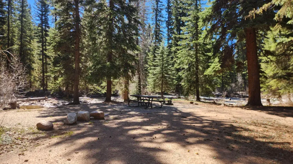 Florida Campground (co)CampingPhoto: Recreation.gov (RIDB) / public domain2.7 mi
Source: Roamze catalog (indexable pages within 10 miles, PostGIS distance)
 Freeman ParkHiking · ~9 min drivePhoto: cogdogblog, CC BY 2.0 (via Flickr)
 Dark Canyon TrailHiking · ~9 min drivePhoto: crazycharizard, CC BY 2.0 (via Flickr)
 Stevens CreekHiking · ~18 min drivePhoto: flamouroux, CC BY-SA 2.0 (via Flickr)
 Old Cave Basin TrailHiking · ~13 min drivePhoto: squeaks2569, CC BY-SA 2.0 (via Flickr)DARK CANYONHiking · ~10 min drivePhoto: crazycharizard, CC BY 2.0 (via Flickr)
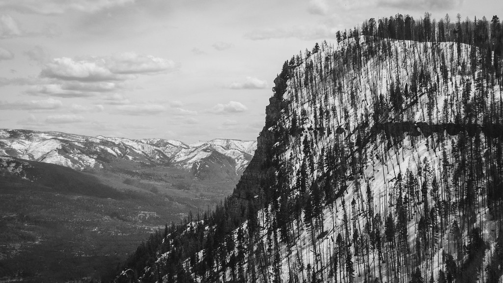 Goulding CreekHiking · ~18 min drivePhoto: Daniel Weber, Public Domain Dedication (CC0) (via Flickr)
 Chris ParkHiking · ~17 min drivePhoto: Frans-Banja Mulder, CC BY 3.0 (via Wikimedia Commons)
 Twin LakesHiking · ~16 min drivePhoto: kalestews, CC BY 2.0 (via Flickr)
 Lupine Trace TrailHiking · ~17 min drivePhoto: markbyzewski, CC BY 2.0 (via Flickr)
About 23.9 mi round trip.
About 6,140 ft of climbing round trip.
It is rated expert.
© openrouteservice.org by HeiGIT | Map data © OpenStreetMap contributors

