Twin Lakes
 Photo: kalestews, CC BY 2.0 (via Flickr)
- 2.5 mi
- round trip
- 1,370 ft
- climb
- 12,562 ft
- high point
- Out and back
- route
Is Twin Lakes open right now?
Closure in the area
There's a closure order in Columbine Ranger District. It doesn't name Twin Lakes, so check the source for the area it covers (5 listed).
Pagosa Ranger District Road Closure
Agency closure covering Columbine Ranger District · Order 02-13-08-26-17 · USFS · Columbine Ranger District
COLUMBINE RANGER DISTRICT Road Closure
Agency closure covering Columbine Ranger District · Order 02-13-08-26-18 · USFS · Columbine Ranger District
Travel is not advised to the San Juan NF
Agency closure covering San Juan National Forest · USFS · San Juan National Forest
Closures and dangerous conditions on roads, bridges, and trails from flooding
Agency closure covering San Juan National Forest · USFS · San Juan National Forest
Multiple roads and trails damaged by flooding on SJNF
Agency closure covering San Juan National Forest · USFS · San Juan National Forest
As of · Source: USFS · Columbine Ranger District. Agencies don't list every closure — check before you go.
Twin Lakes is a 2.5-mile out-and-back hike in the Weminuche Wilderness, part of the Columbine Ranger District of the San Juan National Forest in Colorado. The trail is rated easy and rises about 1,370 feet from its low point of 11,192 feet to a high of 12,562 feet. The Forest Service manages the land, and the trail is on natural surface. Horses are allowed, but bikes are not. The hike sits within wilderness, so plan around that setting. The nearby Needle climbing area and the Sunlight Lake Route lie within about 3 miles, and Vallecito Campground is roughly 10 miles away.
Local outfitters
- Alpen Rose RV Park22 mi away
- Grizzly RT RV Park23 mi away
Not on Roamze yet. Their page has how to reach them.
- The NeedlesRock climbing2.1 mi
 Sunlight Lake RouteHikingPhoto: kalestews, CC BY 2.0 (via Flickr)2.6 mi
- Leviathan Lake RouteHiking3.2 mi
 NeedleHikingPhoto: markbyzewski, CC BY 2.0 (via Flickr)4.7 mi
- The GrenadiersRock climbing5.2 mi
- Vallecito CreekCanoeing5.3 mi
- Elk CreekCanoeing7.6 mi
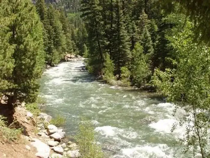 Vallecito CampgroundCampingPhoto: Recreation.gov (RIDB) / public domain9.9 mi
Source: Roamze catalog (indexable pages within 10 miles, PostGIS distance)
- Sunlight Lake RouteHiking · ~4 min drivePhoto: kalestews, CC BY 2.0 (via Flickr)
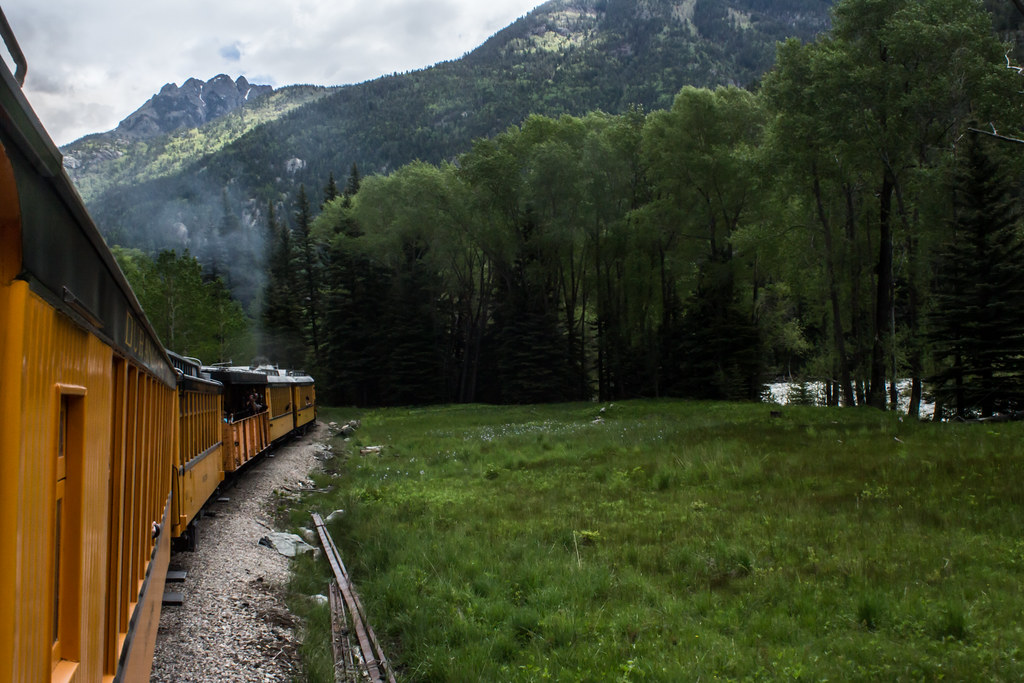 Windom PeakHiking · ~8 min drivePhoto: markbyzewski, CC BY 2.0 (via Flickr)
 Snowdon PeakHiking · ~16 min drivePhoto: mjhbower, CC BY-SA 2.0 (via Flickr)
- NeedleHiking · ~8 min drivePhoto: markbyzewski, CC BY 2.0 (via Flickr)
 Andrews Lake FishingHiking · ~17 min drivePhoto: markbyzewski, CC BY 2.0 (via Flickr)
 Mount EolusHiking · ~8 min drivePhoto: markbyzewski, CC BY 2.0 (via Flickr)
 Molas Trail SystemHiking · ~17 min drivePhoto: daveynin, CC BY 2.0 (via Flickr)
- Johnson CreekHiking · ~8 min drive
 Old Cave Basin TrailHiking · ~17 min drivePhoto: squeaks2569, CC BY-SA 2.0 (via Flickr)
- North EolusHiking · ~8 min drivePhoto: markbyzewski, CC BY 2.0 (via Flickr)
