Molas Lake Campground
Campground
Campground · 9.5 mi from the trail
 Photo: kalestews, CC BY 2.0 (via Flickr)
Closure in the area
There's a closure order in Columbine Ranger District. It doesn't name Sunlight Lake Route, so check the source for the area it covers (5 listed).
Pagosa Ranger District Road Closure
Agency closure covering Columbine Ranger District · Order 02-13-08-26-17 · USFS · Columbine Ranger District
COLUMBINE RANGER DISTRICT Road Closure
Agency closure covering Columbine Ranger District · Order 02-13-08-26-18 · USFS · Columbine Ranger District
Travel is not advised to the San Juan NF
Agency closure covering San Juan National Forest · USFS · San Juan National Forest
Closures and dangerous conditions on roads, bridges, and trails from flooding
Agency closure covering San Juan National Forest · USFS · San Juan National Forest
Multiple roads and trails damaged by flooding on SJNF
Agency closure covering San Juan National Forest · USFS · San Juan National Forest
As of · Source: USFS · Columbine Ranger District. Agencies don't list every closure — check before you go.
Sunlight Lake Route is a short, easy out-and-back hike in Colorado's Weminuche Wilderness, within the Columbine Ranger District of the San Juan National Forest. The Forest Service manages the land, and the route starts at about 11,880 feet, rising to a high point of 12,063 feet before returning to the trailhead. The climb is rolling, with a total gain of 669 feet over a round trip of about 0.66 miles, and the steepest stretch comes early, around 0.13 miles in, with a grade of about 13%. The route is a quick outing, estimated to take about half an hour. It works well as a short addition to a day spent exploring the surrounding wilderness. Nearby, Leviathan Lake Route lies about 0.8 miles away, and The Needles climbing area is about 1.1 miles off. Twin Lakes and Vallecito are both within about 3 miles.
Molas Lake Campground
Campground
The Bent Elbow Restaurant
American restaurant
Smuggler Union Tramhouse
Attraction
Places © OpenStreetMap contributors, Places © Overture Maps Foundation
More in TellurideNot on Roamze yet. Their page has how to reach them.
 Twin LakesHikingPhoto: kalestews, CC BY 2.0 (via Flickr)2.6 mi
Source: Roamze catalog (indexable pages within 10 miles, PostGIS distance)
Twin LakesHiking · ~4 min drivePhoto: kalestews, CC BY 2.0 (via Flickr)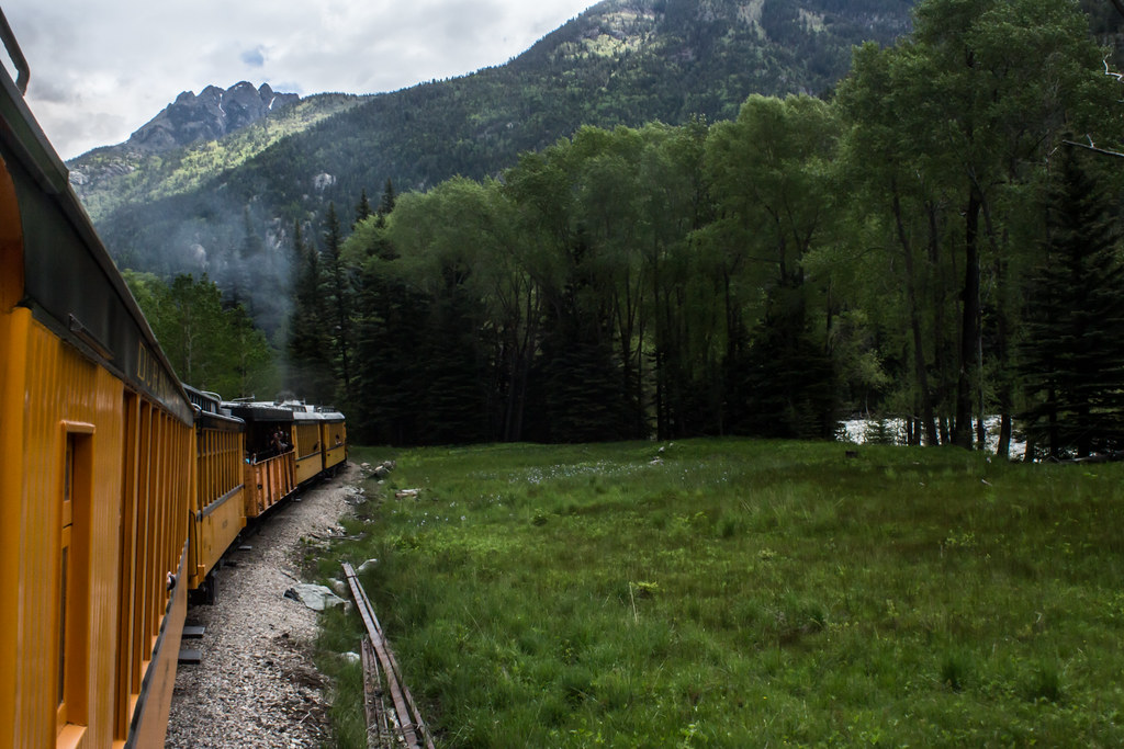 Windom PeakHiking · ~11 min drivePhoto: markbyzewski, CC BY 2.0 (via Flickr)
 Ute LakeHiking · ~13 min drivePhoto: dsearls, CC BY 2.0 (via Flickr)
 Molas Lake TrailHiking · ~16 min drivePhoto: Frans-Banja Mulder, CC BY 3.0 (via Wikimedia Commons)
 Snowdon PeakHiking · ~16 min drivePhoto: mjhbower, CC BY-SA 2.0 (via Flickr)
 Sunlight PeakHiking · ~11 min drivePhoto: markbyzewski, CC BY 2.0 (via Flickr)
 NeedleHiking · ~11 min drivePhoto: markbyzewski, CC BY 2.0 (via Flickr)Andrews Lake Horse TrailHiking · ~17 min drivePhoto: mjhbower, CC BY-SA 2.0 (via Flickr)
 Molas Trail SystemHiking · ~16 min drivePhoto: daveynin, CC BY 2.0 (via Flickr)North EolusHiking · ~11 min drivePhoto: markbyzewski, CC BY 2.0 (via Flickr)
Map and trail data © OpenStreetMap contributors
