North Trail Bonus
- 0.7 mi
- round trip
- 802 ft
- climb
- 8,271 ft
- high point
- Out and back
- route
- Jun–Sep
- best months
Is North Trail Bonus open right now?
Alert in the area
The Forest Service lists 6 alerts for White River National Forest.
FSR 286, Radical Hill, is closed due to washouts and unsafe conditions
Agency alert covering White River National Forest · USFS · White River National Forest
Limited parking at Snowmass Creek Trailhead
Agency alert covering White River National Forest · USFS · White River National Forest
Grizzly Creek Trail Closure
Agency alert covering White River National Forest · Order 2026-02 · USFS · White River National Forest
Ruedi Marina Day Use area Dump Station is CLOSED
Agency alert covering White River National Forest · USFS · White River National Forest
Asbestos safety closure - Camp Hale
Agency alert covering White River National Forest · USFS · White River National Forest
As of · Source: USFS · White River National Forest. Agencies don't list every closure — check before you go.
North Trail Bonus is a short, easy hike in the Holy Cross Ranger District of White River National Forest in Colorado, managed by the Forest Service. The trail is about 0.7 miles long and is an out-and-back route that starts at a high point of 8,271 feet and ends at a low of 7,900 feet, with a total climb of 802 feet and a total descent of 802 feet. The steepest part of the trail comes early, at about 0.2 miles in, where the grade reaches 21%. Summer is the most comfortable time to go. Typical averages from a nearby weather station in Vail show July highs around 77°F with lows near 42°F, while winter highs stay in the 20s. The North Vail Trail and the Davos hike both lie about 0.2 miles away, and the Cemetery Block climbing area is about 0.4 miles off. Grouse Lake, a fishing spot, is about 1.9 miles away.
Go with a guide
- Mineral Belt Trail Guided WalkNexPM AI · $25 per person · 27 mi away
- Rancho Del Rio21 mi away
- North Vail TrailMountain biking0.2 mi
- DavosHiking0.2 mi
- Cemetery BlockRock climbing0.4 mi
- Cemetery BlocksRock climbing0.4 mi
- Grouse LakeLake fishing1.9 mi
- Beaver Creek Ski ResortRiver fishing4.7 mi
- Piney Designated Dispersed SiteCamping6.6 mi
- Halfmoon CampgroundCamping8.4 mi
Source: Roamze catalog (indexable pages within 10 miles, PostGIS distance)
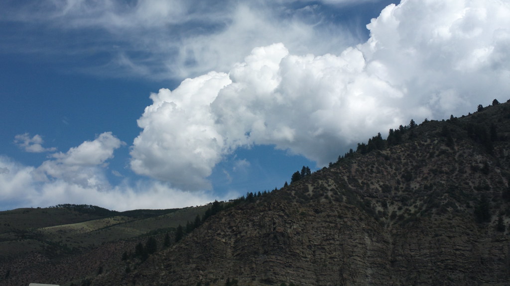 Davos TrailHiking · ~2 min drivePhoto: roland, CC BY 2.0 (via Flickr)
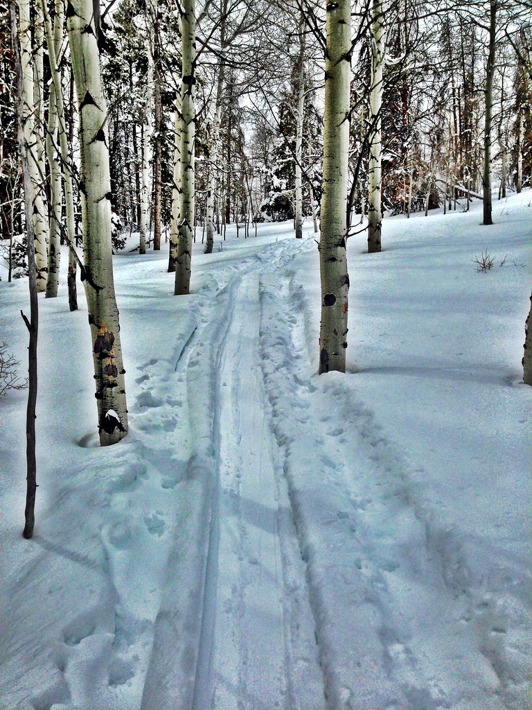 Grouse LakeHiking · ~5 min drivePhoto: jrm353, CC BY 2.0 (via Flickr)
- Hay MeadowHiking · ~3 min drivePhoto: jrm353, CC BY 2.0 (via Flickr)
- North Trail ConnectorHiking · ~2 min drive
 Meadow MountainHiking · ~5 min drivePhoto: wka, CC BY-SA 2.0 (via Flickr)
- Whiskey CreekHiking · ~5 min drivePhoto: wka, CC BY-SA 2.0 (via Flickr)
- Half NelsonHiking · ~3 min drive
- Cougar RidgeHiking · ~4 min drivePhoto: jrm353, CC BY 2.0 (via Flickr)
 Buck CreekHiking · ~8 min drivePhoto: aperturismo, CC BY-SA 2.0 (via Flickr)
- Stone Creek DitchHiking · ~5 min drive
Best time to visit North Trail Bonus
Best months: June–September. Best months have typical highs of 55–85 °F, lows of 30 °F or warmer (32 °F where the station doesn't record snow), at most one snowy day and no more than 12 wet days.
Jan
29° / 7°
12 wet
Feb
33° / 9°
11 wet
Mar
42° / 17°
10 wet
Apr
49° / 24°
9 wet
May
60° / 31°
9 wet
Jun
71° / 36°
8 wet
Jul
77° / 42°
10 wet
Aug
74° / 41°
11 wet
Sep
67° / 34°
9 wet
Oct
54° / 25°
7 wet
Nov
38° / 15°
9 wet
Dec
28° / 7°
11 wet
Typical high / low (°F) and days with rain or snow, 1991–2020. Measured at Vail, CO, 4.4 mi away at 8,304 ft. This station doesn't record snowfall. Source: NOAA NCEI U.S. Climate Normals 1991–2020.

Map and trail data © OpenStreetMap contributors
