Tigiwon Community House
Campground
Campground · 4.0 mi from the trail
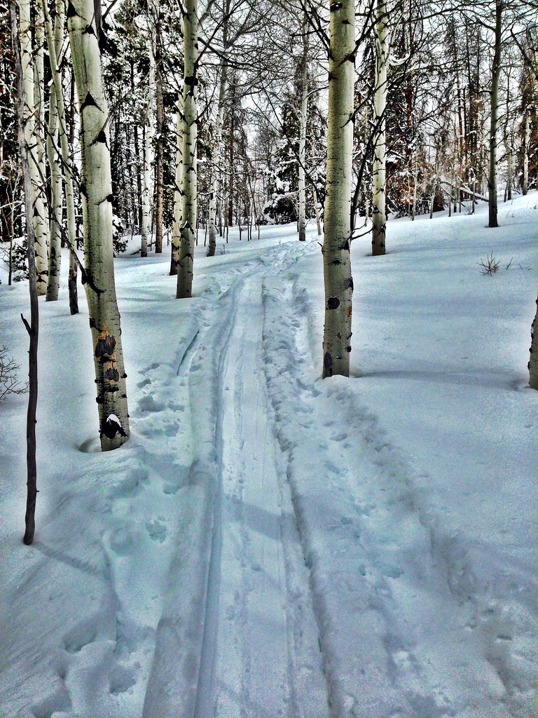 Photo: jrm353, CC BY 2.0 (via Flickr)
Alert in the area
The Forest Service lists 6 alerts for White River National Forest.
FSR 286, Radical Hill, is closed due to washouts and unsafe conditions
Agency alert covering White River National Forest · USFS · White River National Forest
Limited parking at Snowmass Creek Trailhead
Agency alert covering White River National Forest · USFS · White River National Forest
Grizzly Creek Trail Closure
Agency alert covering White River National Forest · Order 2026-02 · USFS · White River National Forest
Ruedi Marina Day Use area Dump Station is CLOSED
Agency alert covering White River National Forest · USFS · White River National Forest
Asbestos safety closure - Camp Hale
Agency alert covering White River National Forest · USFS · White River National Forest
As of · Source: USFS · White River National Forest. Agencies don't list every closure — check before you go.
Grouse Lake is a hard hike in Colorado's White River National Forest, within the Holy Cross Ranger District. The trail is an out-and-back that climbs from a low point of 8,156 feet to a high of 10,691 feet, with a total elevation gain of 3,252 feet over a route of about 7.9 miles. The Forest Service manages the land, and the trail is natural-surfaced and open to horses. Summer is the most comfortable time to go. Typical averages from the nearby Climax weather station, which sits about 650 feet higher than the high point, show July highs around 67°F with lows near 40°F and no snow days. Winter is harsh, with highs in the mid-20s and snow on about 15 days a month from December through February. The Grouse Creek Trailhead is the parking for this route, and the trail is open year-round. The closest neighbors are the Full Nelson and Hay Meadow mountain biking trails, each about half a mile away. Climbers can find the Cemetery Block area about 2.9 miles off, and Halfmoon Campground is about 5.3 miles away.
Tigiwon Community House
Campground
 If it rainsCraig Talbert, CC BY 3.0 · Wikimedia Commons
Places © OpenStreetMap contributors · Photos: Craig Talbert, CC BY 3.0 (commons)
More in LeadvilleNo month here meets our mild-weather rule. Best months have typical highs of 55–85 °F, lows of 30 °F or warmer (32 °F where the station doesn't record snow), at most one snowy day and no more than 12 wet days.
Jan
27° / 3°
15 wet · 15 snow
Feb
29° / 3°
15 wet · 15 snow
Mar
35° / 8°
14 wet · 14 snow
Apr
40° / 15°
13 wet · 13 snow
May
49° / 25°
10 wet · 8 snow
Jun
61° / 34°
8 wet · 2 snow
Jul
67° / 40°
13 wet
Aug
64° / 39°
15 wet
Sep
58° / 32°
11 wet · 2 snow
Oct
47° / 21°
9 wet · 7 snow
Nov
35° / 11°
12 wet · 12 snow
Dec
27° / 3°
15 wet · 15 snow
Typical high / low (°F) and days with rain or snow, 1991–2020. Measured at Climax, CO, 20 mi away at 11,344 ft. The station sits about 700 ft higher than this place, so expect it a little warmer here. Source: NOAA NCEI U.S. Climate Normals 1991–2020.
Photo: jrm353, CC BY 2.0 (via Flickr)Hay Meadow
~2 min drive
5.70-mile out-and-back trail in Colorado's White River National Forest with 1,362 ft gain.
Photo: jrm353, CC BY 2.0 (via Flickr)Cougar Ridge
~3 min drive
10.56-mile out-and-back trail in Colorado with 2,154 ft elevation gain.
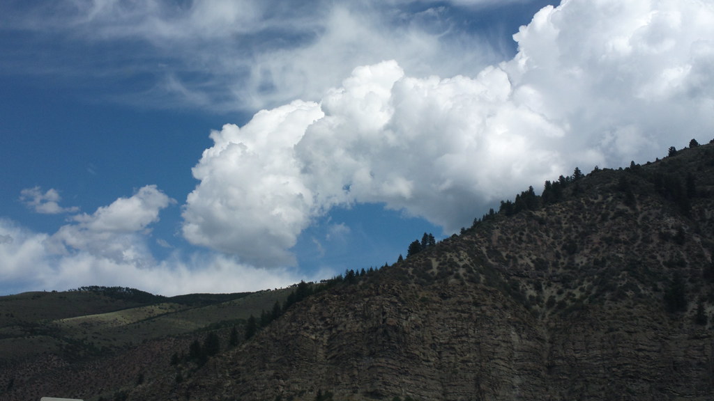 Photo: roland, CC BY 2.0 (via Flickr)
Davos Trail
~5 min drive
Davos Trail is a 1.98-mile trail in Colorado with 400 feet of elevation gain.
HIKE
Mount of the Holy Cross
~9 min drive
10.14-mile out-and-back hike in Colorado's White River National Forest with 3,902 ft elevation gain.
 Photo: wka, CC BY-SA 2.0 (via Flickr)
Whiskey Creek
~3 min drive
5.57-mile out-and-back trail in Colorado managed by White River National Forest.
 Photo: kalestews, CC BY 2.0 (via Flickr)
Notch Mountain
~10 min drive
3.08-mile out-and-back trail in Colorado with 2,361 ft gain/loss and 12,993 ft max elevation.
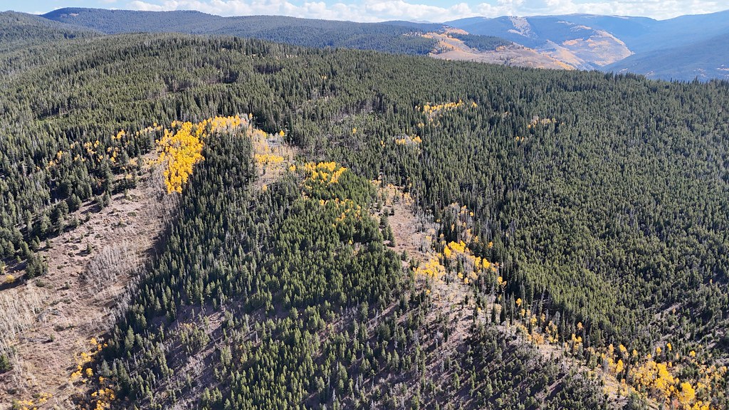 Photo: supercraigtalbert, CC BY 2.0 (via Flickr)
Trail near Iron Mountain
~8 min drive
1.66-mile out-and-back trail near Iron Mountain, Colorado with 276 ft elevation gain.
HIKE
Full Nelson
~2 min drive
3.91-mile out-and-back trail in Colorado's White River National Forest with 191 ft of elevation gain.
Photo: wka, CC BY-SA 2.0 (via Flickr)Meadow Mountain
~3 min drive
10.82-mile out-and-back trail in Colorado with 423 ft gain and 9,792 ft max elevation.
HIKE
Grouse Mountain
~8 min drive
6.00-mile out-and-back trail in Colorado at 11,828 ft elevation.

