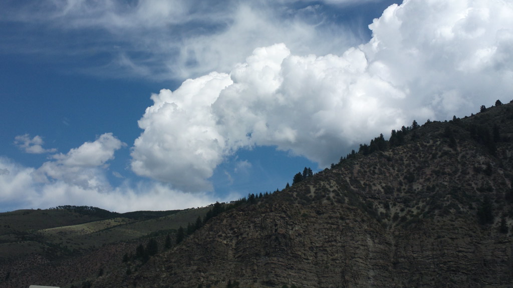
Cemetery Block
Cemetery Block in Colorado has 8 bouldering routes across 5 grades.
- 8 routes
- V0 – V5
- Bouldering
Is Cemetery Block open right now?
Closure in the area
There's a closure order in White River National Forest. It doesn't name Cemetery Block, so check the source for the area it covers (2 listed).
Green Mountain Reservoir and Ruedi boat ramps closed for the season
Agency closure covering White River National Forest · USFS · White River National Forest
Eagle-Thomasville (400), Burnt Mtn (506), plus NFSR 414 and 416 openings delayed to June 16
Agency closure covering White River National Forest · USFS · White River National Forest
FSR 314, Crystal River Road, open but be prepared for delays
Agency alert covering White River National Forest · USFS · White River National Forest
FSR 286, Radical Hill, is closed due to washouts and unsafe conditions
Agency alert covering White River National Forest · USFS · White River National Forest
White River National Forest lifting fire restrictions on Friday Sept. 25
Agency alert covering White River National Forest · Order 2026 · USFS · White River National Forest
As of · Source: USFS · White River National Forest. Agencies don't list every closure — check before you go.
Best time to visit Cemetery Block
Best months: June–September. Best months have typical highs of 55–85 °F, lows of 30 °F or warmer (32 °F where the station doesn't record snow), at most one snowy day and no more than 12 wet days.
Jan
29° / 7°
12 wet
Feb
33° / 9°
11 wet
Mar
42° / 17°
10 wet
Apr
49° / 24°
9 wet
May
60° / 31°
9 wet
Jun
71° / 36°
8 wet
Jul
77° / 42°
10 wet
Aug
74° / 41°
11 wet
Sep
67° / 34°
9 wet
Oct
54° / 25°
7 wet
Nov
38° / 15°
9 wet
Dec
28° / 7°
11 wet
Typical high / low (°F) and days with rain or snow, 1991–2020. Measured at Vail, CO, 4.7 mi away at 8,304 ft. This station doesn't record snowfall. Source: NOAA NCEI U.S. Climate Normals 1991–2020.
Cemetery Block is a climbing area in the Holy Cross Ranger District of White River National Forest, within the Vail Deer Underpass State Wildlife Area in Colorado. The land is managed by State Fish and Wildlife, and the area sits about 0.1 mile from the Cemetery Blocks climbing area and 0.2 mile from the Misc Bouldering climbing area. Summer is the most comfortable time to visit. Typical averages from the nearby Vail weather station show July highs around 77°F with lows near 42°F, while winter highs stay in the 20s. The Davos mountain biking area is about 0.3 mile away, and the North Trail Bonus hike is about 0.4 mile away. Grouse Lake, a fishing spot, is about 1.7 miles off, and Halfmoon Campground is about 8.1 miles away.
Keep exploring — more climbs worth the drive
 Photo: KimonBerlin, CC BY-SA 2.0 (via Flickr)
Roof Rock
~16 min drive
Roof Rock in Colorado has 7 climbing routes across 5 grades, offering sport and trad options.
Photo: KimonBerlin, CC BY-SA 2.0 (via Flickr)Hornsilver
~17 min drive
Hornsilver in Colorado has 4 routes with sport and trad options.
 Photo: toastal_OLD, CC BY 2.0 (via Flickr)
Booth Creek Boulders
~12 min drive
Booth Creek Boulders in Colorado has 2 bouldering routes.
Photo: KimonBerlin, CC BY-SA 2.0 (via Flickr)Upper Tier Right
~17 min drive
Upper Tier Right in Colorado has 6 mixed and sport climbing routes across 5 difficulty grades.
Misc Bouldering
~0 min drive
3 bouldering routes in Colorado, 2 difficulty grades, bouldering pads.
Eagle/Vail/Minturn/Red Cliff
~11 min drive
Eagle/Vail/Minturn/Red Cliff in Colorado has 8 climbing routes with 8 difficulty grades, offering bouldering pads and sport styles.
The Anti-Gravity Wall
~15 min drive
Anti-Gravity Wall is a 15-route bouldering crag in Colorado with routes spanning 7 difficulty grades.
The Minturn Mile Boulder
~15 min drive
Minturn Mile Boulder is a bouldering area in Colorado with 9 routes.
The Mint Boulder
~15 min drive
Mint Boulder in Colorado has 5 bouldering routes across 4 grades.
The Whatchamacallit Boulder
~15 min drive
Whatchamacallit Boulder, The is a bouldering crag in Colorado with 9 routes.