Davos
- 5.7 mi
- round trip
- 749 ft
- climb
- 8,911 ft
- high point
- Out and back
- route
- Jun–Sep
- best months
Is Davos open right now?
Alert in the area
The Forest Service lists 6 alerts for White River National Forest.
FSR 286, Radical Hill, is closed due to washouts and unsafe conditions
Agency alert covering White River National Forest · USFS · White River National Forest
Limited parking at Snowmass Creek Trailhead
Agency alert covering White River National Forest · USFS · White River National Forest
Grizzly Creek Trail Closure
Agency alert covering White River National Forest · Order 2026-02 · USFS · White River National Forest
Ruedi Marina Day Use area Dump Station is CLOSED
Agency alert covering White River National Forest · USFS · White River National Forest
Asbestos safety closure - Camp Hale
Agency alert covering White River National Forest · USFS · White River National Forest
As of · Source: USFS · White River National Forest. Agencies don't list every closure — check before you go.
Davos is a 5.7-mile out-and-back hike on the Forest Service's natural-surface trail in the Holy Cross Ranger District of White River National Forest, in Colorado. The route rises 749 feet from a low of 8,181 feet to a high of 8,911 feet. The trail is accessible and allows horses and bikes, which makes it a practical choice for riders and riders with horses. Summer is the most comfortable time to go. Typical July averages at the nearby Vail weather station run to a high of 77°F and a low of 42°F, and the station sits a few hundred feet lower than the trail's high point, so temperatures on top run a bit cooler. Winter is harsh, with typical January highs around 29°F and lows near 7°F. The trailhead is at North Trail (Davos) Trailhead, and the route stays open year round. The North Vail Trail and the North Trail Bonus mountain biking routes start about 0.1 mile away. Cemetery Block is a climbing area 0.6 mile off, and Grouse Lake, a fishing lake, is about 2 miles away.
Go with a guide
- Mineral Belt Trail Guided WalkRoamze · $25 per person · 27 mi away
- Rancho Del Rio21 mi away
Best time to go · Jun–Sep
Best time to visit Davos
Best months: June–September. Best months have typical highs of 55–85 °F, lows of 30 °F or warmer (32 °F where the station doesn't record snow), at most one snowy day and no more than 12 wet days.
Jan
29° / 7°
12 wet
Feb
33° / 9°
11 wet
Mar
42° / 17°
10 wet
Apr
49° / 24°
9 wet
May
60° / 31°
9 wet
Jun
71° / 36°
8 wet
Jul
77° / 42°
10 wet
Aug
74° / 41°
11 wet
Sep
67° / 34°
9 wet
Oct
54° / 25°
7 wet
Nov
38° / 15°
9 wet
Dec
28° / 7°
11 wet
Typical high / low (°F) and days with rain or snow, 1991–2020. Measured at Vail, CO, 4.2 mi away at 8,304 ft. The station sits about 600 ft lower than this place, so expect it a little cooler here. This station doesn't record snowfall. Source: NOAA NCEI U.S. Climate Normals 1991–2020.
Keep exploring — more trails worth the drive
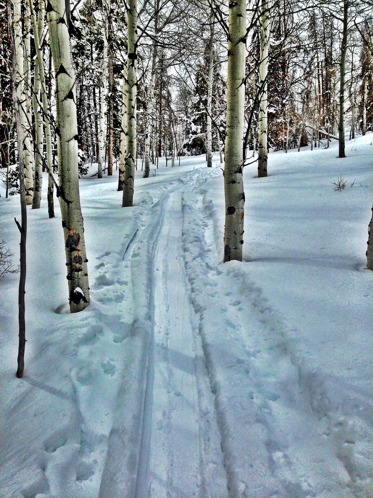 Photo: jrm353, CC BY 2.0 (via Flickr)
Hay Meadow
~4 min drive
5.70-mile out-and-back trail in Colorado's White River National Forest with 1,362 ft gain.
Photo: jrm353, CC BY 2.0 (via Flickr)Cougar Ridge
~4 min drive
10.56-mile out-and-back trail in Colorado with 2,154 ft elevation gain.
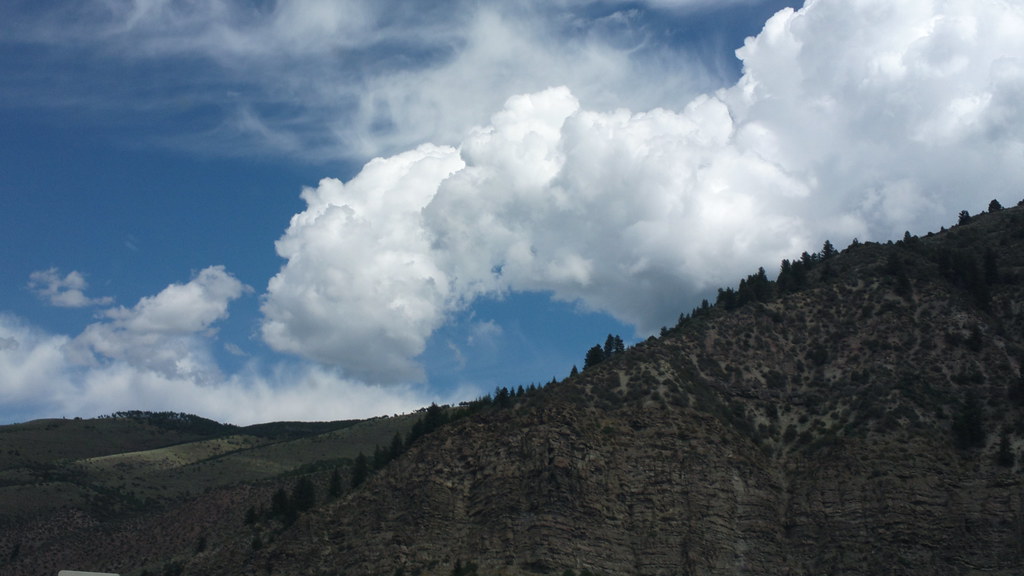 Photo: roland, CC BY 2.0 (via Flickr)
Davos Trail
~2 min drive
Davos Trail is a 1.98-mile trail in Colorado with 400 feet of elevation gain.
 Photo: wka, CC BY-SA 2.0 (via Flickr)
Whiskey Creek
~6 min drive
5.57-mile out-and-back trail in Colorado managed by White River National Forest.
Photo: jrm353, CC BY 2.0 (via Flickr)Grouse Lake
~6 min drive
7.85-mile out-and-back trail in Colorado with 3,252 ft elevation gain.
HIKE
North Trail Bonus
Next door
1.36-mile out-and-back trail in Colorado with 802 ft elevation gain/loss
 Photo: aperturismo, CC BY-SA 2.0 (via Flickr)
Buck Creek
~8 min drive
6.91-mile out-and-back trail in Colorado's White River National Forest with 1,947 ft of elevation gain.
Photo: wka, CC BY-SA 2.0 (via Flickr)Meadow Mountain
~6 min drive
10.82-mile out-and-back trail in Colorado with 423 ft gain and 9,792 ft max elevation.
HIKE
North Trail Connector
~2 min drive
1.1-mile out-and-back trail in Colorado with 428 ft elevation gain.
HIKE
NORTH VAIL TRAIL
Next door
2.54-mile out-and-back trail in Colorado with 1,865 ft elevation gain and loss.

