

Alpine Lodge at Red Feather Lakes
Hiking business nearby (~25 mi away) — hasn't claimed their Roamze page yet
Free — you'll pick up right here.
Watch this trail
Sign up to watch it — saving subscribes you to gate, closure and report changes.
Colorado
3.1 mi
Distance
259 ft
Gain
We won't guess. Here is exactly what we do and don't know.
What we do know
Inside Arapaho and Roosevelt National Forests
3 managing-area boundaries mapped — agency alerts for them feed this page automatically.
Boundary data
What's missing
No access route mapped
We don't yet know which road reaches this trailhead, so we can't tell you if it's gated.
Nobody's filed a report here yet — be the first.
Why you'll love it
Neota Creek
AI-suggested draft · review before you go
Neota Creek is a 3.1-mile out-and-back trail located in Colorado near the White River National Forest's Eagle-Holy Cross Ranger District. The trail follows Neota Creek through the national forest, offering hikers a moderate day hike option with a turnaround point that provides a natural endpoint for the journey. As an out-and-back route, hikers will cover approximately 1.55 miles to reach the destination before returning via the same path. The trail is maintained by the White River National Forest, Eagle-Holy Cross Ranger District, which manages recreational access and upkeep throughout the area. This trail is suitable for hikers seeking a shorter day outing in the White River National Forest. The creek setting provides typical riparian scenery and potential wildlife viewing opportunities common to Colorado's national forest trails. Before heading out, check current conditions with the Eagle-Holy Cross Ranger District, as trail status can vary seasonally. Standard hiking safety practices and Leave No Trace principles apply.

Thunder Pass
~5 min drive
1.1 mi · Easy
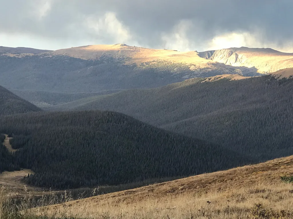
Medicine Bow Curve
~7 min drive
<p>Medicine Bow Curve provides a great location to view the northernmost areas of Rocky Mountain National Park.</p> <p>Looking to the horizon, visitors will see the Medicine Bow Mountains and the state of Wyoming. The Cache la Poudre river can clearly be seen flowing through t…

Ute Trail
~8 min drive
9.2 mi · Moderate

Meadow Snow
~10 min drive
7.9 mi · Hard

Zimmerman Lake Loop
~8 min drive
2.8 mi · Easy
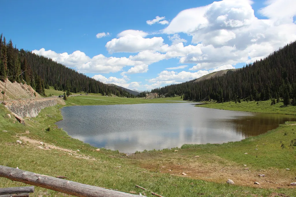
Milner Pass
~7 min drive
<p>At 10,759 feet, this mountain pass has exceptional views of Poudre Lake, and is located on the continental divide!</p> <p>The divide traverses the Americas from Alaska to Cape Horn in Chile. As it rains on the divide, the future course of a drop of water depends on a matter…

Colorado River Trail
~8 min drive
A moderate 3.66-mile lollipop trail in Colorado featuring a combination loop and out-and-back route.
Sawmill Snow
~12 min drive
6.2 mi · Hard
Zimmerman Lake Snow
~9 min drive
2.3 mi · Easy
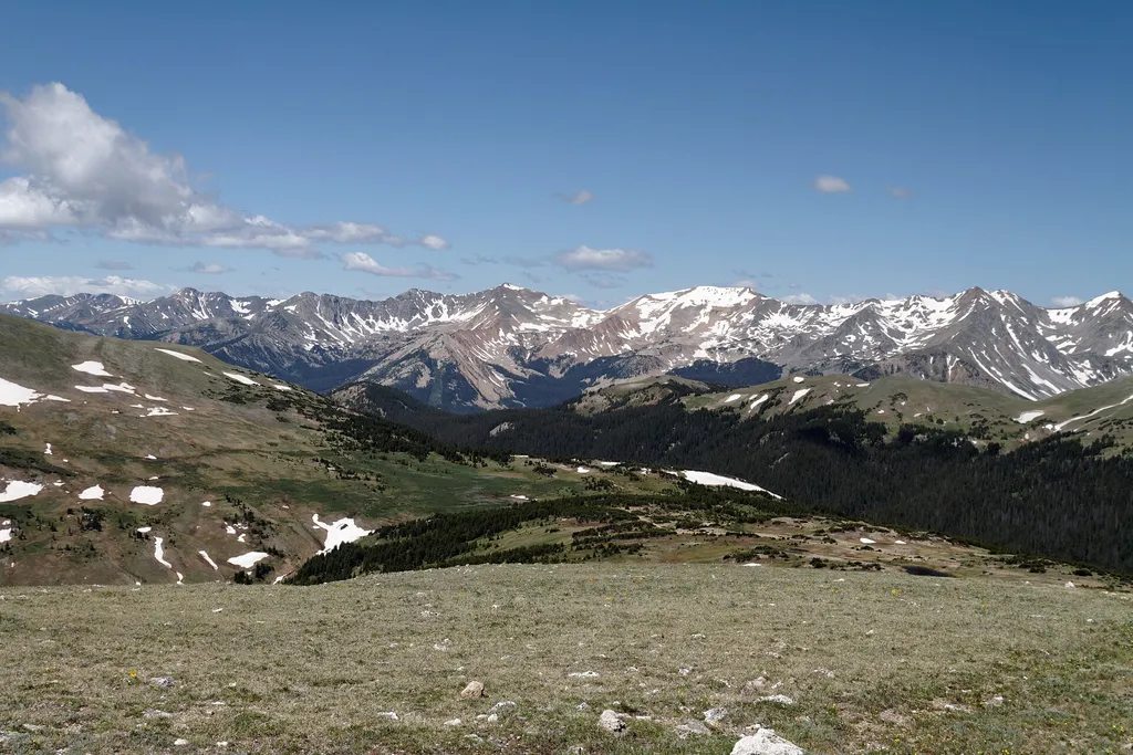
Gore Range Overlook
~8 min drive
<p>Get spectacular views of Rocky Mountain National Park’s highest peaks!</p> <p>Gore Range Overlook offers views of the Never Summer Mountains, and the Gore Range. From this western-facing pullout, the flat top of Long’s Peak is in sight - the highest peak at 14,259 feet in t…
Local operatorsoffering guided trips. You book directly with them — Roamze doesn’t take a cut.
Alpine Lodge at Red Feather Lakes
Hiking business nearby (~25 mi away) — hasn't claimed their Roamze page yet
Wildcat Mountaineering
Hiking business nearby (~34 mi away) — hasn't claimed their Roamze page yet
Camp Always Choose Adventures
Hiking business nearby (~49 mi away) — hasn't claimed their Roamze page yet