Grandview Campground
Campground
Campground · 3.5 mi from the trail
 Photo: skinnylawyer from Los Angeles, California, USA, CC BY-SA 2.0 (via Wikimedia Commons)
Road closed
US 34: Milner Pass is listed as closed by CDOT 511 (2 listed).
US 34: Milner Pass
Closed · ~4.3 km from Cache la Poudre Trail · CDOT 511
US 34: road closure
Closed · ~0.9 km from Cache la Poudre Trail · CDOT 511
Trail Ridge Road is Closed to Through Travel for the Season
Park closure covering Rocky Mountain National Park · NPS · Rocky Mountain National Park
As of · Source: CDOT 511. Agencies don't list every closure — check before you go.
Cache la Poudre Trail is a hike in Rocky Mountain National Park in Colorado, running through the park's designated wilderness, the Rocky Mountain National Park Wilderness. The National Park Service manages the land. The route covers about 7.75 miles and is rated moderate. Elevation change is modest for the distance, with about 400 feet of total climbing for the whole trip, and the trail tops out around 5,200 feet. Other trails start close by. Medicine Bow Curve and Ute Trail are both about 1.2 miles away. For an overnight base, Grandview Campground sits about 3.5 miles off, and Long Draw Campground is about 4.8 miles away.
Grandview Campground
Campground
Trail Ridge Cafe
Restaurant
Images of Rocky Mountain National Park
Gallery
Places © OpenStreetMap contributors
More in Estes ParkNot on Roamze yet. Their page has how to reach them.
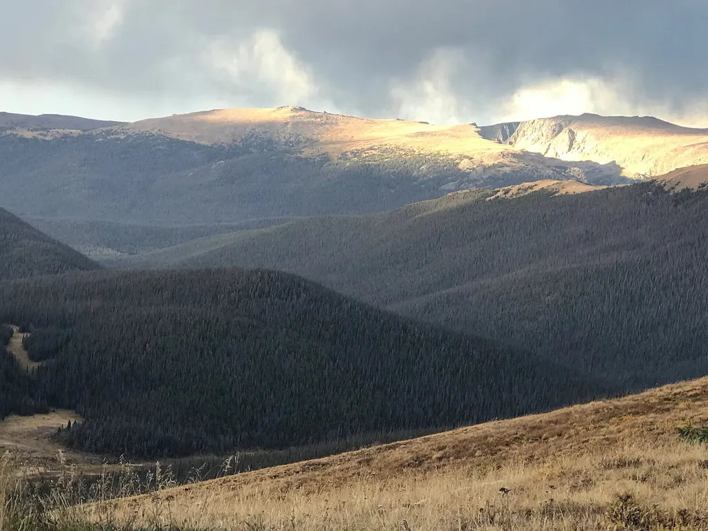 Medicine Bow CurveHikingPhoto: George Bannister from Woodville, MS, USA — Wikimedia Commons (CC BY 2.0)1.2 mi
 Ute TrailHikingPhoto: Vadim Manuylov, CC BY-SA 3.0 (via Wikimedia Commons)1.2 mi
 Marmot Point Hiking TrailHikingPhoto: Bas van Oorschot, CC BY-SA 3.0 (via Wikimedia Commons)1.8 mi
 Rock Of AgesRock climbingPhoto: lamblukas, CC BY 2.0 (via Flickr)9.2 mi
Source: Roamze catalog (indexable pages within 10 miles, PostGIS distance)
Ute TrailHiking · ~2 min drivePhoto: Vadim Manuylov, CC BY-SA 3.0 (via Wikimedia Commons) Alpine Ridge TrailHiking · ~2 min drivePhoto: Juhele_CZ, Public Domain Dedication (CC0) (via Flickr)
 Mount Ida TrailHiking · ~4 min drivePhoto: inkknife_2000 (7.5 million views +), CC BY-SA 2.0 (via Wikimedia Commons)
 Chapin Creek TrailHiking · ~4 min drivePhoto: Unknown authorUnknown author, Public domain (via Wikimedia Commons)Marmot Point Hiking TrailHiking · ~3 min drivePhoto: Bas van Oorschot, CC BY-SA 3.0 (via Wikimedia Commons)Mount ChiquitaHiking · ~4 min drivePhoto: Unknown authorUnknown author, Public domain (via Wikimedia Commons)
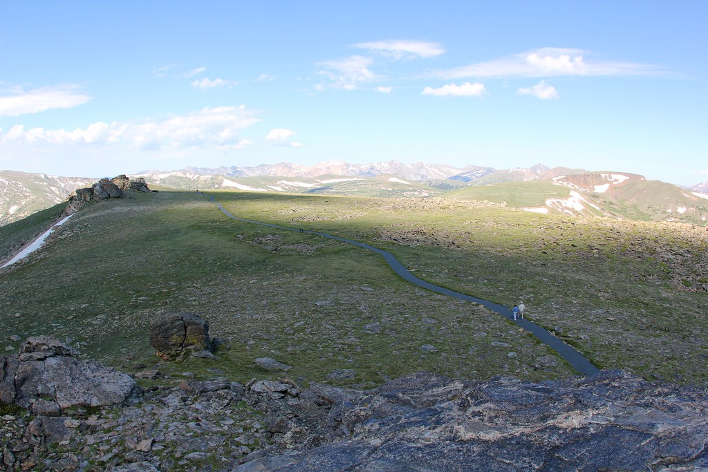 Tundra Communities TrailHiking · ~6 min drivePhoto: daveynin — CC BY 2.0 (via Flickr)
Map and trail data © OpenStreetMap contributors

