

Alpine Lodge at Red Feather Lakes
Hiking business nearby (~25 mi away) — hasn't claimed their Roamze page yet
Medicine Bow Curve
Free — you'll pick up right here.
Watch this trail
Sign up to watch it — saving subscribes you to gate, closure and report changes.
Colorado
We won't guess. Here is exactly what we do and don't know.
What we do know
Inside Rocky Mountain National Park
National Park unit boundary is mapped — agency alerts for it feed this page automatically.
Boundary data
What's missing
No access route mapped
We don't yet know which road reaches this trailhead, so we can't tell you if it's gated.
Nobody's filed a report here yet — be the first.
Medicine Bow Curve
AI-suggested draft · review before you go
No elevation data on file for this trail.
Medicine Bow Curve provides a great location to view the northernmost areas of Rocky Mountain National Park. Looking to the horizon, visitors will see the Medicine Bow Mountains and the state of Wyoming. The Cache la Poudre river can clearly be seen flowing through the valley beneath the lookout area. From this viewing area, visitors can see two tree lines. The uppermost tree line separates the sub-alpine ecosystem from the Alpine Tundra ecosystem. The lower tree line, seen near the bottom of the valley, highlights the valley floor which is too wet for trees to grow. It is also common to see Rocky Mountain Elk and small alpine animals like Ptarmigan and Marmot in this area. But please keep your distance and help keep wildlife wild. Never approach or feed wildlife. Animals that learn people are a source of food can become aggressive or stop hunting or foraging on their own. Note: Extreme weather can change the status of Trail Ridge Road at any time—be ready to adjust your travel plans if needed, and always check the weather before you start your drive. Altitude Warning: Altitude sickness affects many visitors every year. Symptoms include headache, nausea, fatigue, dizziness, vomiting, and even unconsciousness. Altitude can also aggravate pre-existing conditions like heart and lung disease. Take your time, drink water, eat, and rest. The only cure for altitude sickness is to go down to a lower altitude.
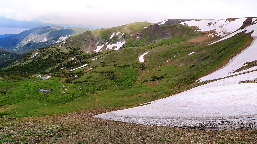
Trail Ridge Store
~1 min drive
<p>At 11,796 feet, the Alpine Visitor Center is the highest visitor center in the National Park Service!</p> <p>Usually only open from May to October, it is chilly even in the heart of summer, so make sure to bring layers or even a hat. Located on Trail Ridge Road in the alpin…

Ute Trail
~1 min drive
9.2 mi · Moderate

Timber Lake Trail
~10 min drive
5.8 mi · Easy

Baker Gulch
~15 min drive
12 mi · Hard
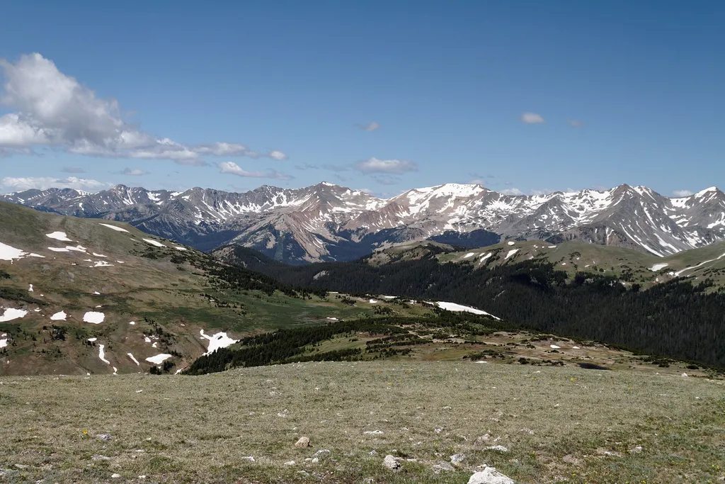
Gore Range Overlook
~2 min drive
<p>Get spectacular views of Rocky Mountain National Park’s highest peaks!</p> <p>Gore Range Overlook offers views of the Never Summer Mountains, and the Gore Range. From this western-facing pullout, the flat top of Long’s Peak is in sight - the highest peak at 14,259 feet in t…

Neota Creek
~7 min drive
3.1 mi · Moderate
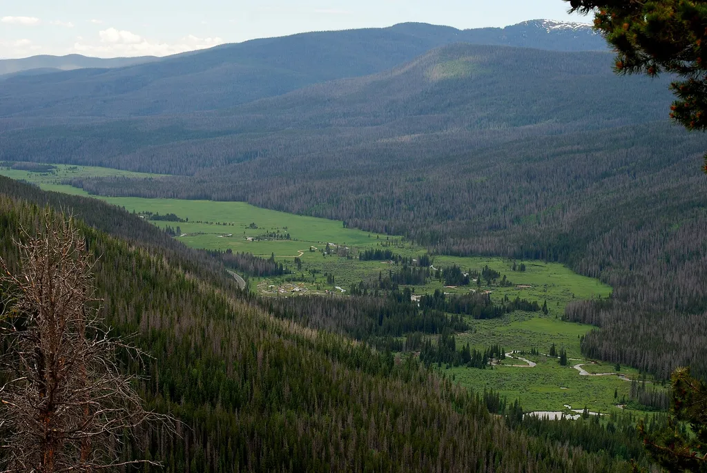
Colorado River Trailhead
~10 min drive
<p>The Colorado River Trailhead is the access point for many trails in the northwest corner of Rocky Mountain National Park.</p> <p>From this location, park visitors can explore a variety of trails. For a simple excursion, hike 0.5 miles to find the Colorado River. This point…

Tonahutu Creek Trail
~15 min drive
27 mi · Hard
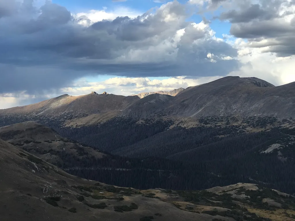
Lava Cliffs
~3 min drive
<p>Lava Cliffs features a rare section of volcanic rock in Rocky Mountain National Park.</p> <p>This area is the result of a lava flow that traveled from the Never Summer Range around 28 million years ago. Many years later, glaciers moving through the area cut open the hillsid…

Colorado River Trail
~9 min drive
A moderate 3.66-mile lollipop trail in Colorado featuring a combination loop and out-and-back route.
Local operatorsoffering guided trips. You book directly with them — Roamze doesn’t take a cut.
Alpine Lodge at Red Feather Lakes
Hiking business nearby (~25 mi away) — hasn't claimed their Roamze page yet
Wildcat Mountaineering
Hiking business nearby (~30 mi away) — hasn't claimed their Roamze page yet
Camp Always Choose Adventures
Hiking business nearby (~45 mi away) — hasn't claimed their Roamze page yet