Ditch Camp individual site
Campground
Campground · < 0.1 mi from the trail
 Photo: Yssso, CC BY-SA 2.0 (via Flickr)
Closure in the area
There's a closure order in Rocky Mountain National Park. It doesn't name Thunder Pass Trail, so check the source for the area it covers.
Trail Ridge Road is Closed to Through Travel for the Season
Park closure covering Rocky Mountain National Park · NPS · Rocky Mountain National Park
As of · Source: NPS · Rocky Mountain National Park. Agencies don't list every closure — check before you go.
Thunder Pass Trail is a short, easy hike in Rocky Mountain National Park, Colorado, set within the Rocky Mountain National Park Wilderness. The route is about a mile long and gains roughly 800 feet, with the high point reaching about 11,500 feet. The National Park Service manages the land, and the trail lies within the park's wilderness boundaries. The climb is gentle, and the trail can be done in about half an hour. The high point makes it a good objective for a quick outing, and the route is easy to fit into a longer day in the park. Several other destinations sit close by. Skeleton Gultch Trail is about 0.3 miles away, and the Colorado River Trail is about 1.2 miles off. Thunder Pass is about 1.8 miles away, and Grandview Campground, about 3.8 miles away, offers a place to stay.
Ditch Camp individual site
Campground
Trail Ridge Cafe
Restaurant
Images of Rocky Mountain National Park
Gallery
Places © OpenStreetMap contributors
More in Estes ParkNot on Roamze yet. Their page has how to reach them.
Skeleton Gultch TrailHikingPhoto: Yssso, CC BY-SA 2.0 (via Flickr)0.3 mi Colorado River TrailHikingPhoto: KimonBerlin, CC BY-SA 2.0 (via Flickr)1.2 mi
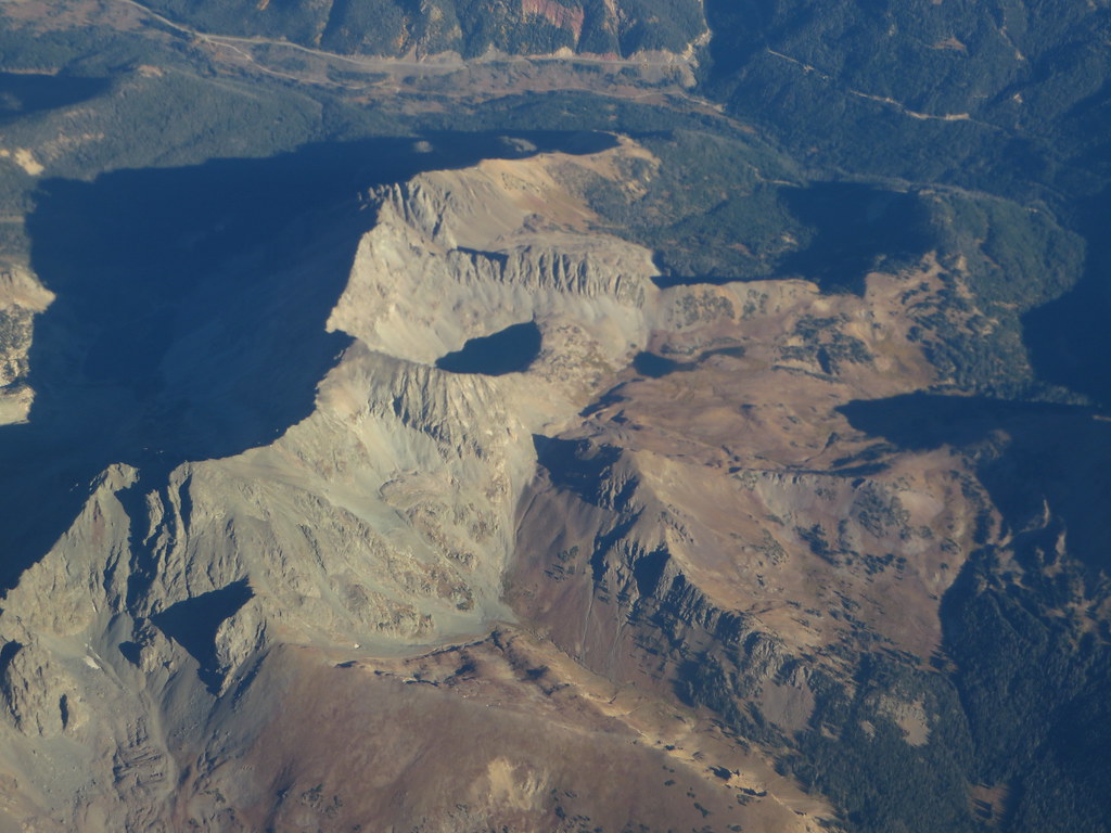 Thunder PassHikingPhoto: Ken Lund, CC BY-SA 2.0 (via Flickr)1.8 mi
Source: Roamze catalog (indexable pages within 10 miles, PostGIS distance)
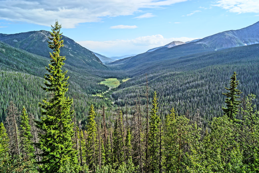 Thunder Pass TrailHiking · Next doorPhoto: Yssso, CC BY-SA 2.0 (via Flickr)Little Yellowstone TrailHiking · ~1 min drivePhoto: Yssso, CC BY-SA 2.0 (via Flickr)
 Mount Ida TrailHiking · ~7 min drivePhoto: inkknife_2000 (7.5 million views +), CC BY-SA 2.0 (via Wikimedia Commons)Skeleton Gultch TrailHiking · Next doorPhoto: Yssso, CC BY-SA 2.0 (via Flickr)Colorado River TrailHiking · ~2 min drivePhoto: KimonBerlin, CC BY-SA 2.0 (via Flickr)
 Timber Lake TrailHiking · ~7 min drivePhoto: Dariusz Kowalczyk, CC BY-SA 3.0 (via Wikimedia Commons)
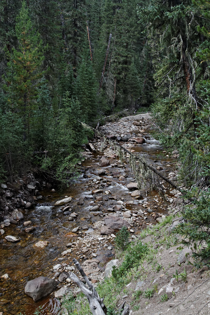 Lake of the Clouds TrailHiking · ~3 min drivePhoto: KimonBerlin, CC BY-SA 2.0 (via Flickr)
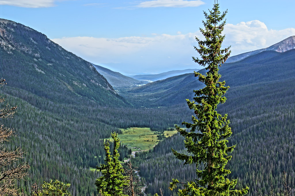 Specimen Ditch TrailHiking · ~3 min drivePhoto: Yssso, CC BY-SA 2.0 (via Flickr)
Map and trail data © OpenStreetMap contributors

