Middle Fork
- 22.3 mi
- round trip
- 3,790 ft
- climb
- 12,170 ft
- high point
- Out and back
- route
Middle Fork is a hard hike in the Weminuche Wilderness, part of the Pagosa Ranger District of the San Juan National Forest in Colorado. The Forest Service manages the land, and the trail is an out-and-back that climbs from about 8,400 feet to about 12,170 feet over a distance of about 22 miles. The route is natural-surfaced and allows horses. The Middle Fork Piedra River, a canoeing route, lies about a mile away, and the East Fork Piedra River is about 2.6 miles off. For an overnight base, Palisades Campground is about 4 miles away, and the Piedra Falls hike is about 3 miles away.
Local outfitters
- Crazy Horse Outfitters6 mi away
- Pagosa Pines RV Park18 mi away
Not on Roamze yet. Their page has how to reach them.
- Middle Fork Piedra RiverCanoeing1.1 mi
- East Fork Piedra RiverCanoeing2.6 mi
- Piedra FallsHiking3.2 mi
- Palisades CampgroundCamping4.1 mi
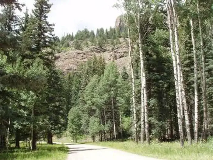 Palisades Horse CampCampingPhoto: Recreation.gov (RIDB) / public domain4.2 mi
- Indian CreekHiking4.3 mi
- Sweet Willie BoulderRock climbing5.8 mi
- Piedra River - Upper West aka Never MindRock climbing7.2 mi
Source: Roamze catalog (indexable pages within 10 miles, PostGIS distance)
 Trout CreekHiking · ~19 min drivePhoto: fringedbenefit, CC BY 2.0 (via Flickr)
- Piedra FallsHiking · ~5 min drive
- Indian CreekHiking · ~7 min drive
- Palisade MeadowsHiking · ~7 min drive
- Upper FourmileHiking · ~10 min drive
- Williams CreekHiking · ~8 min drive
- Williams Fork LakeHiking · ~12 min drive
- Hossick LakeHiking · ~13 min drive
- East TroutHiking · ~12 min drive
- Middle CreekHiking · ~12 min drive
Route details
- Distance
- 22.3 mi round trip
- Climbing
- About 3,790 ft
- Starts at
- MIDDLE FORK (about 9,408 ft)
- Summit
- 12,236 ft
- Difficulty
- Hard
Getting there
Park at MIDDLE FORK.
Questions about this route
How long is the Middle Fork on Palomino Mountain?
About 22.3 mi round trip from MIDDLE FORK (about 9,408 ft).
How much elevation gain is on the Middle Fork?
About 3,790 ft of climbing round trip.
How hard is the Middle Fork?
It is rated hard.
Where does the Middle Fork start?
MIDDLE FORK (about 9,408 ft).
Conditions and forecast on Palomino Mountain
Daily highs and lows, wind and the chance of precipitation at the summit and route start for the next 7 days, from the Open-Meteo model.
