Ivy Creek Campground
Campground
Campground · 6.2 mi from the trail
Closure in the area
There's a closure order in Rio Grande National Forest. It doesn't name Middle Creek, so check the source for the area it covers.
Closures and dangerous conditions on roads, bridges, and trails from flooding
Agency closure covering Rio Grande National Forest · USFS · Rio Grande National Forest
As of · Source: USFS · Rio Grande National Forest. Agencies don't list every closure — check before you go.
Middle Creek is a 6.5-mile out-and-back hike in the Weminuche Wilderness, part of the Divide Ranger District of the Rio Grande National Forest in Colorado. The Forest Service manages the land, and the trail is rated moderate, with a one-way climb of about 1,400 feet from a low point of roughly 11,568 feet to a high of about 12,460 feet. The trail is natural-surfaced and allows horses, so riders can take it as well as hikers. That makes it a practical choice for anyone planning a longer stay in the area. For more time on foot, East Trout and West Trout are both within about 4 miles. Ivy Creek Campground, about 6 miles away, offers a place to camp. Paddlers can head to the East Fork Piedra River, roughly 7.5 miles off.
Ivy Creek Campground
Campground
Ramon's Mexican Restaurant
Restaurant
Quiller Gallery
Gallery
Places © OpenStreetMap contributors
More in South ForkNot on Roamze yet. Their page has how to reach them.
 Trout CreekHikingPhoto: fringedbenefit, CC BY 2.0 (via Flickr)4.9 mi
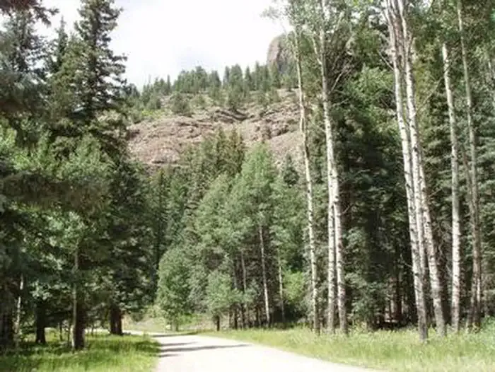 Palisades Horse CampCampingPhoto: Recreation.gov (RIDB) / public domain9 mi
Source: Roamze catalog (indexable pages within 10 miles, PostGIS distance)
Trout CreekHiking · ~8 min drivePhoto: fringedbenefit, CC BY 2.0 (via Flickr) Hunters LakeHiking · ~20 min drivePhoto: cogdogblog, Public Domain Dedication (CC0) (via Flickr)
 HighlineHiking · ~20 min drivePhoto: cogdogblog, Public Domain Dedication (CC0) (via Flickr)
 30 Mile Horse TrailHiking · ~24 min drivePhoto: JustTooLazy, CC BY 2.0 (via Flickr)
 ArchuletaHiking · ~23 min drivePhoto: JustTooLazy, CC BY 2.0 (via Flickr)
