Williams Creek
- 19.6 mi
- round trip
- 3,543 ft
- climb
- 11,901 ft
- high point
- Out and back
- route
Caution today
Agency alerts are in effect for this area; weather is good · USFS, OpenWeather · checked 10 h ago
Is Williams Creek open right now?
Closure in the area
There's a closure order in San Juan National Forest. It doesn't name Williams Creek, so check the source for the area it covers (3 listed).
Travel is not advised to the San Juan NF
Agency closure covering San Juan National Forest · USFS · San Juan National Forest
Closures and dangerous conditions on roads, bridges, and trails from flooding
Agency closure covering San Juan National Forest · USFS · San Juan National Forest
Multiple roads and trails damaged by flooding on SJNF
Agency closure covering San Juan National Forest · USFS · San Juan National Forest
Bear Activity High Across San Juan National Forest
Agency alert covering San Juan National Forest · USFS · San Juan National Forest
West Fork Road and Bridge Closure Order
Agency alert covering Pagosa Ranger District · Order 02-13-06-25-19 · USFS · Pagosa Ranger District
As of · Source: USFS · San Juan National Forest. Agencies don't list every closure — check before you go.
Williams Creek is a hard hike in Colorado's Weminuche Wilderness, part of the Pagosa Ranger District of the San Juan National Forest. The trail is an out-and-back that climbs from about 8,366 feet to 11,901 feet, a total gain of 3,543 feet over a route of about 19.6 miles. The Forest Service manages the land, and the trail is open from June 1 to September 30. The trail is natural-surfaced and allows horses, so riders can plan a pack trip. The trip is long and steep, and the high point sits well above the low point, so expect a significant climb over the course of the day. The trailhead is called Williams Creek TH, and the parking is at that location. The surrounding area offers several other options. Indian Creek is about 0.8 miles away, and Palisade Meadows is about 1.7 miles away. Palisades Campground is about 2.7 miles away, and the Middle Fork Piedra River, a paddling route, is about 4.4 miles away.
Local outfitters
- Crazy Horse Outfitters9 mi away
- Pagosa Pines RV Park22 mi away
Not on Roamze yet. Their page has how to reach them.
- Indian CreekHiking0.8 mi
- Palisade MeadowsHiking1.7 mi
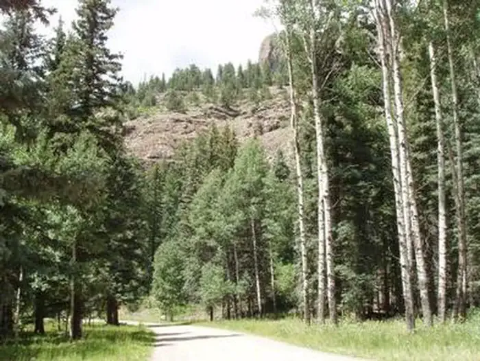 Palisades Horse CampCampingPhoto: Recreation.gov (RIDB) / public domain2.2 mi
- Palisades CampgroundCamping2.7 mi
- Middle Fork Piedra RiverCanoeing4.4 mi
- Sweet Willie BoulderRock climbing5.7 mi
- Weminuche CreekCanoeing6.7 mi
- Piedra River - Upper West aka Never MindRock climbing9.9 mi
Source: Roamze catalog (indexable pages within 10 miles, PostGIS distance)
 Trout CreekHiking · ~16 min drivePhoto: fringedbenefit, CC BY 2.0 (via Flickr)
 Grizzly CreekHiking · ~19 min drivePhoto: JustTooLazy, CC BY 2.0 (via Flickr)
- Rio Grande PyramidHiking · ~19 min drivePhoto: JustTooLazy, CC BY 2.0 (via Flickr)
 30 Mile Horse TrailHiking · ~19 min drivePhoto: JustTooLazy, CC BY 2.0 (via Flickr)
- Williams Fork LakeHiking · ~5 min drive
- WeminucheHiking · ~19 min drivePhoto: JustTooLazy, CC BY 2.0 (via Flickr)
- Hossick LakeHiking · ~5 min drive
- West TroutHiking · ~11 min drive
- Indian CreekHiking · ~1 min drive
- Piedra FallsHiking · ~13 min drive
