Williams Fork Lake
- 4.8 mi
- round trip
- 1,365 ft
- climb
- 12,012 ft
- high point
- Out and back
- route
Is Williams Fork Lake open right now?
Closure in the area
There's a closure order in San Juan National Forest. It doesn't name Williams Fork Lake, so check the source for the area it covers (3 listed).
Travel is not advised to the San Juan NF
Agency closure covering San Juan National Forest · USFS · San Juan National Forest
Closures and dangerous conditions on roads, bridges, and trails from flooding
Agency closure covering San Juan National Forest · USFS · San Juan National Forest
Multiple roads and trails damaged by flooding on SJNF
Agency closure covering San Juan National Forest · USFS · San Juan National Forest
Bear Activity High Across San Juan National Forest
Agency alert covering San Juan National Forest · USFS · San Juan National Forest
West Fork Road and Bridge Closure Order
Agency alert covering Pagosa Ranger District · Order 02-13-06-25-19 · USFS · Pagosa Ranger District
As of · Source: USFS · San Juan National Forest. Agencies don't list every closure — check before you go.
Williams Fork Lake is a moderate out-and-back hike in Colorado's Weminuche Wilderness, within the Pagosa Ranger District of the San Juan National Forest. The trail is managed by the Forest Service and runs about 4.8 miles, with a one-way elevation gain of 1,365 feet from a low point of 10,646 feet to a high of 12,012 feet. The route is natural-surface and allows horses, and bikes are not permitted. The trail is open from June 1 to September 30, so plan your trip for summer and early fall. Nearby, Palisade Meadows and Williams Creek are both within about 3 miles, and Hossick Lake is about 3.7 miles away. For an overnight stay, Palisades Campground sits roughly 5.7 miles from the trail.
Local outfitters
- Crazy Horse Outfitters12 mi away
- Blue Creek Lodge23 mi away
Not on Roamze yet. Their page has how to reach them.
- Palisade MeadowsHiking2.7 mi
- Williams CreekHiking3.1 mi
- Hossick LakeHiking3.7 mi
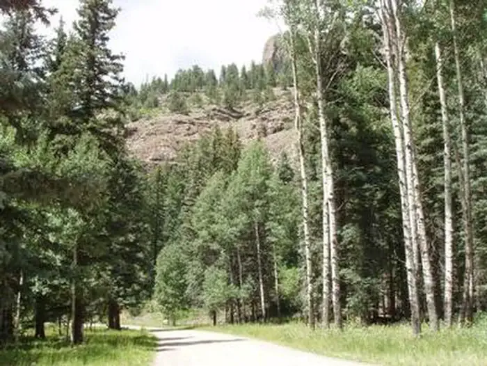 Palisades Horse CampCampingPhoto: Recreation.gov (RIDB) / public domain5.2 mi
- Palisades CampgroundCamping5.7 mi
- Middle Fork Piedra RiverCanoeing7.2 mi
- Trout CreekCanoeing8 mi
- Sweet Willie BoulderRock climbing8.7 mi
Source: Roamze catalog (indexable pages within 10 miles, PostGIS distance)
 Trout CreekHiking · ~12 min drivePhoto: fringedbenefit, CC BY 2.0 (via Flickr)
 30 Mile Horse TrailHiking · ~15 min drivePhoto: JustTooLazy, CC BY 2.0 (via Flickr)
 Grizzly CreekHiking · ~15 min drivePhoto: JustTooLazy, CC BY 2.0 (via Flickr)
- Rio Grande PyramidHiking · ~15 min drivePhoto: JustTooLazy, CC BY 2.0 (via Flickr)
- Palisade MeadowsHiking · ~5 min drive
- Hossick LakeHiking · ~6 min drive
- WeminucheHiking · ~15 min drivePhoto: JustTooLazy, CC BY 2.0 (via Flickr)
- West TroutHiking · ~7 min drive
- North Fork Pine River TrailHiking · ~16 min drive
- Williams CreekHiking · ~5 min drive

