Mountain · 1 route
Palomino Mountain
12,236 ft · Colorado
- Summit
- 12,236 ft
- Routes
- 1 way up
- Season
- June 1 – September 30
Route up Palomino Mountain
About Palomino Mountain
Palomino Mountain is a summit in the Weminuche Wilderness, within the Pagosa Ranger District of the San Juan National Forest in southwestern Colorado. The nearest town is Piedra, about 11 miles away. Several other destinations lie close by. Middle Creek is a hike about 3 miles away, and East Trout is another hike at about 5 miles. The East Fork Piedra River offers canoeing at about 5 miles, and Palisades Campground is about 9 miles away.
Forecast on Palomino Mountain
Daily highs and lows, wind and the chance of precipitation at the summit and route start for the next 7 days, from the Open-Meteo model.
Questions about Palomino Mountain
How tall is Palomino Mountain?
12,236 ft (3,730 m).
How many routes go to the summit of Palomino Mountain?
One: Middle Fork.
Where do the routes up Palomino Mountain start?
Middle Fork starts at MIDDLE FORK (about 9,408 ft).
When is the best time to climb Palomino Mountain?
June 1 – September 30.
Mountains nearby
- South River Peak13,143 ft · Colorado1 route3.6 mi away
- Metroz Mountain11,899 ft · Colorado1 route13 mi away
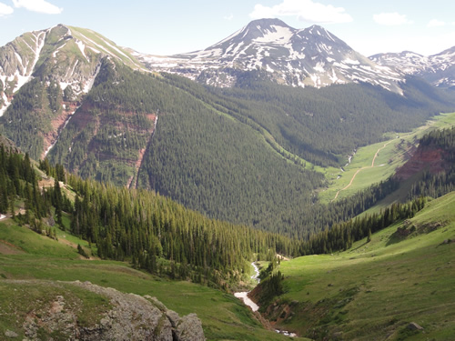 Rio Grande Pyramid13,820 ft · Colorado1 route21 mi awayPhoto: U.S. Forest Service Staff, Public domain (via Wikimedia Commons)
- Horse Mountain9,946 ft · Colorado1 route22 mi away
- Slide Mountain11,109 ft · Colorado1 route22 mi away
- Devil Mountain9,925 ft · Colorado2 routes23 mi away
Facts about this place
Where it is
- Weminuche Wilderness · Wilderness
- Pagosa Ranger District · Ranger district
- San Juan National Forest · National forest
- Nearest town
- Piedra, Colorado · 11 mi
Source: Wilderness.net boundaries; USFS EDW boundaries; USGS GNIS populated places
Conditions
Active alerts for Pagosa Ranger District as of Oct 9, 2026:
West Fork Road and Bridge Closure Order
caution · posted Aug 24, 2026
Source: USFS forest alerts
Nearby
- Middle CreekHiking2.8 mi
- East TroutHiking4.9 mi
- East Fork Piedra RiverCanoeing5 mi
- Middle ForkHiking5.3 mi
- Middle Fork Piedra RiverCanoeing6.4 mi
 West Fork San Juan RiverCanoeingPhoto: Jeffrey Beall, CC BY 4.0 (via Wikimedia Commons)7.5 mi
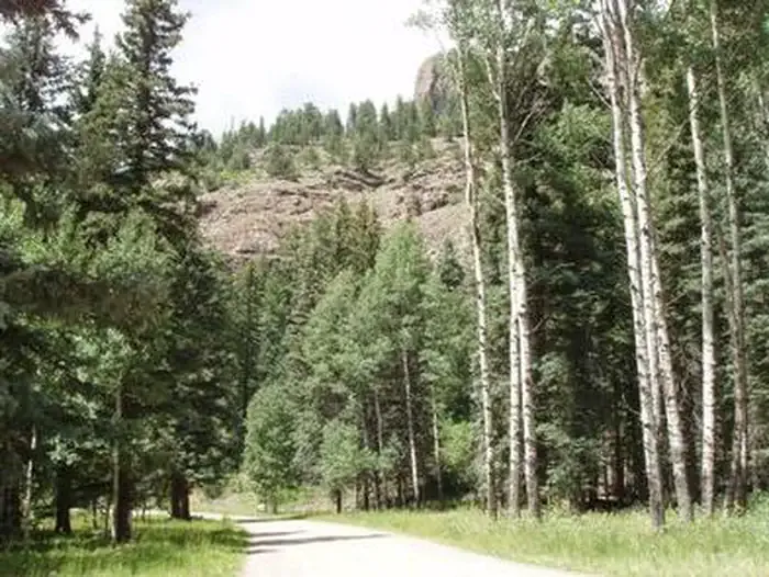 Palisades Horse CampCampingPhoto: Recreation.gov (RIDB) / public domain8.4 mi
- Palisades CampgroundCamping8.6 mi
Source: Roamze catalog (indexable pages within 10 miles, PostGIS distance)
Is Palomino Mountain open right now?
Closure in the area
There's a closure order in San Juan National Forest. It doesn't name Palomino Mountain, so check the source for the area it covers (2 listed).
Closures and dangerous conditions on roads, bridges, and trails from flooding
Agency closure covering San Juan National Forest · USFS · San Juan National Forest
Multiple roads and trails damaged by flooding on SJNF
Agency closure covering San Juan National Forest · USFS · San Juan National Forest
Bear Activity High Across San Juan National Forest
Agency alert covering San Juan National Forest · USFS · San Juan National Forest
West Fork Road and Bridge Closure Order
Agency alert covering Pagosa Ranger District · Order 02-13-06-25-19 · USFS · Pagosa Ranger District
As of · Source: USFS · San Juan National Forest. Agencies don't list every closure — check before you go.
