Lost Lake to Piney
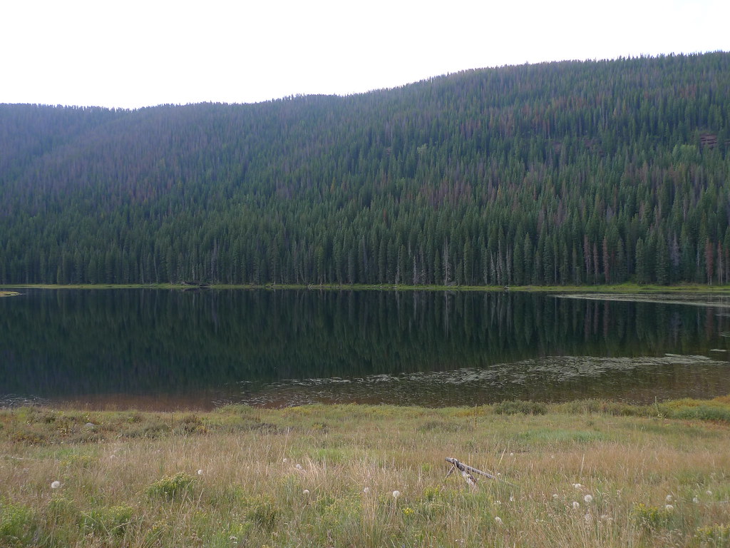 Photo: jl_2, CC BY-SA 2.0 (via Flickr)
- 3.1 mi
- round trip
- 128 ft
- climb
- 10,047 ft
- high point
- Out and back
- route
- Jun–Jul
- best months
Caution today
Agency alerts are in effect for this area; weather is good · USFS, OpenWeather · checked 5 h ago
Is Lost Lake to Piney open right now?
Alert in the area
The Forest Service lists 6 alerts for White River National Forest.
FSR 286, Radical Hill, is closed due to washouts and unsafe conditions
Agency alert covering White River National Forest · USFS · White River National Forest
Limited parking at Snowmass Creek Trailhead
Agency alert covering White River National Forest · USFS · White River National Forest
Grizzly Creek Trail Closure
Agency alert covering White River National Forest · Order 2026-02 · USFS · White River National Forest
Ruedi Marina Day Use area Dump Station is CLOSED
Agency alert covering White River National Forest · USFS · White River National Forest
Asbestos safety closure - Camp Hale
Agency alert covering White River National Forest · USFS · White River National Forest
As of · Source: USFS · White River National Forest. Agencies don't list every closure — check before you go.
Lost Lake to Piney is a 3.1-mile out-and-back hike in the Holy Cross Ranger District of Colorado's White River National Forest, managed by the Forest Service. The trail rises from a low point of 9,344 feet to a high of 10,047 feet, with an elevation gain of 128 feet, and is rated moderate. The route is natural-surfaced and allows horses, and bikes are not permitted. The Piney Lake Trailhead is the parking for the trip, and the trail is open year-round. Summer is the most comfortable time to go. Typical averages from a nearby weather station at Dillon, which sits about 1,000 feet lower, show July highs around 75°F with lows near 38°F, while winter highs stay in the low 30s. Piney Designated Dispersed Site is 0.7 miles away, and Mount Powell and Upper Piney are both within about a mile and a half. Lost Lake, a river fishing spot, is 1.6 miles off.
Go with a guide
- Mineral Belt Trail Guided WalkRoamze · $25 per person · 32 mi away
- Rancho Del Rio17 mi away
- Piney Designated Dispersed SiteCamping0.7 mi
- Mount PowellHikingPhoto: jl_2, CC BY-SA 2.0 (via Flickr)1 mi
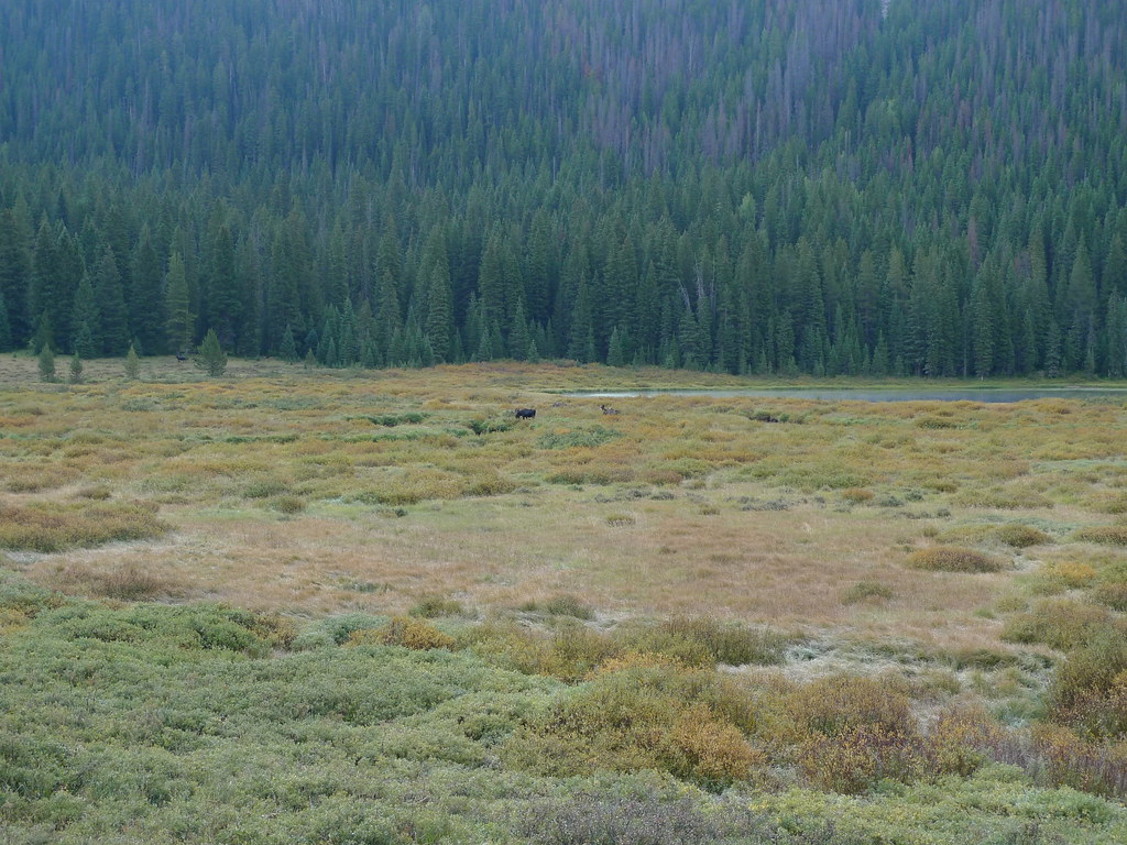 Upper PineyHikingPhoto: jl_2, CC BY-SA 2.0 (via Flickr)1.3 mi
- Lost LakeRiver fishing1.6 mi
- Piney RiverCanoeing5.6 mi
- Easter Egg BoulderRock climbing6.1 mi
 Booth Creek BouldersRock climbingPhoto: toastal_OLD, CC BY 2.0 (via Flickr)6.1 mi
- Piney Guard StationCamping8.7 mi
Source: Roamze catalog (indexable pages within 10 miles, PostGIS distance)
- Upper PineyHiking · ~2 min drivePhoto: jl_2, CC BY-SA 2.0 (via Flickr)
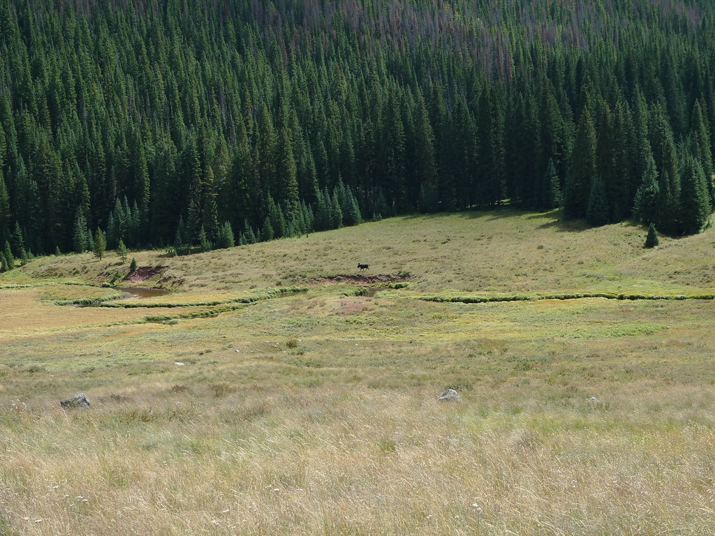 Soda Lakes TrailHiking · ~3 min drivePhoto: jl_2, CC BY-SA 2.0 (via Flickr)
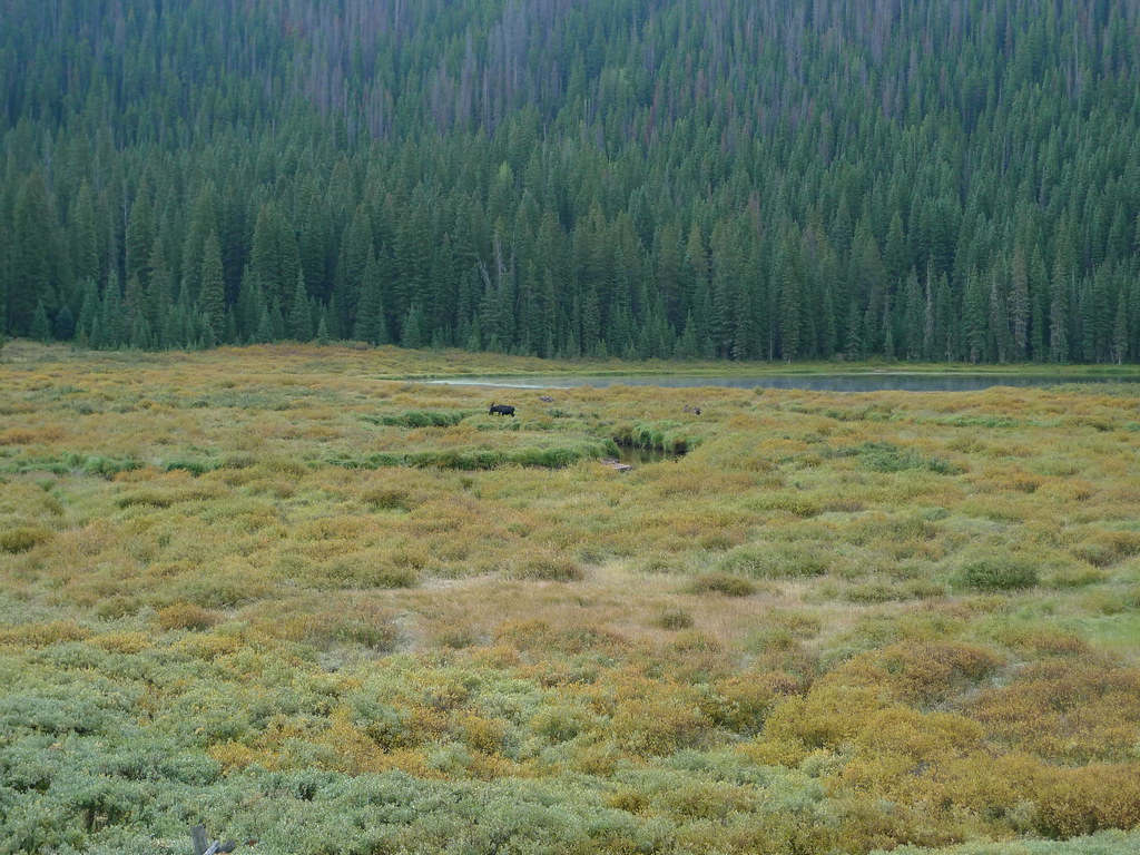 Lost LakeHiking · ~3 min drivePhoto: jl_2, CC BY-SA 2.0 (via Flickr)
- West Partner PeakHiking · ~11 min drivePhoto: toastal_OLD, CC BY 2.0 (via Flickr)
 Buck CreekHiking · ~11 min drivePhoto: aperturismo, CC BY-SA 2.0 (via Flickr)
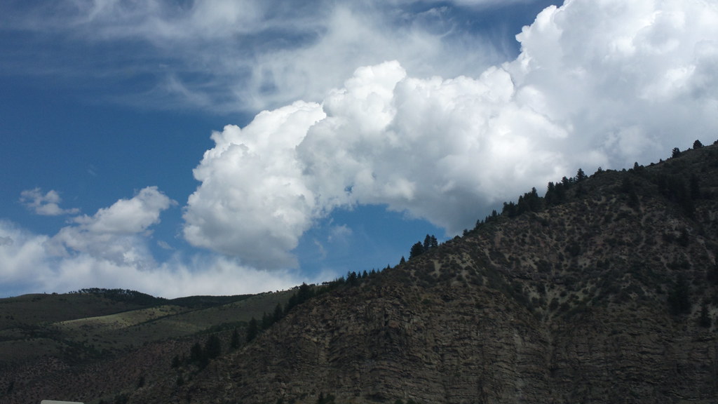 Davos TrailHiking · ~11 min drivePhoto: roland, CC BY 2.0 (via Flickr)
 East Meadow CreekHiking · ~3 min drivePhoto: jl_2, CC BY-SA 2.0 (via Flickr)
- Mount PowellHiking · ~2 min drivePhoto: jl_2, CC BY-SA 2.0 (via Flickr)
- Middle CreekHiking · ~4 min drive
- East Meadow Creek ConnectHiking · ~3 min drive
Also worth it near here
Best time to visit Lost Lake to Piney
Best months: June–July. Best months have typical highs of 55–85 °F, lows of 30 °F or warmer (32 °F where the station doesn't record snow), at most one snowy day and no more than 12 wet days.
Jan
31° / 1°
12 wet
Feb
33° / 4°
11 wet
Mar
41° / 10°
11 wet
Apr
47° / 18°
11 wet
May
58° / 26°
10 wet
Jun
69° / 33°
9 wet
Jul
75° / 38°
12 wet
Aug
73° / 37°
13 wet
Sep
66° / 30°
10 wet
Oct
54° / 21°
8 wet
Nov
41° / 11°
9 wet
Dec
32° / 3°
11 wet
Typical high / low (°F) and days with rain or snow, 1991–2020. Measured at Dillon 1 E, CO, 20.8 mi away at 9,065 ft. The station sits about 1,000 ft lower than this place, so expect it a little cooler here. This station doesn't record snowfall. Source: NOAA NCEI U.S. Climate Normals 1991–2020.
