Middle Creek
- 1.6 mi
- round trip
- 819 ft
- climb
- 10,804 ft
- high point
- Out and back
- route
Is Middle Creek open right now?
Alert in the area
The Forest Service lists 6 alerts for White River National Forest.
FSR 286, Radical Hill, is closed due to washouts and unsafe conditions
Agency alert covering White River National Forest · USFS · White River National Forest
Limited parking at Snowmass Creek Trailhead
Agency alert covering White River National Forest · USFS · White River National Forest
Grizzly Creek Trail Closure
Agency alert covering White River National Forest · Order 2026-02 · USFS · White River National Forest
Ruedi Marina Day Use area Dump Station is CLOSED
Agency alert covering White River National Forest · USFS · White River National Forest
Asbestos safety closure - Camp Hale
Agency alert covering White River National Forest · USFS · White River National Forest
As of · Source: USFS · White River National Forest. Agencies don't list every closure — check before you go.
Middle Creek is a 3.28-mile out-and-back trail in Colorado managed by the Forest Service. The route gains 819 feet of elevation.
Go with a guide
- Mineral Belt Trail Guided WalkRoamze · $25 per person · 31 mi away
- Rancho Del Rio19 mi away
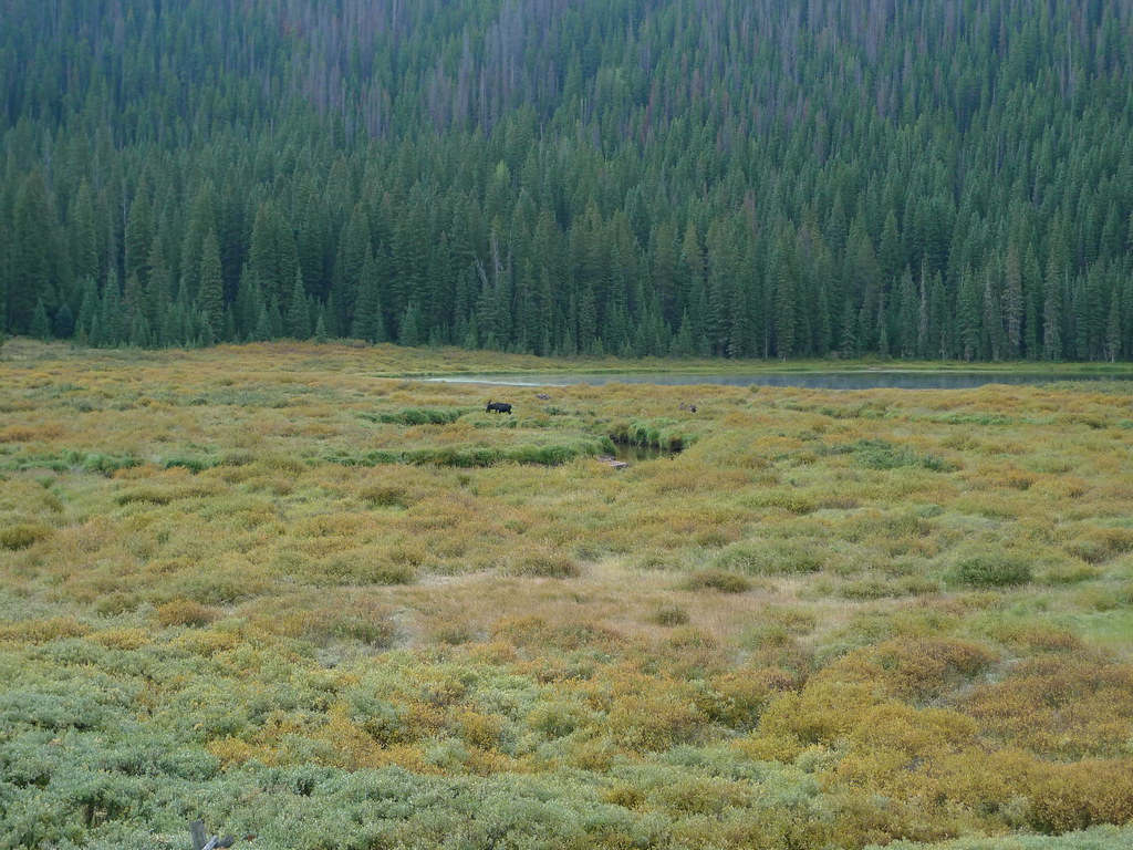 Lost LakeHiking · ~2 min drivePhoto: jl_2, CC BY-SA 2.0 (via Flickr)
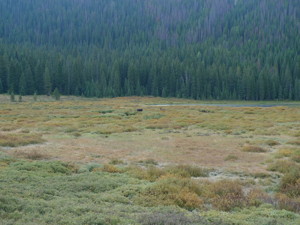 Upper PineyHiking · ~4 min drivePhoto: jl_2, CC BY-SA 2.0 (via Flickr)
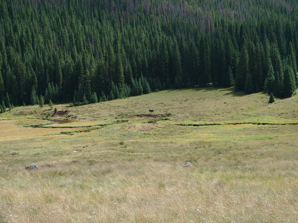 Soda Lakes TrailHiking · ~4 min drivePhoto: jl_2, CC BY-SA 2.0 (via Flickr)
 West Partner PeakHiking · ~7 min drivePhoto: toastal_OLD, CC BY 2.0 (via Flickr)
 Upper Piney Lake TrailHiking · ~5 min drivePhoto: jl_2, CC BY-SA 2.0 (via Flickr)
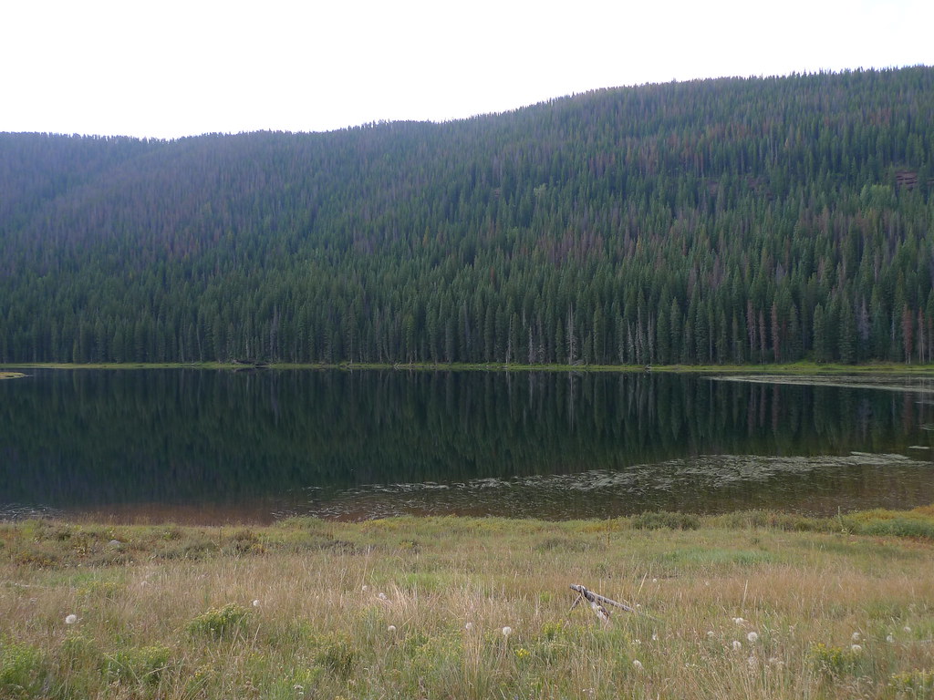 Lost Lake to PineyHiking · ~4 min drivePhoto: jl_2, CC BY-SA 2.0 (via Flickr)
- Middle Creek CanyonHiking · Next door
- East Partner PeakHiking · ~9 min drivePhoto: toastal_OLD, CC BY 2.0 (via Flickr)
 East Meadow CreekHiking · ~6 min drivePhoto: jl_2, CC BY-SA 2.0 (via Flickr)
- Son of Middle CreekHiking · ~5 min drive
Best time to visit Middle Creek
No month here meets our mild-weather rule. Best months have typical highs of 55–85 °F, lows of 30 °F or warmer (32 °F where the station doesn't record snow), at most one snowy day and no more than 12 wet days.
Jan
27° / 3°
15 wet · 15 snow
Feb
29° / 3°
15 wet · 15 snow
Mar
35° / 8°
14 wet · 14 snow
Apr
40° / 15°
13 wet · 13 snow
May
49° / 25°
10 wet · 8 snow
Jun
61° / 34°
8 wet · 2 snow
Jul
67° / 40°
13 wet
Aug
64° / 39°
15 wet
Sep
58° / 32°
11 wet · 2 snow
Oct
47° / 21°
9 wet · 7 snow
Nov
35° / 11°
12 wet · 12 snow
Dec
27° / 3°
15 wet · 15 snow
Typical high / low (°F) and days with rain or snow, 1991–2020. Measured at Climax, CO, 24.7 mi away at 11,344 ft. The station sits about 500 ft higher than this place, so expect it a little warmer here. Source: NOAA NCEI U.S. Climate Normals 1991–2020.

Map and trail data © OpenStreetMap contributors
