Mount Powell
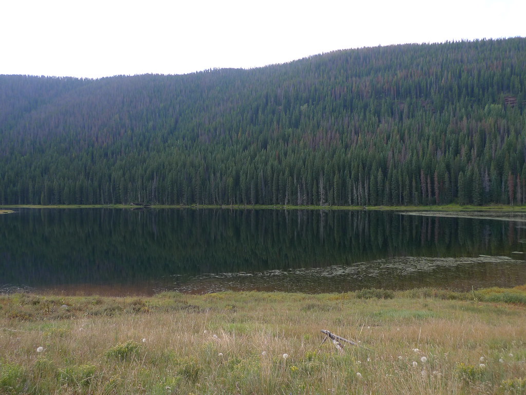 Photo: jl_2, CC BY-SA 2.0 (via Flickr)
- 9.8 mi
- round trip
- 5,441 ft
- climb
- 13,586 ft
- high point
- Out and back
- route
Is Mount Powell open right now?
Alert in the area
The Forest Service lists 6 alerts for White River National Forest.
FSR 286, Radical Hill, is closed due to washouts and unsafe conditions
Agency alert covering White River National Forest · USFS · White River National Forest
Limited parking at Snowmass Creek Trailhead
Agency alert covering White River National Forest · USFS · White River National Forest
Grizzly Creek Trail Closure
Agency alert covering White River National Forest · Order 2026-02 · USFS · White River National Forest
Ruedi Marina Day Use area Dump Station is CLOSED
Agency alert covering White River National Forest · USFS · White River National Forest
Asbestos safety closure - Camp Hale
Agency alert covering White River National Forest · USFS · White River National Forest
As of · Source: USFS · White River National Forest. Agencies don't list every closure — check before you go.
Mount Powell is a high, steep out-and-back hike in Colorado's White River National Forest, within the Holy Cross Ranger District. The route is about 9.8 miles long, with a total elevation gain of 5,441 feet, and the summit sits at 13,586 feet. The climb is rated expert, and the Forest Service manages the land. The trip is a full-day effort. Plan on about six hours, and expect a round trip with roughly 5,400 feet of climbing and the same amount of descent. The route is long and the gain is high, so it suits experienced hikers looking for a serious mountain objective. The Upper Piney and Soda Lakes Trail hikes both start within a mile of the summit. Piney Designated Dispersed Site offers camping about a mile away. Farther out, the Piney River, about 5.5 miles off, is a paddling option.
Go with a guide
- Mineral Belt Trail Guided WalkNexPM AI · $25 per person · 33 mi away
- Rancho Del Rio16 mi away
Conditions and forecast on Mount Powell
Daily highs and lows, wind and the chance of precipitation at the summit and route start for the next 7 days, from the Open-Meteo model.
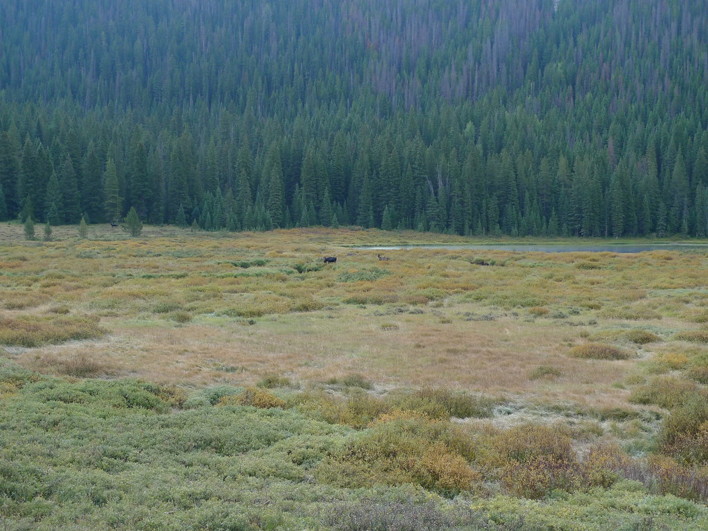 Upper PineyHikingPhoto: jl_2, CC BY-SA 2.0 (via Flickr)0.3 mi
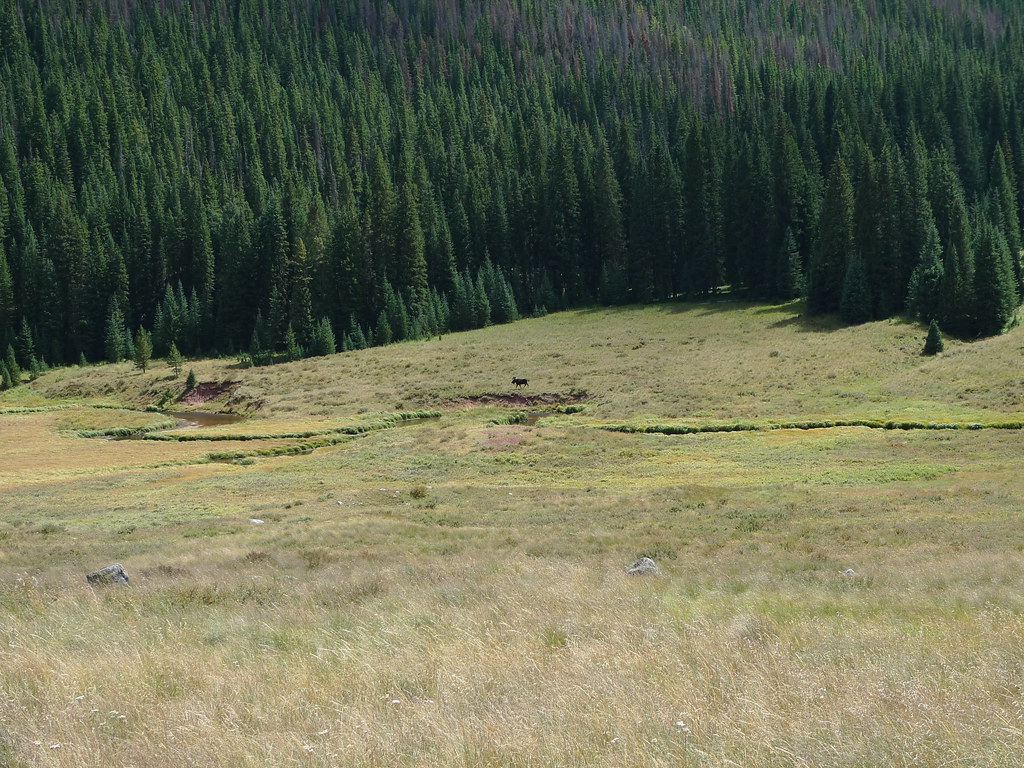 Soda Lakes TrailHikingPhoto: jl_2, CC BY-SA 2.0 (via Flickr)0.6 mi
- Piney Designated Dispersed SiteCamping1 mi
- Piney RiverCanoeing5.5 mi
- Easter Egg BoulderRock climbing6.2 mi
 Booth Creek BouldersRock climbingPhoto: toastal_OLD, CC BY 2.0 (via Flickr)6.3 mi
- PitkinLake fishing7.5 mi
- Piney Guard StationCamping8.9 mi
Source: Roamze catalog (indexable pages within 10 miles, PostGIS distance)
- Upper PineyHiking · Next doorPhoto: jl_2, CC BY-SA 2.0 (via Flickr)
- Soda Lakes TrailHiking · ~1 min drivePhoto: jl_2, CC BY-SA 2.0 (via Flickr)
- West Partner PeakHiking · ~11 min drivePhoto: toastal_OLD, CC BY 2.0 (via Flickr)
 East Meadow CreekHiking · ~2 min drivePhoto: jl_2, CC BY-SA 2.0 (via Flickr)
- Lost Lake to PineyHiking · ~2 min drivePhoto: jl_2, CC BY-SA 2.0 (via Flickr)
- East Meadow Creek ConnectHiking · ~3 min drive
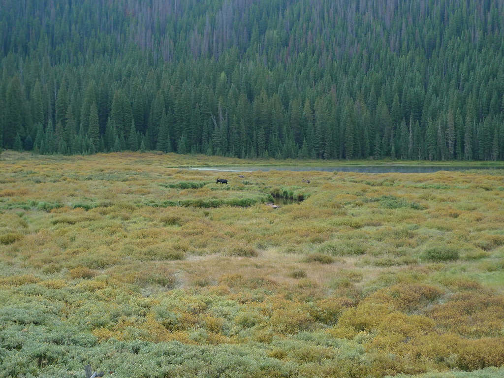 Lost LakeHiking · ~2 min drivePhoto: jl_2, CC BY-SA 2.0 (via Flickr)
- Wash HollandHiking · ~4 min drive
- Middle Creek CanyonHiking · ~4 min drive
 Upper Piney Lake TrailHiking · ~4 min drivePhoto: jl_2, CC BY-SA 2.0 (via Flickr)

Route details
- Distance
- 9.8 mi round trip
- Climbing
- About 5,441 ft
- Starts at
- Piney River Ranch
- Summit
- 13,540 ft
- Difficulty
- Expert
Questions about this route
How long is the Mount Powell on Mount Powell?
About 9.8 mi round trip from Piney River Ranch.
How much elevation gain is on the Mount Powell?
About 5,441 ft of climbing round trip.
How hard is the Mount Powell?
It is rated expert.
Where does the Mount Powell start?
Piney River Ranch.
© openrouteservice.org by HeiGIT | Map data © OpenStreetMap contributors
