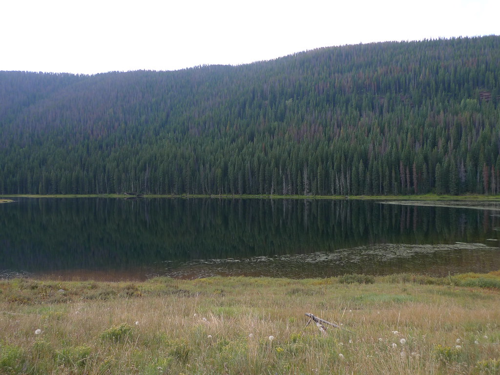
Piney River
- 26.3 mi
- distance
- 10,479 ft
- high point
- Jun–Jul
- best months
Is Piney River open right now?
Alert in the area
The Forest Service lists 6 alerts for White River National Forest.
FSR 286, Radical Hill, is closed due to washouts and unsafe conditions
Agency alert covering White River National Forest · USFS · White River National Forest
Limited parking at Snowmass Creek Trailhead
Agency alert covering White River National Forest · USFS · White River National Forest
Grizzly Creek Trail Closure
Agency alert covering White River National Forest · Order 2026-02 · USFS · White River National Forest
Ruedi Marina Day Use area Dump Station is CLOSED
Agency alert covering White River National Forest · USFS · White River National Forest
Asbestos safety closure - Camp Hale
Agency alert covering White River National Forest · USFS · White River National Forest
As of · Source: USFS · White River National Forest. Agencies don't list every closure — check before you go.
Piney River is a 26-mile paddling stretch near Avon, Colorado, on the Holy Cross Ranger District of the White River National Forest. The land along it lies within the Eagles Nest Wilderness, and the U.S. Forest Service manages the surrounding forest. The river flows year-round. USGS models an average flow of about 121 cubic feet per second and a gradient of about 142.5 feet per mile. That makes it a steady, moderate run for canoeists and paddlers looking for a long outing in the wilderness. Summer is the most comfortable time to go. Typical averages from a nearby weather station at Dillon put July highs around 75°F with lows near 38°F, and the river runs cooler than that station because it sits higher in the valley. Several trails start close by. Lower Piney Trail is about 2 miles away, and Big Park and Moniger Trail are a little farther. Piney Guard Station campground is about 4 miles out.
Local outfitters
- Rancho Del Rio11 mi away
- Downstream Adventures43 mi away
Not on Roamze yet. Their page has how to reach them.
- Lower Piney TrailHiking1.9 mi
- Big ParkHiking2.1 mi
- Moniger TrailHiking2.2 mi
- Piney Guard StationCamping3.9 mi
- Piney Designated Dispersed SiteCamping4.9 mi
- Lost LakeRiver fishing5.3 mi
 Sheephorn CreekCanoeingPhoto: Jeffrey Beall, CC BY 4.0 (via Wikimedia Commons)9.3 mi
- Cataract Lake (Heeney, Colorado)Rock climbing9.7 mi
Source: Roamze catalog (indexable pages within 10 miles, PostGIS distance)
 Gore CreekCanoeing · ~22 min drivePhoto: Jeffrey Beall, CC BY 3.0 (via Wikimedia Commons)
- State Bridge Boat RampBoat launch · ~18 min drive
- Gypsum CampgroundFloat trip · ~46 min drive
 Eagle RiverCanoeing · ~34 min drivePhoto: Thad Roan from Littleton, CO, USA, CC BY-SA 2.0 (via Wikimedia Commons)
- Wolcott Boat RampBoat launch · ~20 min drive
 Homestake CreekCanoeing · ~39 min drivePhoto: Jeffrey Beall, CC BY 4.0 (via Wikimedia Commons)
- Heeney Marina Boating SiteBoat launch · ~21 min drive
 Williams ForkCanoeing · ~40 min drivePhoto: US Geological Survey, Public domain (via Wikimedia Commons)
- Big Green Boating SiteBoat launch · ~21 min drive
 Tenmile CreekCanoeing · ~44 min drivePhoto: Jeffrey Beall, CC BY 3.0 (via Wikimedia Commons)
Best time to visit Piney River
Best months: June–July. Best months have typical highs of 55–85 °F, lows of 30 °F or warmer (32 °F where the station doesn't record snow), at most one snowy day and no more than 12 wet days.
Jan
31° / 1°
12 wet
Feb
33° / 4°
11 wet
Mar
41° / 10°
11 wet
Apr
47° / 18°
11 wet
May
58° / 26°
10 wet
Jun
69° / 33°
9 wet
Jul
75° / 38°
12 wet
Aug
73° / 37°
13 wet
Sep
66° / 30°
10 wet
Oct
54° / 21°
8 wet
Nov
41° / 11°
9 wet
Dec
32° / 3°
11 wet
Typical high / low (°F) and days with rain or snow, 1991–2020. Measured at Dillon 1 E, CO, 25.9 mi away at 9,065 ft. The station sits about 1,400 ft lower than this place, so expect it a little cooler here. This station doesn't record snowfall. Source: NOAA NCEI U.S. Climate Normals 1991–2020.