Sq___ Mountain Fire Lookout
Campground
Campground · 1.4 mi from the trail
 Photo: designsbykari, CC BY 2.0 (via Flickr)
Alert in the area
The Forest Service lists 3 alerts for Arapaho and Roosevelt National Forests.
Fire Restrictions
Agency alert covering Arapaho and Roosevelt National Forests · USFS · Arapaho and Roosevelt National Forests
Slater Lake Area Closure
Agency alert covering Clear Creek Ranger District · Order 02-10-07-26-03 · USFS · Clear Creek Ranger District
Area Closure Surrounding the Devils Nose Target Range
Agency alert covering Clear Creek Ranger District · Order 02-10-07-26-01 · USFS · Clear Creek Ranger District
As of · Source: USFS · Arapaho and Roosevelt National Forests. Agencies don't list every closure — check before you go.
Chief Mountain is an easy hike of about 1.45 miles in Colorado's Clear Creek Ranger District, part of the Arapaho and Roosevelt National Forests. The route rises from about 10,710 feet to about 11,680 feet, a total gain of 724 feet, and it forms a loop. The trail is open from June 1 to September 30, and the parking area is named Chief Mountain. The trip takes about an hour. The trail is a natural-surface loop. Horses and bikes are both allowed, so the hike works for riders and horseback travelers. Mestaa’ėhehe Mountain Fire Lookout is about 1.5 miles away, and Warren Gulch is about 2.1 miles away. Captain Mountain, a mountain biking area, is about 2.6 miles away, and East Juni, a climbing area, is about 2.9 miles away.
Sq___ Mountain Fire Lookout
Campground
Brother's Grille
Restaurant
 If it rainsUser:Magicpiano, CC BY-SA 4.0 · Wikimedia Commons
Historic house-museum in Georgetown, Colorado, United States
Places © OpenStreetMap contributors · Photos: User:Magicpiano, CC BY-SA 4.0 (commons)
More in Idaho SpringsNot on Roamze yet. Their page has how to reach them.
 Photo: glennharper, CC BY-SA 2.0 (via Flickr)
Warren Gulch
~4 min drive
8.58-mile out-and-back trail in Colorado with 3,692 ft elevation gain.
 Photo: jtsmmm, CC BY 3.0 (via Wikimedia Commons)
DEVILS CANYON SPUR
~4 min drive
1.82-mile out-and-back trail in Colorado with 1,170 ft elevation gain.
 Photo: Vadim Manuylov, CC BY-SA 3.0 (via Wikimedia Commons)
Goat Trail
~7 min drive
1.24-mile out-and-back hike in Colorado with 402 ft of elevation gain
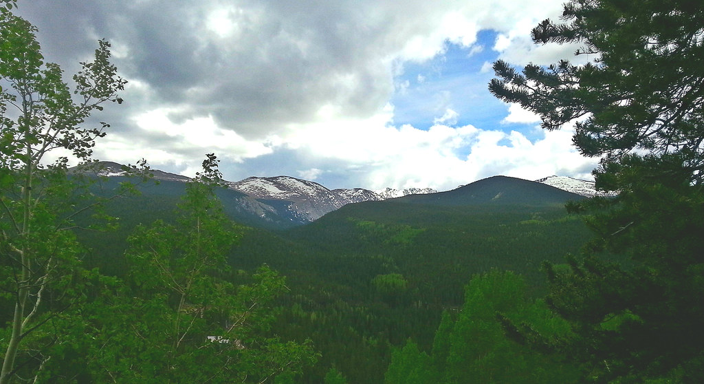 Photo: WasifMalik, CC BY 2.0 (via Flickr)
Captain Mountain
~7 min drive
16.48-mile out-and-back trail in Colorado reaching 10,622 ft.
 Photo: jtsmmm, CC BY 3.0 (via Wikimedia Commons)
Devil's Canyon
~5 min drive
3.43-mile out-and-back trail in Colorado with 1,366 ft gain and max elevation of 10,408 ft.
Photo: Vadim Manuylov, CC BY-SA 3.0 (via Wikimedia Commons)Zip Trail
~8 min drive
1.2-mile out-and-back hike in Colorado with 493 ft gain and 8,996 ft max elevation.
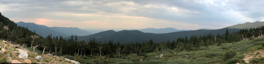 Photo: regexman, CC BY 2.0 (via Flickr)
Resthouse Meadows
~7 min drive
11.76-mile out-and-back trail in Colorado reaching 11,429 ft.
 Photo: jtsmmm, CC BY 3.0 (via Wikimedia Commons)
Devils Canyon Spur Trail
~6 min drive
3.1-mile out-and-back trail in Colorado with 1,437 ft gain and 10,567 ft max elevation.
 Photo: The original uploader was MattWright at English Wikipedia., CC BY 2.0 (via Wikimedia Commons)
Chicago Lakes Trail
~8 min drive
1.22-mile out-and-back trail in Colorado with 294 ft elevation gain and loss.
 Photo: cleong, CC BY-SA 2.0 (via Flickr)
Chicago Lakes
~10 min drive
8.02-mile out-and-back trail in Colorado reaching 12,870 ft.
Park at CHIEF MOUNTAIN.
About 1.5 mi from CHIEF MOUNTAIN (about 10,849 ft).
About 724 ft of climbing round trip.
It is rated easy.
CHIEF MOUNTAIN (about 10,849 ft).
Daily highs and lows, wind and the chance of precipitation at the summit and route start for the next 7 days, from the Open-Meteo model.

