


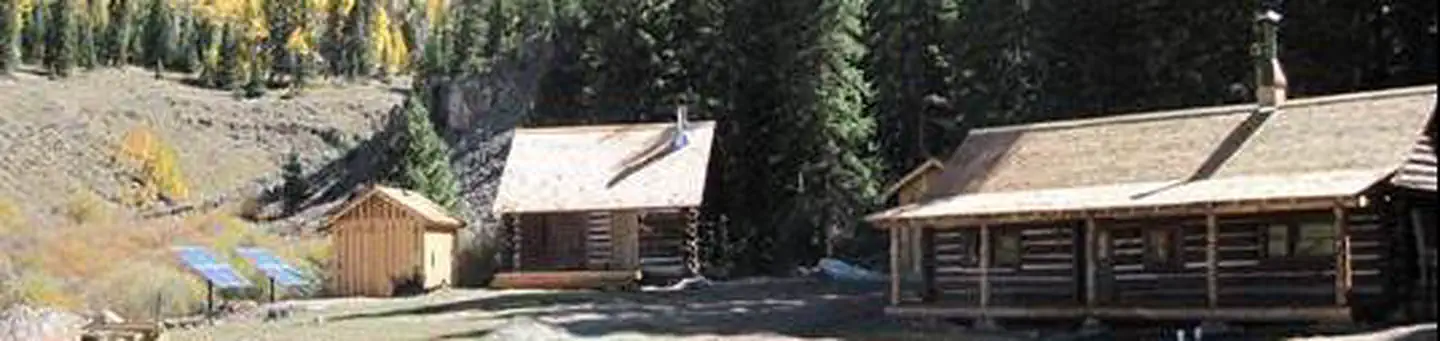
Grizzly RT RV Park
Hiking business nearby (~15 mi away) — hasn't claimed their Roamze page yet
Free — you'll pick up right here.
Watch this trail
Sign up to watch it — saving subscribes you to gate, closure and report changes.
Colorado
1.9 mi
Distance
97 ft
Gain
We won't guess. Here is exactly what we do and don't know.
What we do know
Inside Grand Mesa, Uncompahgre and Gunnison National Forests
3 managing-area boundaries mapped — agency alerts for them feed this page automatically.
Boundary data
What's missing
No access route mapped
We don't yet know which road reaches this trailhead, so we can't tell you if it's gated.
Nobody's filed a report here yet — be the first.
Why you'll love it
Independence Bypass
AI-suggested draft · review before you go
Independence Bypass is a 1.9-mile out-and-back trail located near Colorado in the Routt National Forest, managed by the Hahns Peak/Bears Ears Ranger District. This relatively short trail offers an accessible option for hikers looking to explore the northern Colorado backcountry without committing to a full-day adventure. The out-and-back format means you'll retrace your route on the return, making distance planning straightforward. The trail's modest mileage makes it suitable for a variety of fitness levels and ideal for those with limited time to spend on the trail. As part of the Routt National Forest system, this area provides access to the diverse landscapes characteristic of the Hahns Peak/Bears Ears region, known for its scenic mountain terrain. Whether you're based in nearby Colorado communities or passing through the area, Independence Bypass provides a quick hiking option in the national forest. For current conditions, trail maintenance updates, and any seasonal closures, contact the Hahns Peak/Bears Ears Ranger District directly before your visit.

Independence Gulch
~1 min drive
5.8 mi · Moderate
Little Elk
~4 min drive
24 mi · Hard

Thompson Lake
~6 min drive
0.3 mi · Easy

Uncompahgre Peak
~12 min drive
7.4 mi · Moderate
Larson Lakes
~7 min drive
14 mi · Hard
Big Blue Creek
~12 min drive
1.7 mi · Easy

Failes Creek
~15 min drive
11 mi · Moderate
Crystal Lake
~7 min drive
21 mi · Hard

Powderhorn Park
~18 min drive
3.0 mi · Easy
Big Park
~17 min drive
5.2 mi · Moderate
Local operatorsoffering guided trips. You book directly with them — Roamze doesn’t take a cut.
Grizzly RT RV Park
Hiking business nearby (~15 mi away) — hasn't claimed their Roamze page yet
Peak Mountain Guides
Hiking business nearby (~21 mi away) — hasn't claimed their Roamze page yet
Blue Creek Lodge
Hiking business nearby (~36 mi away) — hasn't claimed their Roamze page yet