Cannibal Plateau Trail
- 5.7 mi
- round trip
- 2,653 ft
- climb
- 12,596 ft
- high point
- Out and back
- route
Is Cannibal Plateau Trail open right now?
Closure in the area
There's a closure order in Grand Mesa, Uncompahgre and Gunnison National Forests. It doesn't name Cannibal Plateau Trail, so check the source for the area it covers (2 listed).
Gold Mountain Wildfire Roads and Trails Closure Order v 4.0
Agency closure covering Grand Mesa, Uncompahgre and Gunnison National Forests · USFS · Grand Mesa, Uncompahgre and Gunnison National Forests
Ophir Pass Road Closure
Agency closure covering Grand Mesa, Uncompahgre and Gunnison National Forests · USFS · Grand Mesa, Uncompahgre and Gunnison National Forests
Potter Basin Road Closure Order
Agency alert covering Grand Mesa, Uncompahgre and Gunnison National Forests · USFS · Grand Mesa, Uncompahgre and Gunnison National Forests
Beaver Park Road Closure Order
Agency alert covering Grand Mesa, Uncompahgre and Gunnison National Forests · USFS · Grand Mesa, Uncompahgre and Gunnison National Forests
TERMINATION OF ORDER - FIRE RESTRICTIONS
Agency alert covering Grand Mesa, Uncompahgre and Gunnison National Forests · USFS · Grand Mesa, Uncompahgre and Gunnison National Forests
As of · Source: USFS · Grand Mesa, Uncompahgre and Gunnison National Forests. Agencies don't list every closure — check before you go.
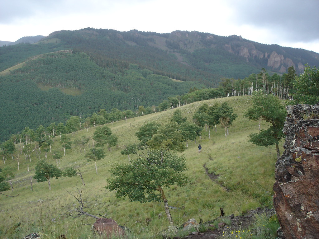
Cannibal Plateau Trail is an out-and-back hike in Colorado's Gunnison Ranger District, part of the Grand Mesa, Uncompahgre and Gunnison National Forests. The Forest Service manages the land, and the route is rated expert. The trail is about 11.4 miles long, with a total elevation gain of 2,653 feet, and the high point reaches 12,596 feet. The climb is rolling, but the steepest stretch comes at about 5 miles in, where the grade reaches 32 percent. The trail starts at an elevation of about 11,751 feet and ends at a similar level, so the round trip involves about 2,650 feet of climbing and the same amount of descent. Plan on about five hours for the trip. Brush Creek Trail lies about half a mile away, and Devils Canyon and Canyon Infierno are each about 2 miles off. For an overnight base, Deer Lakes Campground is about 3.7 miles away.
Local outfitters
- Grizzly RT RV Park14 mi away
- Peak Mountain Guides24 mi away
Not on Roamze yet. Their page has how to reach them.
- Brush Creek TrailHiking0.5 mi
- Devils CanyonHiking2.1 mi
- CANYON INFIERNOHiking2.1 mi
- Horse Park TrailHiking2.8 mi
- Deer Lakes CampgroundCamping3.7 mi
- Elkhorn RV ResortCamping4.8 mi
- Slumgullion CampgroundCamping5 mi
 Cebolla CreekCanoeingPhoto: Jeffrey Beall, CC BY 4.0 (via Wikimedia Commons)9.8 mi
Source: Roamze catalog (indexable pages within 10 miles, PostGIS distance)
 Independence GulchHiking · ~8 min drivePhoto: gregmote, CC BY 2.0 (via Flickr)
 Lake To Lake TrailHiking · ~9 min drivePhoto: JustTooLazy, CC BY 2.0 (via Flickr)
 Sheep MountainHiking · ~18 min drivePhoto: kalestews, CC BY 2.0 (via Flickr)
- CANYON INFIERNOHiking · ~4 min drive
- Brush Creek TrailHiking · Next door
- Big Blue CreekHiking · ~18 min drivePhoto: kalestews, CC BY 2.0 (via Flickr)
- Silver MountainHiking · ~18 min drivePhoto: kalestews, CC BY 2.0 (via Flickr)
- Horse Park TrailHiking · ~5 min drive
- BRUSH CREEKHiking · ~5 min drive
- Independence BypassHiking · ~8 min drivePhoto: gregmote, CC BY 2.0 (via Flickr)


Map and trail data © OpenStreetMap contributors
