Nellie Creek
Campground
Campground · 3.0 mi from the trail
 Photo: kalestews, CC BY 2.0 (via Flickr)
Closure in the area
There's a closure order in Grand Mesa, Uncompahgre and Gunnison National Forests. It doesn't name Sheep Mountain, so check the source for the area it covers (2 listed).
Gold Mountain Wildfire Roads and Trails Closure Order v 4.0
Agency closure covering Grand Mesa, Uncompahgre and Gunnison National Forests · USFS · Grand Mesa, Uncompahgre and Gunnison National Forests
Ophir Pass Road Closure
Agency closure covering Grand Mesa, Uncompahgre and Gunnison National Forests · USFS · Grand Mesa, Uncompahgre and Gunnison National Forests
Potter Basin and Beaver Park Roads Emergency Closures
Agency alert covering Grand Mesa, Uncompahgre and Gunnison National Forests · USFS · Grand Mesa, Uncompahgre and Gunnison National Forests
TERMINATION OF ORDER - FIRE RESTRICTIONS
Agency alert covering Grand Mesa, Uncompahgre and Gunnison National Forests · USFS · Grand Mesa, Uncompahgre and Gunnison National Forests
Dallas Area Closure order
Agency alert covering Grand Mesa, Uncompahgre and Gunnison National Forests · USFS · Grand Mesa, Uncompahgre and Gunnison National Forests
As of · Source: USFS · Grand Mesa, Uncompahgre and Gunnison National Forests. Agencies don't list every closure — check before you go.
Sheep Mountain is a high-elevation out-and-back hike in Colorado's Gunnison Ranger District, part of the Grand Mesa, Uncompahgre and Gunnison National Forests. The route runs about 24.6 miles and gains and loses a total of 8,916 feet over the course of the trip, which makes it a serious commitment. The high point on the route is 13,176 feet. The climb is rated expert, and the trip is estimated to take about 12.5 hours. The route starts and ends in the same place, so there is no need for a return trip. Silver Mountain and Uncompahgre Peak both sit about a tenth of a mile away, and Nellie Creek Campground is about 3 miles off. The Creamy Salmon Wall climbing area is about 3.7 miles away.
Nellie Creek
Campground
Smuggler Union Tramhouse
Attraction
Places © OpenStreetMap contributors
More in TellurideNot on Roamze yet. Their page has how to reach them.
Photo: kalestews, CC BY 2.0 (via Flickr)Big Blue Creek
~2 min drive
1.66-mile out-and-back trail in Colorado with 178 ft elevation gain.
 Photo: John Sowell, CC BY-SA 4.0 (via Wikimedia Commons)
Wetterhorn Peak Trail #256
~7 min drive
2.62-mile out-and-back to Wetterhorn Peak with 1,304 ft gain
Photo: John Sowell, CC BY-SA 4.0 (via Wikimedia Commons)MATTERHORN CUTOFF
~7 min drive
2.12-mile out-and-back trail in Colorado with 960 ft gain and 12,265 ft max elevation.
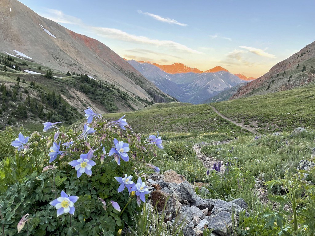 Photo: kalestews, CC BY 2.0 (via Flickr)
Sunshine Peak Climber's Route
~14 min drive
4.66-mile out-and-back trail to Sunshine Peak with 2,793 ft gain.
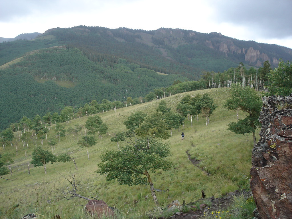 Photo: gregmote, CC BY 2.0 (via Flickr)
Independence Bypass
~12 min drive
1.85-mile out-and-back trail in Colorado with 97 ft of elevation gain.
Photo: John Sowell, CC BY-SA 4.0 (via Wikimedia Commons)Broken Hill
~7 min drive
Route to the summit of Broken Hill (13,215 ft) from Matterhorn Trailhead.
Photo: gregmote, CC BY 2.0 (via Flickr)Independence Gulch
~13 min drive
5.84-mile out-and-back trail in Colorado with 1,742 ft elevation gain.
HIKE
Uncompahgre Peak
Next door
7.37-mile out-and-back to Uncompahgre Peak in Colorado gains 3,074 ft.
 Photo: JustTooLazy, CC BY 2.0 (via Flickr)
Lake To Lake Trail
~15 min drive
0.74-mile out-and-back hike in Colorado with 97 ft elevation gain.
HIKE
El Paso Creek
~3 min drive
9.44-mile out-and-back trail in Colorado at 12,224 ft elevation.
About 24.6 mi round trip from Nellie Creek Trailhead.
About 8,916 ft of climbing round trip.
It is rated expert.
Nellie Creek Trailhead.
Daily highs and lows, wind and the chance of precipitation at the summit and route start for the next 7 days, from the Open-Meteo model.
© openrouteservice.org by HeiGIT | Map data © OpenStreetMap contributors


