Larson Lakes
- 13.9 mi
- round trip
- 2,626 ft
- climb
- 12,101 ft
- high point
- Out and back
- route
Larson Lakes is a 14.0-mile out-and-back trail located in Colorado near the town of Colorado, managed by Routt National Forest's Hahns Peak/Bears Ears Ranger District. The trail provides access to the scenic Larson Lakes area within the national forest. This out-and-back route allows hikers to explore the landscape at their own pace, with the flexibility to turn back at any point. The trail is situated in the Hahns Peak/Bears Ears area, known for its diverse terrain and mountain scenery typical of northern Colorado's national forest lands. The 14-mile distance makes this a moderately long day hike suitable for hikers with adequate endurance. Specific elevation gain data is not available, but hikers should prepare for typical Rocky Mountain terrain. The trail's management by the Routt National Forest ensures maintained conditions and adherence to federal land regulations. Before heading out, check with the Hahns Peak/Bears Ears Ranger District for current trail conditions, seasonal closures, and any required permits. Spring runoff and winter weather can significantly impact trail accessibility in this region.
Keep exploring — more trails worth the drive
 Photo: JustTooLazy, CC BY 2.0 (via Flickr)
Lake To Lake Trail
~6 min drive
0.74-mile out-and-back hike in Colorado with 97 ft elevation gain.
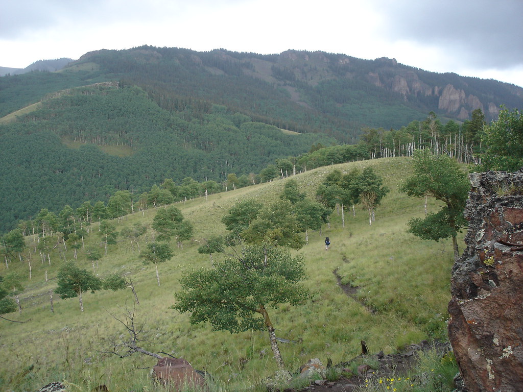 Photo: gregmote, CC BY 2.0 (via Flickr)
Independence Gulch
~7 min drive
5.84-mile out-and-back trail in Colorado with 1,742 ft elevation gain.
 Photo: kalestews, CC BY 2.0 (via Flickr)
Sheep Mountain
~10 min drive
Route to the summit of Sheep Mountain (13,176 ft) from Nellie Creek Trailhead.
 Photo: John Sowell, CC BY-SA 4.0 (via Wikimedia Commons)
Broken Hill
~16 min drive
Route to the summit of Broken Hill (13,215 ft) from Matterhorn Trailhead.
Photo: gregmote, CC BY 2.0 (via Flickr)Independence Bypass
~7 min drive
1.85-mile out-and-back trail in Colorado with 97 ft of elevation gain.
HIKE
Waterdog Lake Trail (3317T)
~3 min drive
5.2-mile out-and-back trail in Colorado with 1,244 ft elevation gain and loss.
Photo: kalestews, CC BY 2.0 (via Flickr)Silver Mountain
~10 min drive
Route to the summit of Silver Mountain (13,701 ft) from Nellie Creek Trailhead.
HIKE
Crystal Lake
Next door
20.69-mile out-and-back trail to Crystal Lake in Colorado, 1,979 ft gain.
Photo: kalestews, CC BY 2.0 (via Flickr)Big Blue Creek
~11 min drive
1.66-mile out-and-back trail in Colorado with 178 ft elevation gain.
HIKE
Brush Creek Trail
~9 min drive
7.02-mile out-and-back hike in Colorado with 1,857 ft elevation gain and loss.

