Larson Lake Cutoff
- 0.4 mi
- round trip
- 261 ft
- climb
- 11,160 ft
- high point
- Out and back
- route
- Jun, Sep
- best months
Is Larson Lake Cutoff open right now?
Closure in the area
There's a closure order in Grand Mesa, Uncompahgre and Gunnison National Forests. It doesn't name Larson Lake Cutoff, so check the source for the area it covers (2 listed).
Gold Mountain Wildfire Roads and Trails Closure Order v 4.0
Agency closure covering Grand Mesa, Uncompahgre and Gunnison National Forests · USFS · Grand Mesa, Uncompahgre and Gunnison National Forests
Ophir Pass Road Closure
Agency closure covering Grand Mesa, Uncompahgre and Gunnison National Forests · USFS · Grand Mesa, Uncompahgre and Gunnison National Forests
Potter Basin and Beaver Park Roads Emergency Closures
Agency alert covering Grand Mesa, Uncompahgre and Gunnison National Forests · USFS · Grand Mesa, Uncompahgre and Gunnison National Forests
TERMINATION OF ORDER - FIRE RESTRICTIONS
Agency alert covering Grand Mesa, Uncompahgre and Gunnison National Forests · USFS · Grand Mesa, Uncompahgre and Gunnison National Forests
Dallas Area Closure order
Agency alert covering Grand Mesa, Uncompahgre and Gunnison National Forests · USFS · Grand Mesa, Uncompahgre and Gunnison National Forests
As of · Source: USFS · Grand Mesa, Uncompahgre and Gunnison National Forests. Agencies don't list every closure — check before you go.
Larson Lake Cutoff is a short out-and-back trail in Colorado covering 0.74 miles with 261 feet of elevation gain. The route reaches a maximum elevation of 11,160 feet.
Local outfitters
- Grizzly RT RV Park12 mi away
- Peak Mountain Guides18 mi away
Not on Roamze yet. Their page has how to reach them.
- Nearby · Independence Bypass · Independence Gulch · Sheep Mountain
Best time to go · Jun, Sep
Best time to visit Larson Lake Cutoff
Best months: June and September. Best months have typical highs of 55–85 °F, lows of 30 °F or warmer (32 °F where the station doesn't record snow), at most one snowy day and no more than 12 wet days.
Jan
35° / 2°
7 wet
Feb
36° / 3°
7 wet
Mar
42° / 12°
7 wet
Apr
48° / 19°
7 wet
May
58° / 27°
8 wet
Jun
68° / 34°
7 wet
Jul
72° / 40°
15 wet
Aug
70° / 39°
15 wet
Sep
64° / 33°
11 wet
Oct
55° / 23°
7 wet
Nov
43° / 13°
5 wet
Dec
34° / 2°
7 wet
Typical high / low (°F) and days with rain or snow, 1991–2020. Measured at Santa Maria Rsvr, CO, 21.9 mi away at 9,687 ft. The station sits about 1,500 ft lower than this place, so expect it a little cooler here. This station doesn't record snowfall. Source: NOAA NCEI U.S. Climate Normals 1991–2020.
Keep exploring — more trails worth the drive
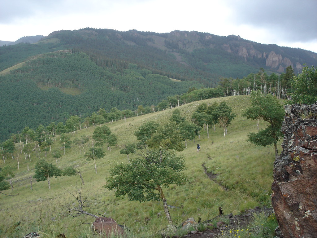 Photo: gregmote, CC BY 2.0 (via Flickr)
Independence Bypass
~5 min drive
1.85-mile out-and-back trail in Colorado with 97 ft of elevation gain.
Photo: gregmote, CC BY 2.0 (via Flickr)Independence Gulch
~6 min drive
5.84-mile out-and-back trail in Colorado with 1,742 ft elevation gain.
 Photo: kalestews, CC BY 2.0 (via Flickr)
Sheep Mountain
~7 min drive
Route to the summit of Sheep Mountain (13,176 ft) from Nellie Creek Trailhead.
 Photo: John Sowell, CC BY-SA 4.0 (via Wikimedia Commons)
Wetterhorn Peak Trail #256
~13 min drive
2.62-mile out-and-back to Wetterhorn Peak with 1,304 ft gain
Photo: kalestews, CC BY 2.0 (via Flickr)Big Blue Creek
~7 min drive
1.66-mile out-and-back trail in Colorado with 178 ft elevation gain.
Photo: John Sowell, CC BY-SA 4.0 (via Wikimedia Commons)MATTERHORN CUTOFF
~14 min drive
2.12-mile out-and-back trail in Colorado with 960 ft gain and 12,265 ft max elevation.
Photo: kalestews, CC BY 2.0 (via Flickr)Silver Mountain
~7 min drive
Route to the summit of Silver Mountain (13,701 ft) from Nellie Creek Trailhead.
Photo: John Sowell, CC BY-SA 4.0 (via Wikimedia Commons)Broken Hill
~14 min drive
Route to the summit of Broken Hill (13,215 ft) from Matterhorn Trailhead.
 Photo: JustTooLazy, CC BY 2.0 (via Flickr)
Lake To Lake Trail
~11 min drive
0.74-mile out-and-back hike in Colorado with 97 ft elevation gain.
HIKE
Waterdog Lake Trail (3317T)
~8 min drive
5.2-mile out-and-back trail in Colorado with 1,244 ft elevation gain and loss.

Map and trail data © OpenStreetMap contributors
