
Alpine Lodge at Red Feather Lakes
Hiking business nearby (~15 mi away) — hasn't claimed their Roamze page yet
Free — you'll pick up right here.
Watch this trail
Sign up to watch it — saving subscribes you to gate, closure and report changes.
Colorado
10.1 mi
Distance
2,524 ft
Gain
We won't guess. Here is exactly what we do and don't know.
What we do know
Inside Arapaho and Roosevelt National Forests
3 managing-area boundaries mapped — agency alerts for them feed this page automatically.
Boundary data
What's missing
No access route mapped
We don't yet know which road reaches this trailhead, so we can't tell you if it's gated.
Nobody's filed a report here yet — be the first.
Why you'll love it
Hourglass
AI-suggested draft · review before you go
The Hourglass Trail is a 10.1-mile out-and-back route located in Colorado near the town of Colorado, within White River National Forest under the Eagle-Holy Cross Ranger District. This moderate-distance hike takes visitors through the managed lands of White River NF, offering access to the forest's diverse terrain and scenery. The trail's out-and-back format makes it straightforward for hikers to choose their own turnaround point, with the full distance covering 10.1 miles round trip. The White River NF manages this area to balance recreation with forest stewardship, and the Eagle-Holy Cross Ranger District oversees trail maintenance and resource management. Hikers should contact the Eagle-Holy Cross Ranger District or White River NF directly for specific information about current trail conditions, seasonal closures, and any permit requirements. The National Forest Service provides detailed maps and resources for planning your visit. This trail offers a solid option for those seeking a full-day hike in the White River National Forest.

Comanche Lake
~3 min drive
2.3 mi · Easy

Little Beaver Creek Trail
~9 min drive
A 13.55-mile out-and-back trail in Colorado for dedicated hikers.
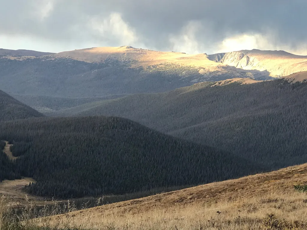
Medicine Bow Curve
~18 min drive
<p>Medicine Bow Curve provides a great location to view the northernmost areas of Rocky Mountain National Park.</p> <p>Looking to the horizon, visitors will see the Medicine Bow Mountains and the state of Wyoming. The Cache la Poudre river can clearly be seen flowing through t…

Chambers Lake
~19 min drive
3.1 mi · Moderate

Little Fish
~10 min drive
1.0 mi · Easy
Little Beaver Creek Trail
~9 min drive
14 mi · Hard
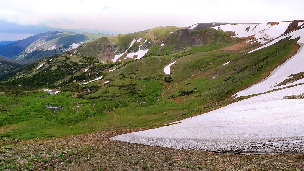
Trail Ridge Store
~19 min drive
<p>At 11,796 feet, the Alpine Visitor Center is the highest visitor center in the National Park Service!</p> <p>Usually only open from May to October, it is chilly even in the heart of summer, so make sure to bring layers or even a hat. Located on Trail Ridge Road in the alpin…

Ute Trail
~19 min drive
9.2 mi · Moderate

Jacks Gulch Cg Loop Trail
~12 min drive
1.1 mi · Easy

Fish Creek
~11 min drive
13 mi · Hard
Local operatorsoffering guided trips. You book directly with them — Roamze doesn’t take a cut.
Alpine Lodge at Red Feather Lakes
Hiking business nearby (~15 mi away) — hasn't claimed their Roamze page yet
Wildcat Mountaineering
Hiking business nearby (~31 mi away) — hasn't claimed their Roamze page yet