
Wildcat Mountaineering
Hiking business nearby (~33 mi away) — hasn't claimed their Roamze page yet
Free — you'll pick up right here.
Save this plan
Sign up to save your own editable copy — you'll pick up right here.
Colorado
13.5 mi
Distance
1,395 ft
Gain
No conditions check on file for this trail yet — always verify current conditions before you go.
Why you'll love it
Beaver Creek
AI-suggested draft · review before you go
Beaver Creek is a 13.8-mile out-and-back trail located in Colorado near the White River National Forest, Blanco Ranger District. The trail offers an extended hiking experience through the national forest landscape. This out-and-back route allows hikers to turn around at any point, making it flexible for different fitness levels and time constraints. The full distance of 13.8 miles provides a substantial day hike for those seeking a longer adventure. The trail is maintained by the White River National Forest, Blanco Ranger District, ensuring regular upkeep and management. Beaver Creek is situated in the heart of Colorado's national forest system, providing access to the region's natural environment. The out-and-back format means your return journey follows the same path, allowing you to experience the scenery from different perspectives throughout the day. For current conditions, trail updates, and additional details about parking and trailhead access, contact the Blanco Ranger District of the White River National Forest directly.

Comanche Lake
~1 min drive
2.3 mi · Easy
Hourglass
~4 min drive
10 mi · Hard

Chambers Lake
~15 min drive
3.1 mi · Moderate
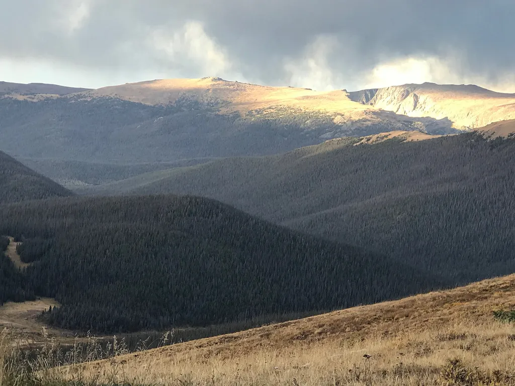
Medicine Bow Curve
~18 min drive
<p>Medicine Bow Curve provides a great location to view the northernmost areas of Rocky Mountain National Park.</p> <p>Looking to the horizon, visitors will see the Medicine Bow Mountains and the state of Wyoming. The Cache la Poudre river can clearly be seen flowing through t…

Little Fish
~13 min drive
1.0 mi · Easy

Little Beaver Creek Trail
~9 min drive
A 13.55-mile out-and-back trail in Colorado for dedicated hikers.

Neota Creek
~18 min drive
3.1 mi · Moderate

Jacks Gulch Cg Loop Trail
~15 min drive
1.1 mi · Easy
Little Beaver Creek Trail
~9 min drive
14 mi · Hard

Montgomery Pass
~19 min drive
An easy 5.49-mile out-and-back trail in Colorado featuring dirt road and rocky terrain, with connections to Montgomery Pass East.
Local operatorsoffering guided trips. You book directly with them — Roamze doesn’t take a cut.
Wildcat Mountaineering
Hiking business nearby (~33 mi away) — hasn't claimed their Roamze page yet