Grizzly Helena Trail 1126.1
- 0.8 mi
- round trip
- 131 ft
- climb
- 8,651 ft
- high point
- Out and back
- route
- Jun–Aug
- best months
Is Grizzly Helena Trail 1126.1 open right now?
Alert in the area
The Forest Service lists 3 alerts for Medicine Bow-Routt National Forest.
Access Impact: Big Creek Lakes Dam Project
Agency alert covering Medicine Bow-Routt National Forest · USFS · Medicine Bow-Routt National Forest
Trail & Access Impact: Stillwater Reservoir Project
Agency alert covering Medicine Bow-Routt National Forest · USFS · Medicine Bow-Routt National Forest
Snowy Range - 2026 Active Vegetation Operations
Agency alert covering Medicine Bow-Routt National Forest · USFS · Medicine Bow-Routt National Forest
As of · Source: USFS · Medicine Bow-Routt National Forest. Agencies don't list every closure — check before you go.
Grizzly Helena Trail 1126.1 is a short, easy hike of about 0.75 miles on the Parks Ranger District of the Medicine Bow-Routt National Forest in Colorado, managed by the Forest Service. The trail is an out-and-back, and it rises from a starting point at about 8,617 feet to a high point of about 8,651 feet, with a total elevation gain of roughly 131 feet over the round trip. Summer is the most comfortable time to go. Typical July averages from a nearby weather station at Walden run to a high of about 76°F and a low of about 38°F. That station sits roughly 600 feet lower than the trail, so temperatures on the trail run a little cooler. The hike takes about half an hour, and it pairs well with other outings close by. Frying Pan Basin lies about 1.8 miles away and Seven Lakes about 3.7 miles. Big Creek Lakes Campground and Big Creek Lake Boat Access are both about 4 miles off.
Local outfitters
- Deer Haven RV Park41 mi away
Not on Roamze yet. Their page has how to reach them.
- Frying Pan BasinHiking1.8 mi
- Seven LakesHiking3.7 mi
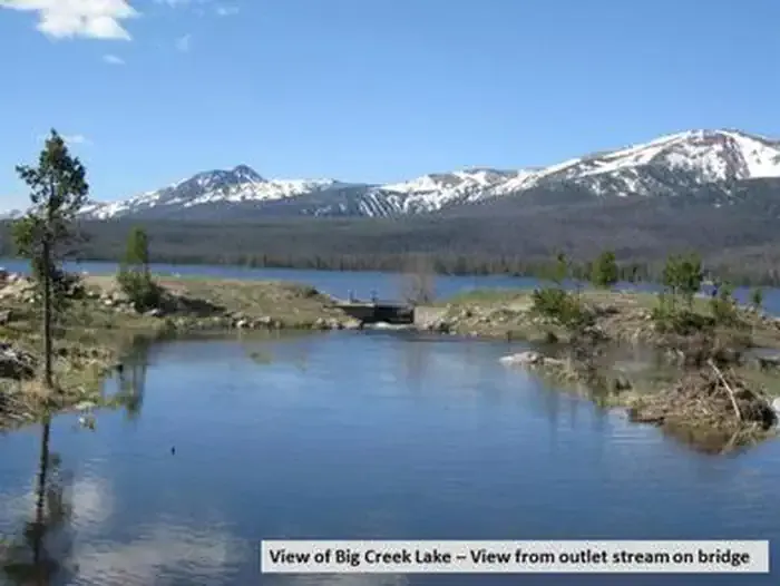 Big Creek Lakes CampgroundCampingPhoto: Recreation.gov (RIDB) / public domain4 mi
- Big Creek Lake Boat AccessLake fishing4 mi
- Blue LakeHiking4.1 mi
- South Fork Big CreekCanoeing5.3 mi
- Mica BasinRock climbing6.9 mi
- Lake John CampsiteCamping8.2 mi
Source: Roamze catalog (indexable pages within 10 miles, PostGIS distance)
 Bear LakesHiking · ~13 min drivePhoto: brewbooks from near Seattle, USA, CC BY-SA 2.0 (via Wikimedia Commons)
 Gold Creek LakeHiking · ~15 min drivePhoto: brewbooks, CC BY-SA 2.0 (via Flickr)
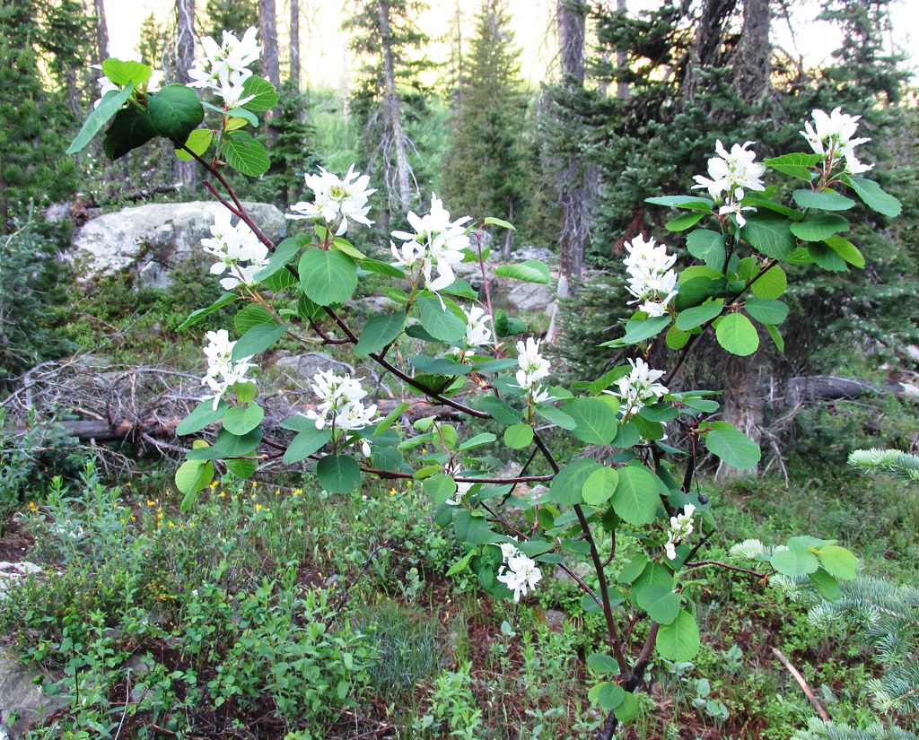 Mica BasinHiking · ~16 min drivePhoto: brewbooks, CC BY-SA 2.0 (via Flickr)
- Big Creek Lakes LoopHiking · ~6 min drive
- GilpinHiking · ~16 min drivePhoto: brewbooks, CC BY-SA 2.0 (via Flickr)
- Blue LakeHiking · ~7 min drive
- Main Fork TrailHiking · ~16 min drive
- Wyoming TrailHiking · ~17 min drivePhoto: brewbooks, CC BY-SA 2.0 (via Flickr)
- Red Dirt PassHiking · ~12 min drive
- BIGHORN LAKEHiking · ~17 min drive
Best time to visit Grizzly Helena Trail 1126.1
Best months: June–August. Best months have typical highs of 55–85 °F, lows of 30 °F or warmer (32 °F where the station doesn't record snow), at most one snowy day and no more than 12 wet days.
Jan
27° / 2°
8 wet
Feb
30° / 4°
8 wet
Mar
39° / 13°
8 wet
Apr
47° / 20°
9 wet
May
58° / 28°
10 wet
Jun
69° / 34°
9 wet
Jul
76° / 38°
10 wet
Aug
74° / 36°
10 wet
Sep
66° / 29°
8 wet
Oct
53° / 21°
7 wet
Nov
38° / 12°
8 wet
Dec
28° / 3°
8 wet
Typical high / low (°F) and days with rain or snow, 1991–2020. Measured at Walden, CO, 18.3 mi away at 8,056 ft. The station sits about 600 ft lower than this place, so expect it a little cooler here. This station doesn't record snowfall. Source: NOAA NCEI U.S. Climate Normals 1991–2020.

Map and trail data © OpenStreetMap contributors
