Gravel Mountain
- 0.6 mi
- round trip
- 506 ft
- climb
- 10,892 ft
- high point
- Out and back
- route
Is GRAVEL MOUNTAIN open right now?
Alert in the area
The Forest Service lists 3 alerts for Arapaho and Roosevelt National Forests.
Fire Restrictions
Agency alert covering Arapaho and Roosevelt National Forests · USFS · Arapaho and Roosevelt National Forests
Fire Restrictions
Agency alert covering Sulphur Ranger District · USFS · Sulphur Ranger District
Permanent Recreational Shooting Order
Agency alert covering Sulphur Ranger District · Order 02-10-00-25-02 · USFS · Sulphur Ranger District
As of · Source: USFS · Arapaho and Roosevelt National Forests. Agencies don't list every closure — check before you go.
Gravel Mountain is an easy out-and-back hike on the Forest Service land of the Sulphur Ranger District, part of the Arapaho and Roosevelt National Forests in Colorado. The route is about 1.3 miles long, with a total elevation gain of 506 feet, and it starts and ends at roughly 10,615 feet, peaking at about 10,892 feet. The climb is rolling, and the steepest stretch comes around the halfway point at about 0.52 miles, where the grade reaches about 12 percent. The trip takes about half an hour. Because the hike is short and the elevation gain is modest, it pairs easily with time on the mountain biking trails nearby, and the Wolverine hike is about a mile away. Stillwater Pass, a mountain biking route, sits just 0.2 miles from the trail, and the Gilsonite Trail is about a mile off. Sawmill Gulch Campground is about 5.5 miles away, and the Colorado River offers paddling about 4.8 miles out.
Local outfitters
- Wildcat Mountaineering37 mi away
- Camp Always Choose Adventures39 mi away
Not on Roamze yet. Their page has how to reach them.
 Stillwater PassMountain bikingPhoto: inkknife_2000 (7.5 million views +), CC BY-SA 2.0 (via Wikimedia Commons)0.2 mi
- Gilsonite TrailMountain biking1 mi
- WolverineHiking1.1 mi
 Willow CreekCanoeingPhoto: Jeffrey Beall, CC BY 4.0 (via Wikimedia Commons)3.4 mi
- Colorado RiverCanoeing4.8 mi
- Sawmill Gulch CampgroundCamping5.5 mi
- Denver Creek CampgroundCamping5.7 mi
- Grand LakeRock climbing8.6 mi
Source: Roamze catalog (indexable pages within 10 miles, PostGIS distance)
 Gilsonite TrailHiking · ~2 min drivePhoto: Thomas — CC BY-SA 2.0 (via Flickr)
- Pony Park TrailHiking · ~5 min drivePhoto: Thomas — CC BY-SA 2.0 (via Flickr)
- Blue RidgeHiking · ~5 min drive
- KAUFFMAN CREEKHiking · ~9 min drive
 Beaver Line TrailHiking · ~7 min drivePhoto: Maria Vorontsova, Public Domain Dedication (CC0) (via Flickr)
- Blizzard Pass TrailHiking · ~8 min drivePhoto: Thomas — CC BY-SA 2.0 (via Flickr)
- NORTH SUPPLY LOOPHiking · ~6 min drive
- LITTLE GRAVEL MOUNTAIN SPURHiking · ~9 min drive
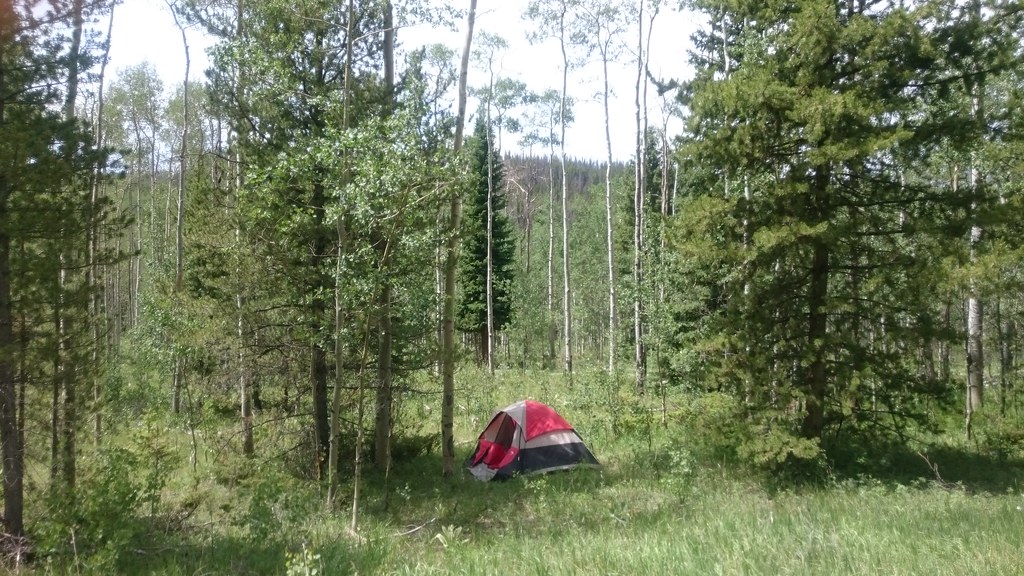 Trail Creek Spur TrailHiking · ~7 min drivePhoto: Maria Vorontsova, Public Domain Dedication (CC0) (via Flickr)
- WolverineHiking · ~2 min drive
Also worth it near here
- Stillwater PassMountain biking · Next doorPhoto: inkknife_2000 (7.5 million views +), CC BY-SA 2.0 (via Wikimedia Commons)
- Willow CreekCanoeing · ~6 min drivePhoto: Jeffrey Beall, CC BY 4.0 (via Wikimedia Commons)
- Sawmill Gulch CampgroundCamping · ~9 min drive
 River Run LoopCross-country skiing · ~10 min drivePhoto: Don Graham from Redlands, CA, USA - God bless it!, CC BY-SA 2.0 (via Wikimedia Commons)
