Kelly Creek
- 8.3 mi
- round trip
- 1,740 ft
- climb
- 10,783 ft
- high point
- Out and back
- route
Is Kelly Creek open right now?
Closure in the area
There's a closure order in Rio Grande National Forest. It doesn't name Kelly Creek, so check the source for the area it covers.
Closures and dangerous conditions on roads, bridges, and trails from flooding
Agency closure covering Rio Grande National Forest · USFS · Rio Grande National Forest
As of · Source: USFS · Rio Grande National Forest. Agencies don't list every closure — check before you go.
Kelly Creek is an out-and-back hike of about 8.3 miles in the Saguache Ranger District of Colorado's Rio Grande National Forest, managed by the Forest Service. The trail rises from a low point of about 9,040 feet to a high of about 10,783 feet, with a total elevation gain of about 1,740 feet. It is rated hard. The trail is on natural surface, and both horses and bikes are allowed. That makes it a versatile route for riders and pack animals as well as hikers. Cottonwood, a hike about 1.2 miles away, is the closest neighbor. Clayton Camp, about 4.5 miles off, offers camping. Elk Horn and San Luis Valley Campground, both within about 6 miles, are other options for an overnight stay.
Local outfitters
- San Luis Valley Campground6 mi away
- Black Bear Retreat17 mi away
Not on Roamze yet. Their page has how to reach them.
- CottonwoodHiking1.2 mi
- Clayton CampCamping4.5 mi
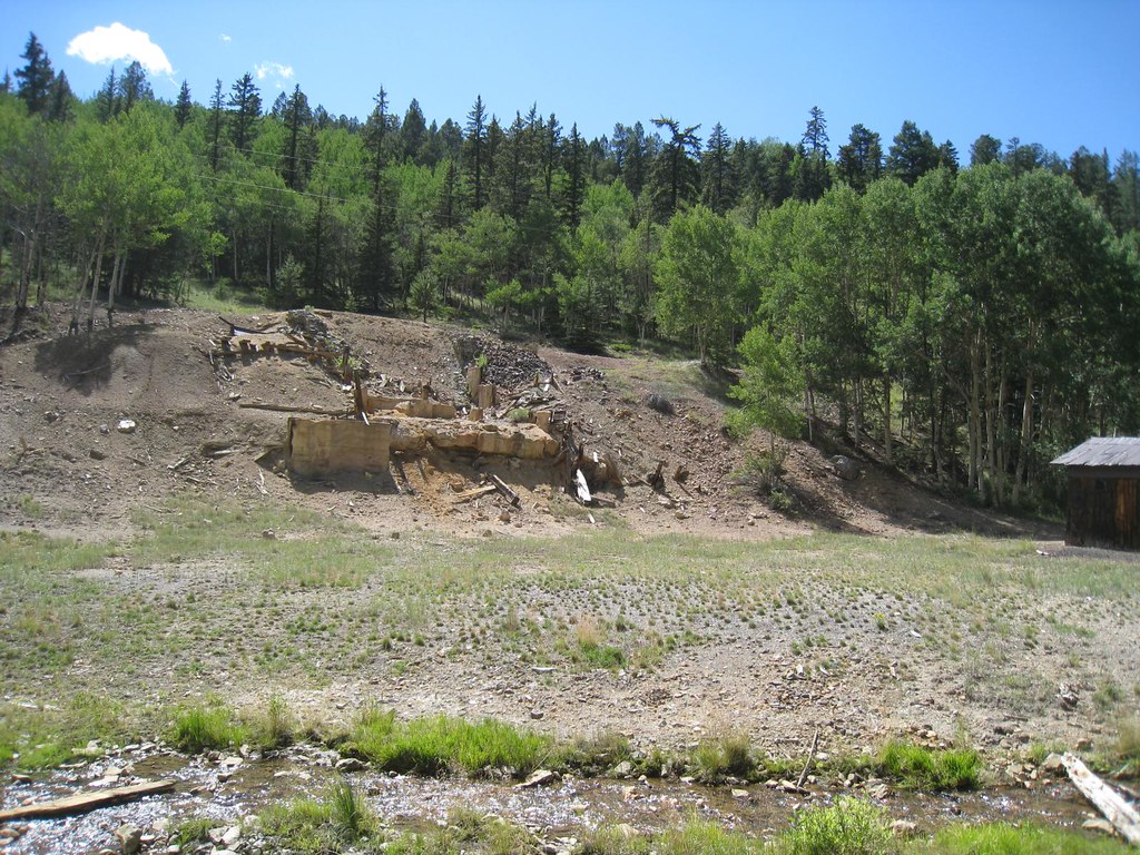 Elk HornHikingPhoto: GSEC, CC BY 2.0 (via Flickr)5.4 mi
- San Luis Valley CampgroundCamping6.2 mi
- Brewery Creek CabinCamping6.8 mi
- Brewery Creek Guard StationCamping6.8 mi
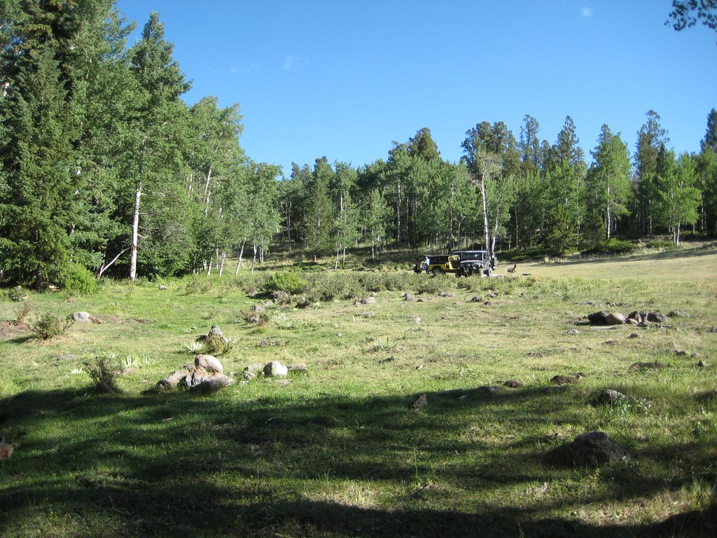 FlagstaffHikingPhoto: GSEC, CC BY 2.0 (via Flickr)7.2 mi
- Antora CreekHikingPhoto: GSEC, CC BY 2.0 (via Flickr)7.5 mi
Source: Roamze catalog (indexable pages within 10 miles, PostGIS distance)
- Elk HornHiking · ~9 min drivePhoto: GSEC, CC BY 2.0 (via Flickr)
- Antora CreekHiking · ~13 min drivePhoto: GSEC, CC BY 2.0 (via Flickr)
 Electric PeakHiking · ~23 min drivePhoto: lamblukas, CC BY 2.0 (via Flickr)
 Agate CreekHiking · ~27 min drivePhoto: jl_2, CC BY-SA 2.0 (via Flickr)
- FlagstaffHiking · ~12 min drivePhoto: GSEC, CC BY 2.0 (via Flickr)
- CottonwoodHiking · ~2 min drive
- Cottonwood PeakHiking · ~24 min drivePhoto: lamblukas, CC BY 2.0 (via Flickr)
- Black CanyonHiking · ~19 min drive
- Brewery CreekHiking · ~13 min drivePhoto: GSEC, CC BY 2.0 (via Flickr)
- Round HillHiking · ~18 min drive
Also worth it near here


