Primitive Campsite near Ice Lake (San Juan National Forest)
Campground
Campground · 2.9 mi from the trail
 Photo: John Fowler from Placitas, NM, USA, CC BY 2.0 (via Wikimedia Commons)
Closure in the area
There's a closure order in Columbine Ranger District. It doesn't name Columbine Lake Trail, so check the source for the area it covers (5 listed).
Pagosa Ranger District Road Closure
Agency closure covering Columbine Ranger District · Order 02-13-08-26-17 · USFS · Columbine Ranger District
COLUMBINE RANGER DISTRICT Road Closure
Agency closure covering Columbine Ranger District · Order 02-13-08-26-18 · USFS · Columbine Ranger District
Travel is not advised to the San Juan NF
Agency closure covering San Juan National Forest · USFS · San Juan National Forest
Closures and dangerous conditions on roads, bridges, and trails from flooding
Agency closure covering San Juan National Forest · USFS · San Juan National Forest
Multiple roads and trails damaged by flooding on SJNF
Agency closure covering San Juan National Forest · USFS · San Juan National Forest
As of · Source: USFS · Columbine Ranger District. Agencies don't list every closure — check before you go.
Columbine Lake Trail is a 3.7-mile out-and-back hike in Colorado's San Juan National Forest, within the Columbine Ranger District. It is managed by the Forest Service and rated hard. The round trip climbs about 2,036 feet, with the steepest stretch at 1.2 miles in, where the grade reaches 36 percent. The trail starts at roughly 12,500 feet and peaks near 12,627 feet. That makes it a steep, steady climb with roughly equal gain and loss, and the route takes about 2.5 hours to complete. Several other destinations sit within a few miles. Lewis Mine, a mountain biking spot, is about 1.5 miles away, and the Blixt hike is about 1.8 miles off. Primitive Camping and the Sultan Designated Camping Area offer places to stay, both within about 4 miles.
Primitive Campsite near Ice Lake (San Juan National Forest)
Campground
Little Hawaii Grotto
Attraction
Places © OpenStreetMap contributors, Places © Overture Maps Foundation
More in TellurideNot on Roamze yet. Their page has how to reach them.
 Lewis MineMountain bikingPhoto: John Fowler from Placitas, NM, USA, CC BY 2.0 (via Wikimedia Commons)1.5 mi
 Primitive CampingCampingPhoto: John Fowler from Placitas, NM, USA, CC BY 2.0 (via Wikimedia Commons)2.9 mi
 Main WallRock climbingPhoto: Lars Plougmann, CC BY-SA 2.0 (via Flickr)3.9 miStreaked WallRock climbingPhoto: Lars Plougmann, CC BY-SA 2.0 (via Flickr)3.9 mi
Source: Roamze catalog (indexable pages within 10 miles, PostGIS distance)
Swamp CanyonHiking · ~3 min drivePhoto: John Fowler from Placitas, NM, USA, CC BY 2.0 (via Wikimedia Commons) Three NeedlesHiking · ~3 min drivePhoto: squeaks2569, CC BY-SA 2.0 (via Flickr)
 Ulysses S Grant PeakHiking · ~7 min drivePhoto: snowpeak, CC BY 2.0 (via Flickr)
 Prospect LoopHiking · ~10 min drivePhoto: Moo.The.Cow, CC BY 2.0 (via Flickr)
 Guston TrailHiking · ~9 min drivePhoto: Tobias from Germany, CC BY 2.0 (via Wikimedia Commons)
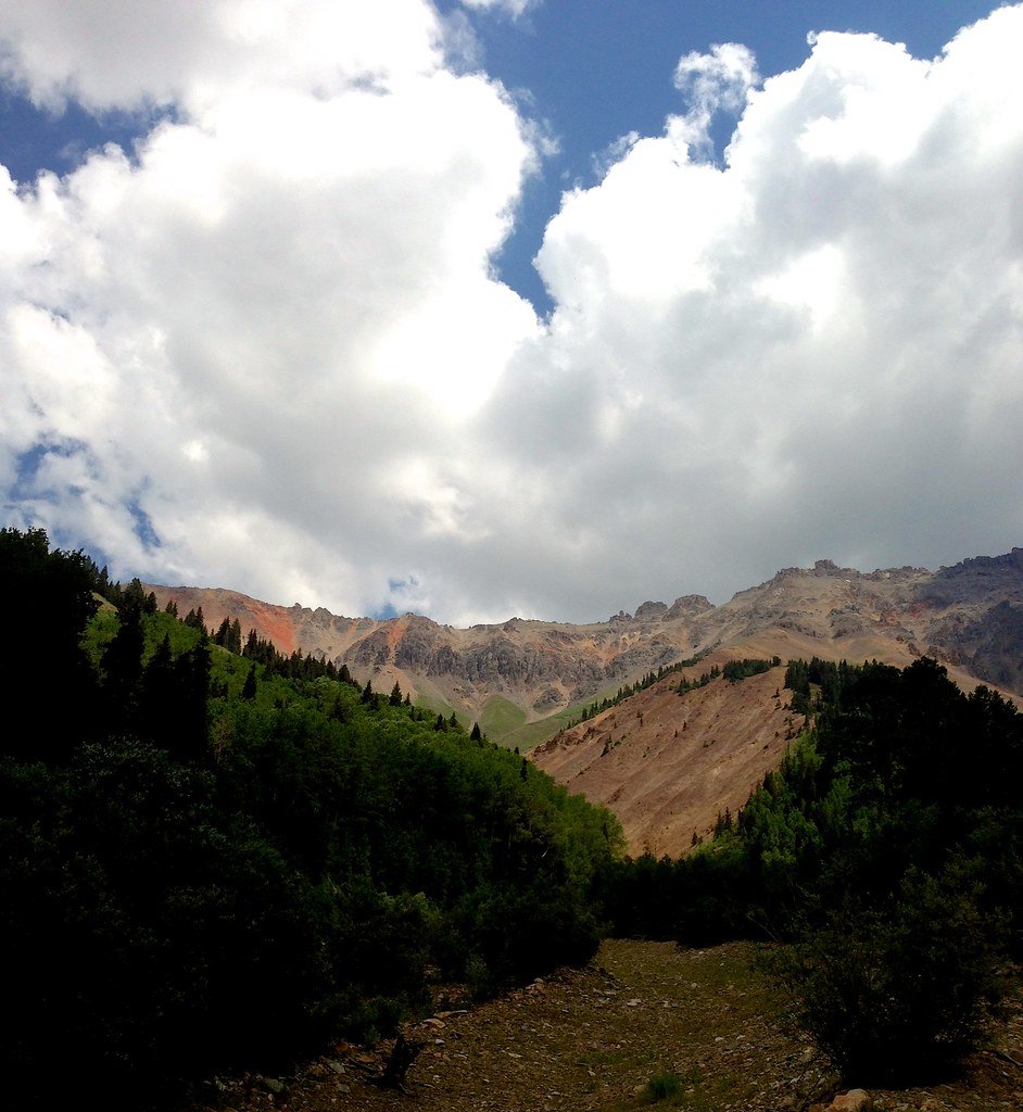 Swamp CanyonHiking · ~5 min drivePhoto: sdingle, CC BY-SA 2.0 (via Flickr)
 Vermilion PeakHiking · ~10 min drivePhoto: Dave Lyskawa (talk · contribs), Public domain (via Wikimedia Commons)Corkscrew Gulch Turntable TrailHiking · ~10 min drivePhoto: Tobias from Germany, CC BY 2.0 (via Wikimedia Commons)
 Trico PeakHiking · ~6 min drivePhoto: John Fowler from Placitas, NM, USA, CC BY 2.0 (via Wikimedia Commons)
Also worth it near here
 Lookout PeakSummit · ~2 min drivePhoto: Larry Lamsa, CC BY 2.0 (via Wikimedia Commons)Lewis MineMountain biking · ~3 min drivePhoto: John Fowler from Placitas, NM, USA, CC BY 2.0 (via Wikimedia Commons)Primitive Campsite near Ice Lake (San Juan National Forest)Camping · ~5 min drivePhoto: John Fowler from Placitas, NM, USA, CC BY 2.0 (via Wikimedia Commons)
Map and trail data © OpenStreetMap contributors
