Silverton Lakes Campground
Campground
Campground · 3.7 mi from the trail
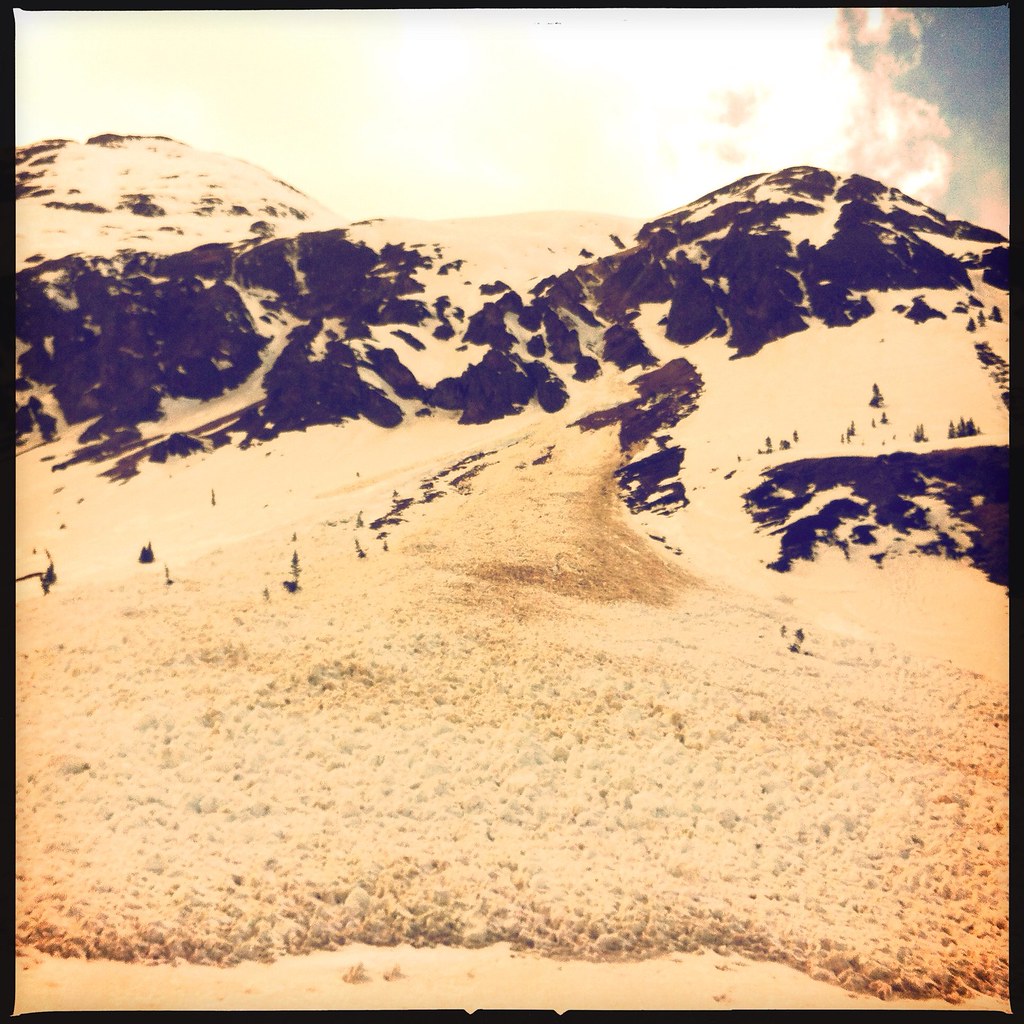 Photo: denverkid, CC BY 2.0 (via Flickr)
Emery Peak is a 13,297-foot summit in Colorado on Bureau of Land Management land within the Gunnison Field Office. The route begins at Velocity Basin Parking and is an out-and-back covering 8.8 miles round trip with about 4,044 feet of climbing. The mapped trail ends roughly 0.6 miles and 1,055 feet from the summit, and the final stretch is off-trail with no mapped path, so route-finding is needed. The climb is rated expert, and the one-way gain is about 3,018 feet. The peak sits in the high country, and the final approach is the most challenging part of the day. Dome Mountain and Bonita Peak both start about 0.1 mile away. Silverton Lakes Campground is about 3.7 miles off, and the Animas River offers canoeing about 3.2 miles away.
Silverton Lakes Campground
Campground
Smuggler Union Tramhouse
Attraction
Places © OpenStreetMap contributors, Places © Overture Maps Foundation
More in TellurideNot on Roamze yet. Their page has how to reach them.
Daily highs and lows, wind and the chance of precipitation at the summit and route start for the next 7 days, from the Open-Meteo model.
Dome MountainHikingPhoto: denverkid, CC BY 2.0 (via Flickr)0.1 miBonita PeakHikingPhoto: denverkid, CC BY 2.0 (via Flickr)0.1 mi Animas RiverCanoeingPhoto: Clyde frogg, CC BY-SA 3.0 (via Wikimedia Commons)3.2 mi
 Silverton Lakes CampgroundCampingPhoto: Rainer Halama, CC BY-SA 3.0 (via Wikimedia Commons)3.7 mi
 Dispersed camp siteCampingPhoto: Tobias from Germany, CC BY 2.0 (via Wikimedia Commons)4.4 mi
Source: Roamze catalog (indexable pages within 10 miles, PostGIS distance)
 Trico PeakHiking · ~7 min drivePhoto: John Fowler from Placitas, NM, USA, CC BY 2.0 (via Wikimedia Commons)Guston TrailHiking · ~7 min drivePhoto: Tobias from Germany, CC BY 2.0 (via Wikimedia Commons)
 COLUMBINE LAKEHiking · ~8 min drivePhoto: Sandy Horvath-Dori from Grand Junction, CO, USA, CC BY 2.0 (via Wikimedia Commons)
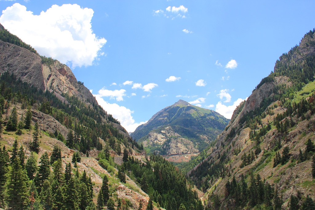 Beaver/Belfast Mine TrailHiking · ~9 min drivePhoto: daveynin, CC BY 2.0 (via Flickr)
 Three NeedlesHiking · ~9 min drivePhoto: squeaks2569, CC BY-SA 2.0 (via Flickr)Corkscrew Gulch Turntable TrailHiking · ~7 min drivePhoto: Tobias from Germany, CC BY 2.0 (via Wikimedia Commons)
 Seigal MountainHiking · ~10 min drivePhoto: mjhbower, CC BY-SA 2.0 (via Flickr)
 Tuttle MountainHiking · ~10 min drivePhoto: mjhbower, CC BY-SA 2.0 (via Flickr)
 Albany Loop TrailHiking · ~11 min drivePhoto: Sandy Horvath-Dori from Grand Junction, CO, USA, CC BY 2.0 (via Wikimedia Commons)
 Jones MountainHiking · ~10 min drivePhoto: mjhbower, CC BY-SA 2.0 (via Flickr)
Also worth it near here
 Silverton MountainDownhill skiing · ~1 min drivePhoto: Zach Dischner, CC BY 2.0 (via Wikimedia Commons)
 Tower MountainSummit · ~2 min drivePhoto: Person-with-No Name, CC BY 2.5 (via Wikimedia Commons)Animas RiverCanoeing · ~5 min drivePhoto: Clyde frogg, CC BY-SA 3.0 (via Wikimedia Commons)Silverton Lakes CampgroundCamping · ~6 min drivePhoto: Rainer Halama, CC BY-SA 3.0 (via Wikimedia Commons)
About 8.8 mi round trip from Velocity Basin Parking.
About 4,044 ft of climbing round trip.
It is rated expert.
Velocity Basin Parking.
© openrouteservice.org by HeiGIT | Map data © OpenStreetMap contributors
